New Trails Built in Elizabethtown
The Barkeater Trails Alliance has done it again: the nonprofit organization has built another network of fun mountain-bike trails, this time in Elizabethtown.
Guest Blog by Phil Brown
The new trails, totaling about 3 miles, are on town land next to the Cobble Hill Golf Course. They are located across Route 9N from the Blueberry Hill bike trails, and it’s easy to ride between the two networks.
The Cobble Hill trails are so fresh that when I rode them in mid-July they for the most part lacked signs and markers. I navigated with the help of a map on the Trailforks app.

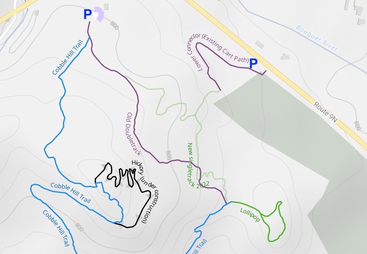
At the suggestion of Josh Wilson, BETA’s executive director, I traveled in a counterclockwise loop with a side trip on a short trail known as Lollipop, for a total of 2.6 miles. I missed the one expert trail, Hickory, which Josh had described as unfinished but rideable.
There are two parking areas for the Cobble Hill trails. The main one is a grassy swath bordered by woods on the edge of the golf course. The town plans to build a pavilion here.
Despite the lack of signs (they're coming), the route I took isn’t hard to follow. To reach the trails, bike along the left edge of the swath for less than a tenth of a mile to an obvious double-track route on the left. Go up the double-track a tenth of a mile to a junction. Turn right here. Soon after, you come to a fork, the start of a nearly two-mile loop. Bear right again, cycling up an easy hill, until coming to a junction with an old woods road, reached a half-mile from the parking area.

Turn right on the road and coast downhill about a tenth of a mile. Look for a stake on the left with an arrow. This is the start of the single-track Cobble Hill Trail. It has been easy riding on double-track to this point. The Cobble Hill Trail, rated intermediate, is a little harder.
(From this junction you can see a water tower. It’s also possible to reach the trail network via a short dirt road that leads from Route 9N to the tower. The road is now too eroded to drive, but once it has been repaired, bikers will be able to park near the tower. The dirt road also provides the link between the Cobble Hill and the Blueberry Hill networks. Just ride down the road, cross Route 9N and follow Lord Road a short distance to a trailhead on the left.)
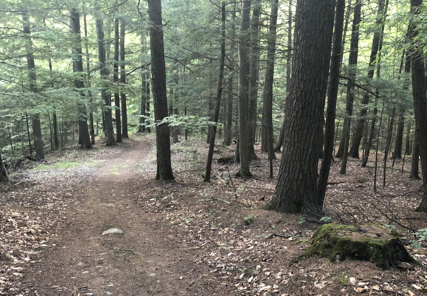
Starting up the single-track, I came to a wooden sign identifying the route as the Cobble Hill Trail--the only such sign I saw all day. The trail headed uphill but soon leveled out. A mile from the parking area, I reached the trail’s high point. From here I began a long descent--the highlight of the trip--via sharp switchbacks and straight cruises.
At 1.85 miles into my trip, I came to an intersection of two woods roads. I went straight here to get on the easy Lollipop Trail and came to a fork. Bearing right, I traveled in a loop on a wooded hilltop. Once at the fork again, I went right and returned to the crossroads. The entire Lollipop is only a quarter-mile, well worth the detour.

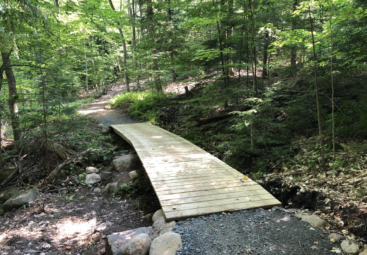
At this point, you have just a half-mile of easy riding to get back to your car. When you return on the Lollipop, continue straight on a woods road a short way, then veer right onto single-track. The trail goes slightly uphill, crosses the road, levels, crosses the road again, then heads downhill. Just after crossing a wide wooden bridge, you reach the fork at the start of the big loop. Bear right and return to the parking area the way you came.
According to my Garmin watch, the ride was 2.6 miles with about 390 feet of elevation gain. The entire trip took place on easy or intermediate trails. I would have given the expert trail a shot, but I didn’t see it. Evidently, it leaves the Cobble Hill Trail somewhere near the latter’s high point and then rejoins it. Oh, well, maybe next time.
GETTING THERE: The turn for the parking area is difficult to spot. On the day of my visit, it was marked only by two metal stakes with ribbons. If coming from Keene, drive east on 9N toward Elizabethtown for 9.4 miles and look for the entrance on the right. If coming from Elizabethtown, drive west on 9N for 0.5 miles; the entrance will on the left. A short, bumpy dirt road leads to the grassy swath.
Another option is to park at a pullout at a swimming hole on the north side of 9N just east of Lord Road. From here you cross the highway and bike (or walk) up the washed-out road that leads to the water tower. Then look for the signpost marking the start of the Cobble Hill Trail. Lord Road is 8.9 miles from Keene and about a mile from Elizabethtown.


