Three MTB Gems Just Outside the Blue Line
Go north and check out these three sweet singletrack networks just outside the Blue Line.
by Phil Brown
In my quest to visit all the mountain-bike networks in and around the Adirondack Park, I explored three just outside the Blue Line in St. Lawerence County this summer: Lenny Road, Downerville State Forest, and High Flats State Forest.
The St. Lawrence County Mountain Bike Association (SLMBA) maintains the trails at the three venues, all of which lie south of Potsdam within a short drive of each other.
In addition, the Clarkson University Bike Club maintains trails at Seven Springs, college-owned land that abuts the High Flats State Forest. The Clarkson trails connect to the SLMBA trails, so these areas can be considered one network.
Any of the networks is a worthy destination, but in this column I focus on Lenny Road. I visited the area three times and scoped out a wonderful intermediate loop ride through beautiful forests with pretty views of the Raquette River and tributary streams.
Lenny Road is a dirt road that starts just outside the hamlet of Colton. The SLMBA trails, totaling about eight miles, can be found on the east side of the road on land owned by the county. On the west side of the road are the Stone Valley hiking trails, which parallel the Raquette. Much of this land is owned by Brookfield Renewable Power.
My recommended route incorporates about 6.5 miles of SLMBA trails, all rated novice or intermediate; about 1.5 miles of the Stone Valley trails; and two short stretches of Lenny Road. In all, about 8.3 miles of riding, with roughly 900 feet of climbing.
If coming from Colton, the trailhead is 0.8 miles down Lenny Road on the right (44.566584, -74.935410). After pulling into the grassy parking area, look for the Lenny’s Loops trail on the right, marked by a small wooden sign set back in the woods. This is the start of the route.
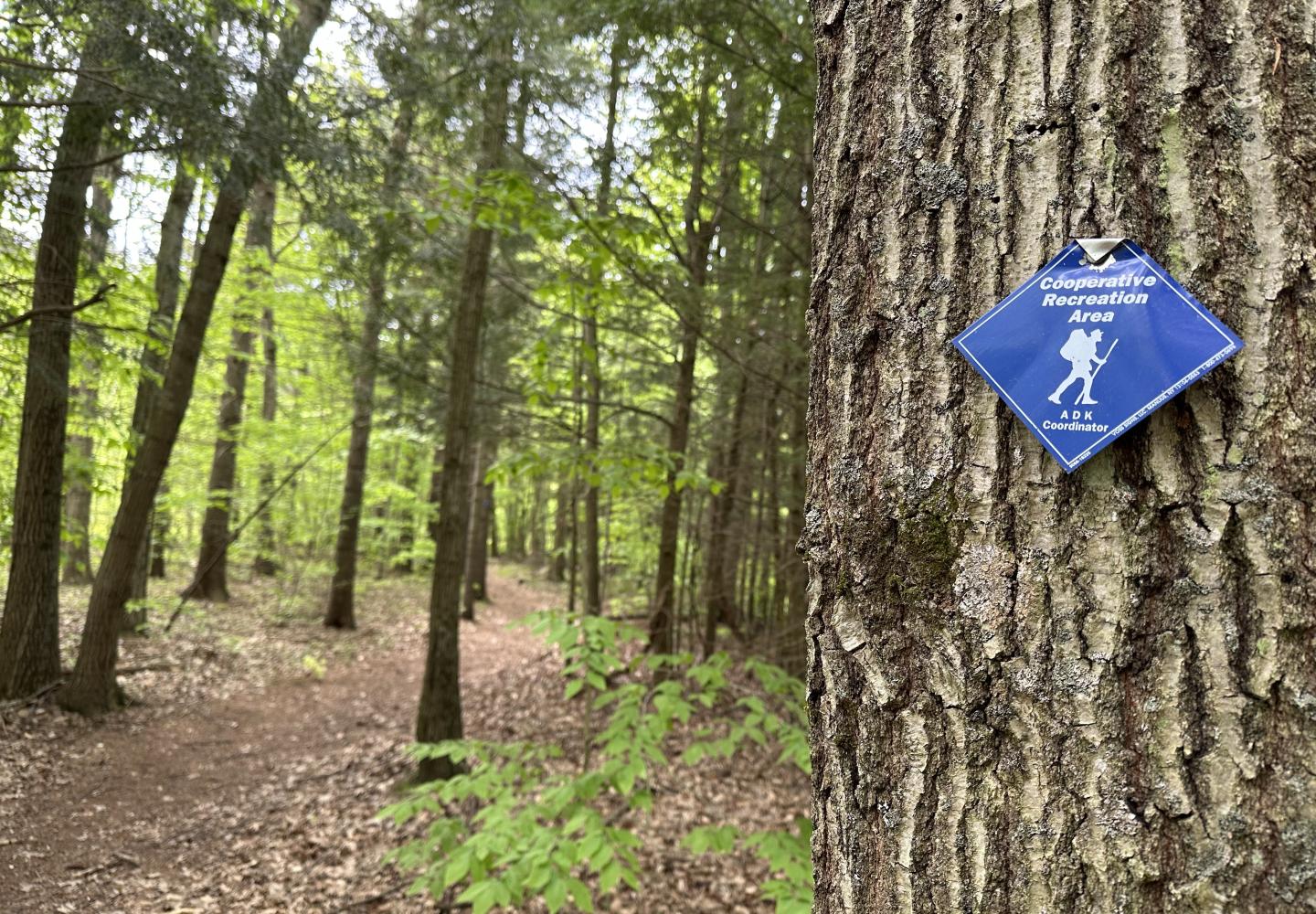
Lenny’s Loops
Lenny’s Loops is one of the best novice trails in the North Country. For starters, it’s 2.4 miles long. The trail meanders, but it’s not too twisty. You really feel as if you’re going somewhere, not just in circles. The tread is usually smooth, though the trail offers a few optional features for more experienced riders.
Not surprisingly, Lenny’s Loops is the area’s most popular trail. Tom Schofell, SLMBA’s president, credits Ben Yandeau with laying it out. A schoolteacher with summers off, Yandeau also has done a lot of work on other trails. “You can’t count the hours he put in,” Schofell said.
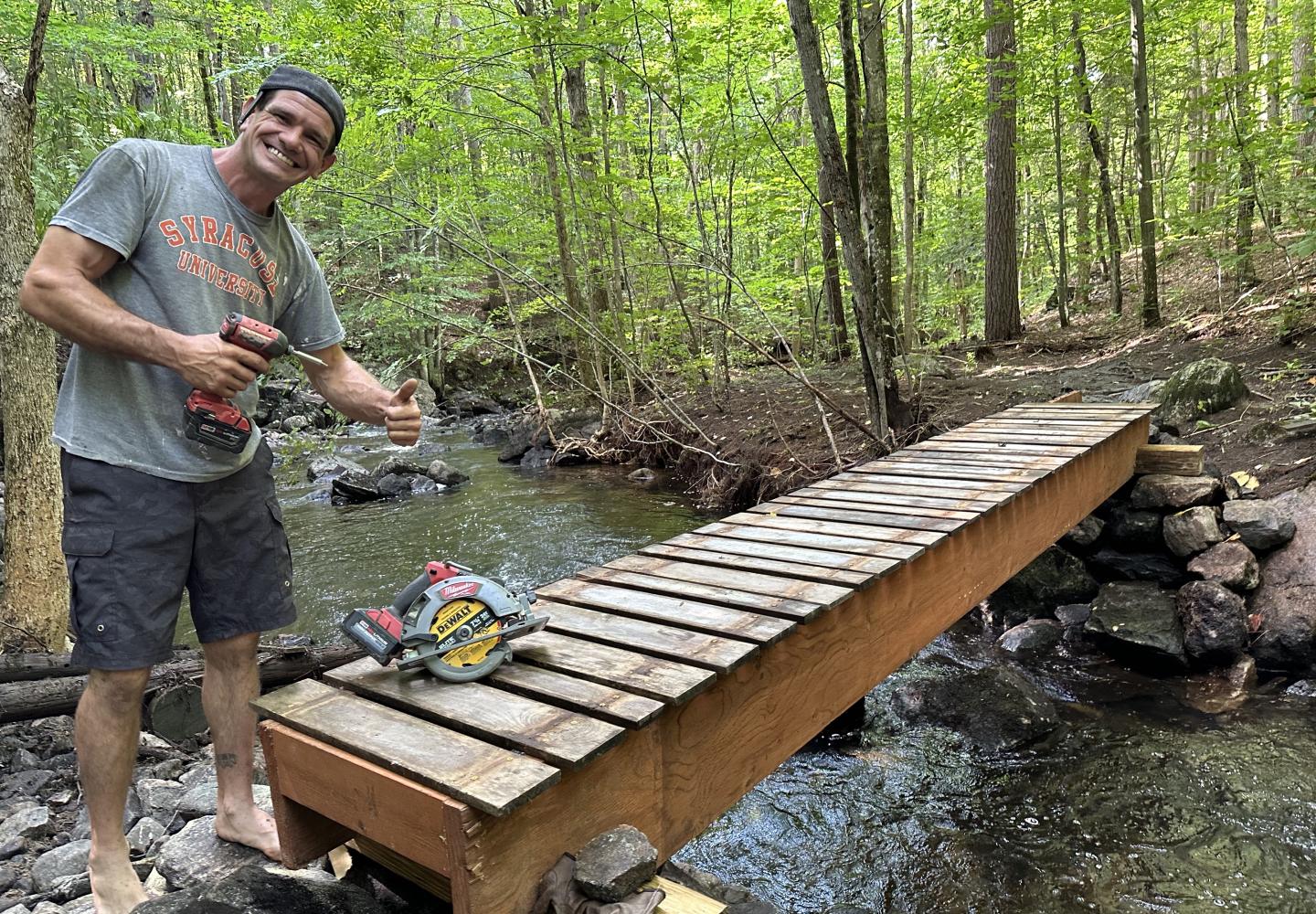
For the first half of Lenny’s Loops, you ride through a pine forest with only small ups and downs. At 1.8 miles, you begin a steep descent along a ravine (which may intimidate raw beginners) and then pull alongside O’Malley Brook. Lenny’s Loops ends at a junction with The Office. Turn right here and go a short distance to a wooden bridge over O’Malley Brook. Cross the bridge (rebuilt after a washout this summer) and go up a small rise to the junction of the O’Malley Brook trail and Express.
Express & O’Malley Brook
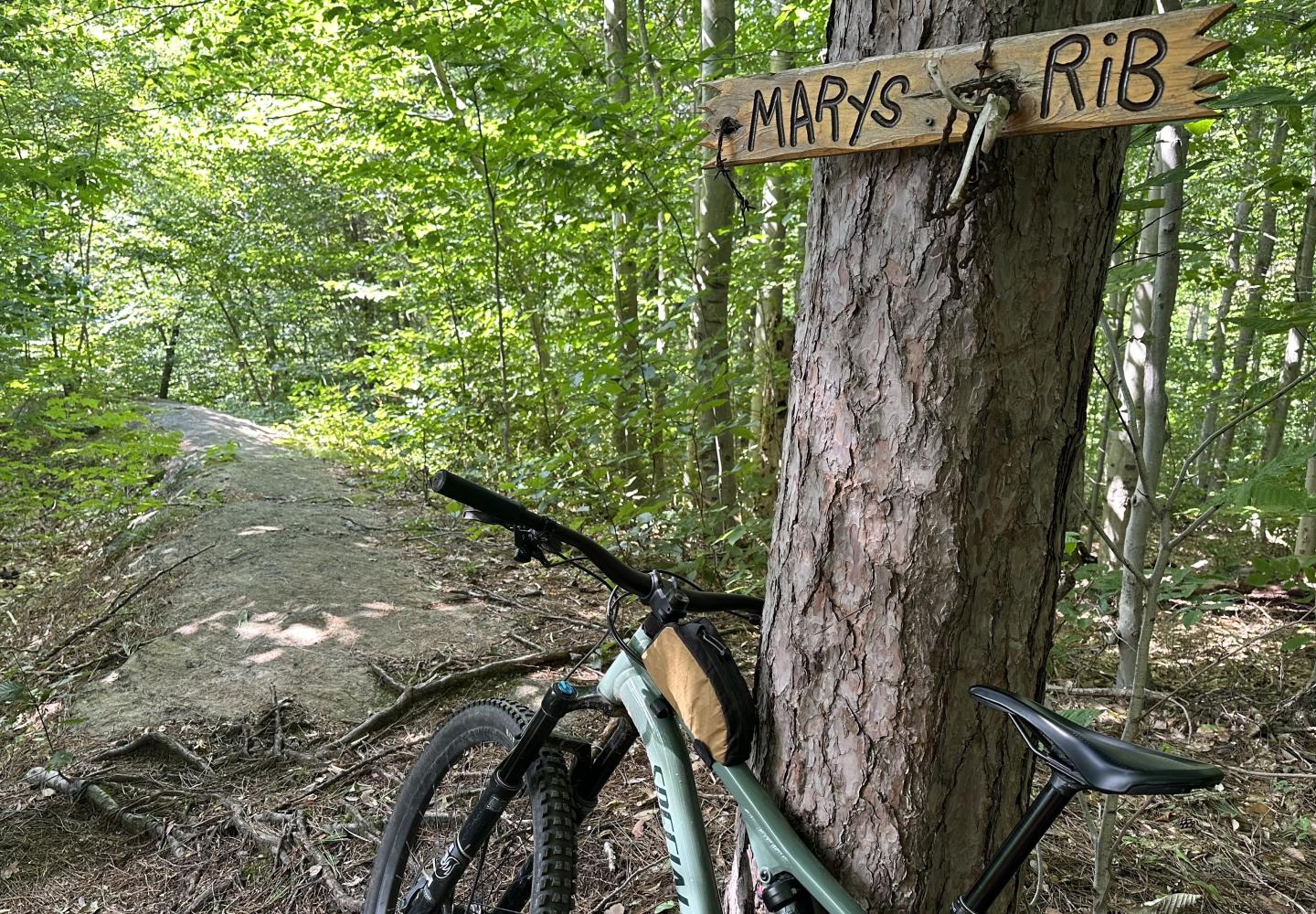
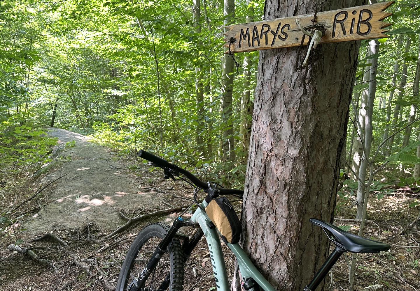
Express is the premier intermediate trail at Lenny Road. At the junction, turn right to climb 1.2 miles to a short one-way loop. Ascend the loop counterclockwise. At the top, you can rest in Adirondack chairs next to a narrow ridge of bedrock dubbed Mary’s Rib. I managed to ride down the rib, but I dismounted before a steeper drop.
Once back at the main trail, you face a thrilling descent, with several optional jumps, on the return to the O’Malley Brook junction. There is one must-do feature that I found difficult: after threading a few boulders, bikers must surmount a huge boulder by going up a rock ramp and down another. I lost momentum and made it only partway up the first ramp.
Since Express is an out-and-back, it is a detour off the primary loop, but it’s such a good trail that you shouldn’t miss it. Expert riders have the option of ascending Express and descending the trails known as the Ledges. This would eliminate backtracking, but the Ledges are quite technical, with mandatory drops and difficult maneuvers. The hardest parts are rated double black diamond.
After returning to the junction, take O’Malley Brook, another intermediate trail. In the first half, you’ll need to deal with a washout, rocks and roots, and blowdown at a creek crossing. The going then gets easier. After passing through a meadow, the trail ends in 0.85 miles at Lenny Road.
Stone Valley
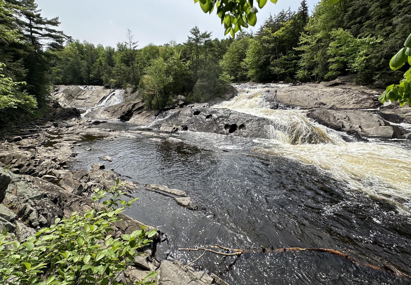
The Stone Valley trails offer spectacular views of the Raquette River. On this section of the loop, you sometimes ride close beside the river. At other times, you gaze down on the river from a piney ridge. Unlike some Stone Valley trails, those described here can be biked with little difficulty. Be aware that the this part of the route is mostly unmarked.
When you reach Lenny Road, turn right, go about a tenth of a mile, and then turn left onto an overgrown, unmarked trail that soon leads to a wide, smooth woods road. Turn left and follow the pine-needle-stewn road about 250 yards to O’Malley Brook near its confluence with the Raquette. The bridge over the brook washed away this summer, but I was able to ford the stream without much trouble.
On the other side of the brook, the trail descends steeply toward the Raquette. To avoid this difficult bit, look for an inconspicuous side trail on the left that switchbacks downhill, rejoining the main trail at a rivulet. After crossing the rivulet, you soon reach a fork. Bear left, switchbacking uphill (the trail has a blue marker) to a ridge with fine views and easy riding. Shortly, the main trail makes another steep descent toward the river. This, too, can be avoided by taking a switchbacking side trail on the left.
At the bottom of the hill, you are within spitting distance of the Raquette. From here follow the easy trail 0.35 miles a T-intersection. Turn left and go 0.25 miles to a gravel parking area on Lenny Road.
Happy Ending
You have only a half-mile to go. Turn right onto Lenny Road, go 0.2 miles, and look for the sign for Happy, a novice bike trail, on the left just past a logged clearing. Head downhill on Happy, bearing right at the first junction. In 0.3 miles, Happy ends at Rolly Polly. Turn right and ride the last few yards to the parking area.
For sheer variety, this ride is hard to beat. It’s got it all: mellow single-track, an exciting downhill, wide woods roads, pine forests, woodsy streams, and the mighty Raquette. If you’re an expert rider, you can enjoy even more variety by descending the Ledges. Whichever variation you choose, how fitting that you’ll finish on Happy.
