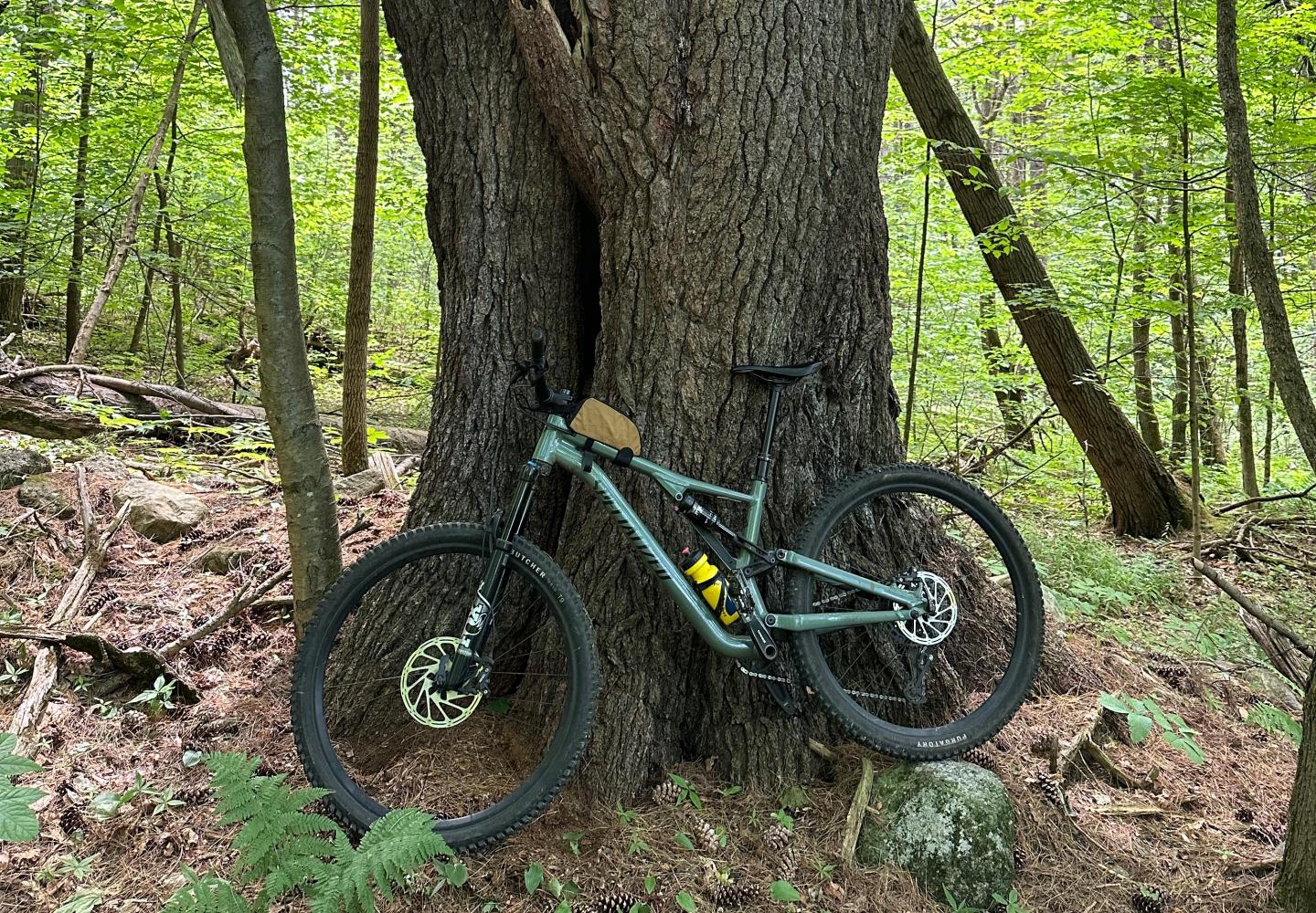
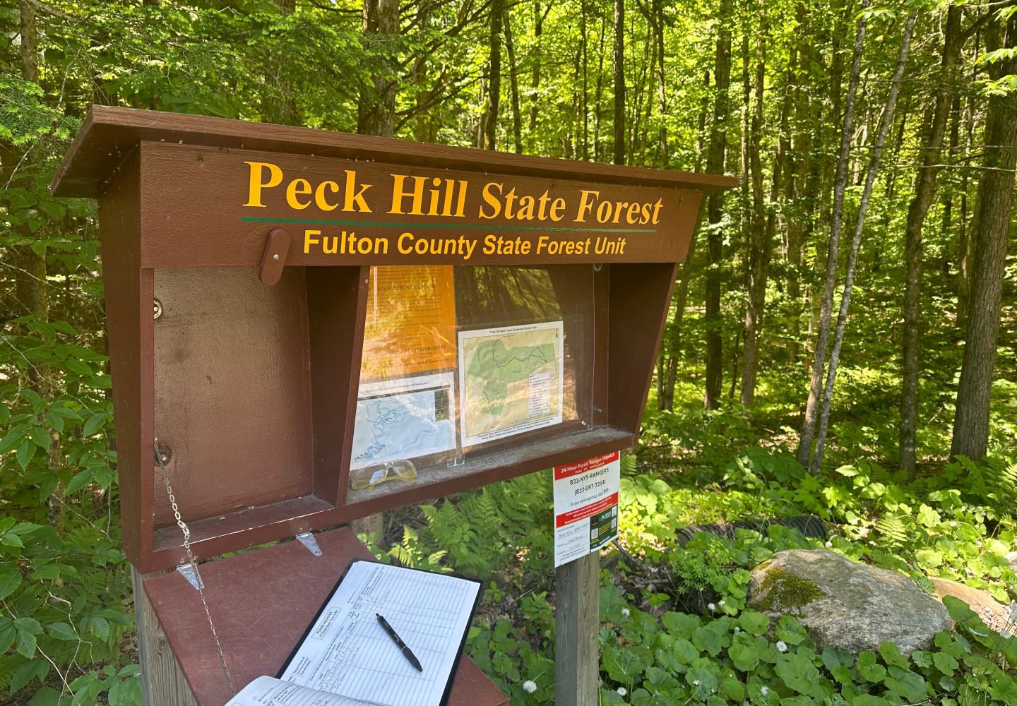
RIDE SPOT: Peck Hill State Forest
If you're in the Caroga area to ride the incredible Wheelerville network, Peck Hill State Forest is right around the corner and worth riding too.
When I visited the Wheelerville Trails in Caroga last year, I ran into a fellow mountain biker who told me about two other trail networks in the nearby hamlet of Meco, just south of the Adirondack Park. Last month I had the chance to visit both and came away impressed.
Peck Hill State Forest, affectionately known as Peck’s--the larger and better maintained network--offers about 12 miles of riding. The Farm Trails offer an additional five miles. The two networks lie on opposite sides of a county road--West Fulton Street Extension--and it’s easy to ride between them on connector trails.
If that doesn’t whet your appetite, perhaps this will: both networks also connect to Stump City Brewing, a bike-friendly enterprise on the edge of the woods. The brewery is the starting (and ending) point for group rides on Wednesday nights.
When I stopped there for a burger, I met two local riders, Michael and Lynne Brown, who told me of a third network that’s still in development. Located off North Bush Road, it can be reached from Peck’s via another connector trail. So far, only a mile has been built, but more trails are planned.

Although Peck’s can be reached on bike from the brewery, it’s more convenient to start at a sizable parking area off County 101. This is where I set off on a weekday morning in early June.
If you’re going to do one trail at Peck’s, make it the Perimeter Loop. As its name suggests, it basically parallels the boundaries of the state land. Trailforks gives the distance at 4.1 miles, with 435 feet of ascent. My GPS watch clocked 4.7 miles and 560 feet of ascent.
If you do the loop counterclockwise, you get most of the climbing out of the way in the first half of the ride. The trail has no sustained ascents, but be prepared for many small ups and downs as you wind through a forest dominated, in turn, by hemlocks, hardwoods, and pines.
After finishing the Perimeter Loop, I did a lollipop loop incorporating the second-longest trail, Middle Earth. Starting at the parking area, I first bombed down Haul Road, a double-track route that bisects the network, took UpNDown to Perimeter Loop, and followed this a short distance to Middle Earth.
Middle Earth is like a shorter version of Perimeter Loop: lots of dips and tight turns, but not as hilly. I rode counterclockwise, eventually returning to the Haul Road. Once back at the car, I checked my watch: 2.85 miles, with 320 feet of ascent. These numbers include the ride to and fro Middle Earth.
Rich Williams of the Adirondack Velo Club, which maintains the networks, later told me of a newer trail that has yet to be posted on Trailforks. Semper Rooticus, as it’s known, is a 1.4-mile corkscrew of a trail, flatter than the others. It begins on the south side of the Perimeter Loop.
When I asked Rich which Peck’s trails a newcomer should not miss, he replied at once, “All of them!” Indeed, it would be possible to do them all in one tour.
There are no immediate plans to expand the Peck’s network. “People always want more trails, so there’s always talk of it,” Rich said.
After lunch at the brewery, I drove to a small pullout on County 131 to check out the new North Bush Road trails. Beginners would like them. There are a few short loops with virtually no obstacles or hills. The most interesting trail descends a narrow gully, curving up and down the banks, before spitting you out along a lovely stream. There is a short climb back to the other trails.
Although I biked all the North Bush trails, the round-trip ride barely topped a mile. Rich said the finished network will have about two miles of trails. He hopes to complete the work this fall or next spring.

I didn’t have much time to explore the Farm Trails that day, but I squeezed in a short ride. Parking along West Fulton Street Extension, I switchbacked up the Farm Trails Connector to an old woods road, which I followed to a short loop called Pines. This twisting trail was so covered with pine needles that it was difficult to follow at times. Yet the descent of the Farm Trails Connector made the jaunt worthwhile.
Two days later I returned for another Farm Trails foray. This time, I parked at Stump City Brewing and pedaled up old woods roads, approaching the network from the opposite direction. At 1.6 miles, I arrived at a trail called Buster. Though designated a black diamond on Trailforks, the descent struck me as intermediate in difficulty. I especially enjoyed the crossing of a stream on a row of rocks. At the bottom of the trail, I popped out on a dirt road.
After Buster, I rode two nested trails called Prestone (intermediate) and Framed (harder). Unfortunately, I encountered blowdown and debris on both. Crossing the dirt road, I next picked up Between Trail, a loop that winds among and over old stone walls. This was in better shape and easier to follow. I then recrossed the dirt road and climbed the Eight Bee trail back to the woods road. On the return to the brewery, I missed the final turn and had to backtrack (the route is not marked).
The Farm Trails, on private and town land, were built years before the Adirondack Velo Club obtained permission to create the network in the Peck’s Hill State Forest. Because the old trails were somewhat overgrown and littered with debris, I wondered if the club had abandoned them in favor of the newer network. Rich assured me that is not the case and that the trails will be cleared again.
“We usually get in there a couple of times a year for maintenance,” he said.
What are the best of the Farm Trails?
“Everybody likes In Between,” Rich said. “And Buster is good. I like the challenge of Framed. And Prestone too.” Then he mused about Ravine and Northway.
Perhaps it’s a question best settled over a beer at Stump City.
Following are GPS coordinates for the various parking areas:
Stump CIty Brewing: 43.046106° N, 74.383452° W
Peck Hill State Forest: 43.053643° N, 74.401864° W
Farm Trails Connector: 43.046261° N, 74.400978° W
New Trails: 43.047500° N, 74.412867° W

