Rail Trail Tested, Fat Bike Approved
With the tracks gone, the Adirondack Rail Trail has seen a fair amount of use this winter from snowmobilers, skiers, hikers, and fat-bikers.
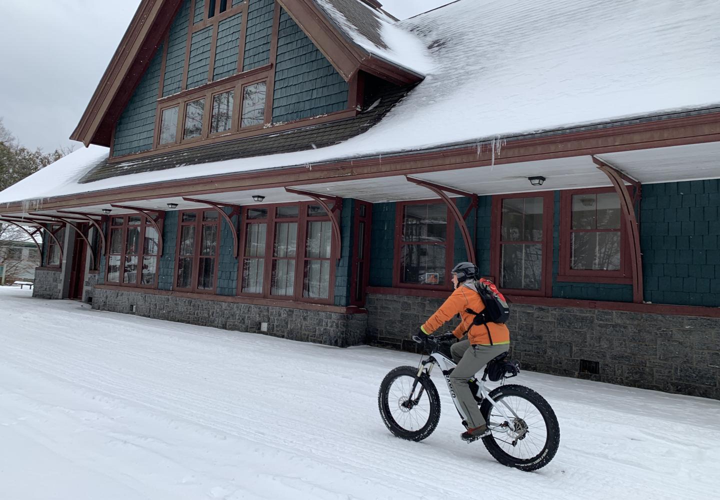
I got in on the action in mid-January when I pedaled a fat bike 16 miles through beautiful forests that, if not for the rail trail, I probably never would have seen.
Since I had not ridden a fat bike any real distance before, I was eager to try out this mode of transportation. I rented the bike from Human Power Planet Earth in Saranac Lake. In the morning, my girlfriend Carol dropped me off at the rail-trail crossing on Floodwood Road. I then rode the bike back to Saranac Lake.
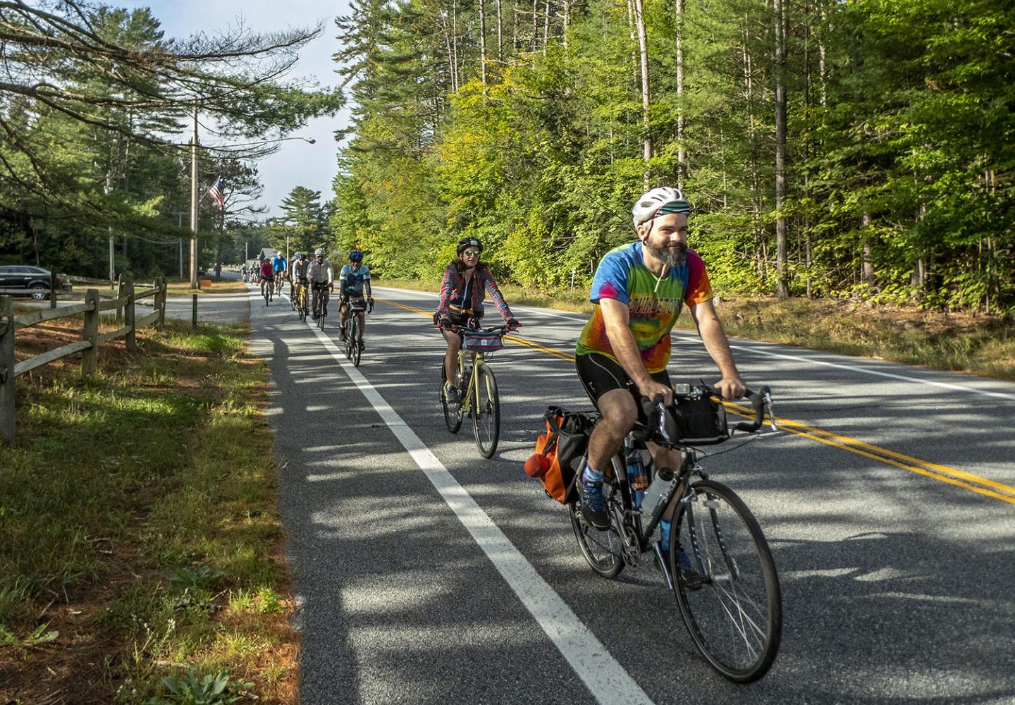
Once the rail trail is finished (a few years hence), warm-weather cyclists will be able to use it in similar fashion. Tourists staying in Lake Placid or Saranac Lake, for instance, could be dropped off in Tupper Lake and pedal back to their hotels. If the trail proves as popular as predicted, I imagine hotels and/or entrepreneurs will offer shuttle services.
The trail also could be incorporated into loop rides. Starting in Saranac Lake, you could cycle up quiet Forest Home Road to Fish Hatchery Road, hop on the rail trail, and take it back to town.
If you’re a mountain biker, here’s another idea: Ride the Bloomingdale Bog Trail north to County Route 55, follow paved roads to the Jackrabbit Trail west of Gabriels, ride south on the trail and logging roads to Lake Clear Junction, and there pick up the rail trail. Eventually, you’d need to leave the rail trail to take a short snowmobile route back to your starting point.
The possibilities are limitless, but they will have to wait until the state Department of Environmental Conservation finishes constructing the trail. DEC intends to begin work this year on the initial stretch between Lake Placid and Saranac Lake.
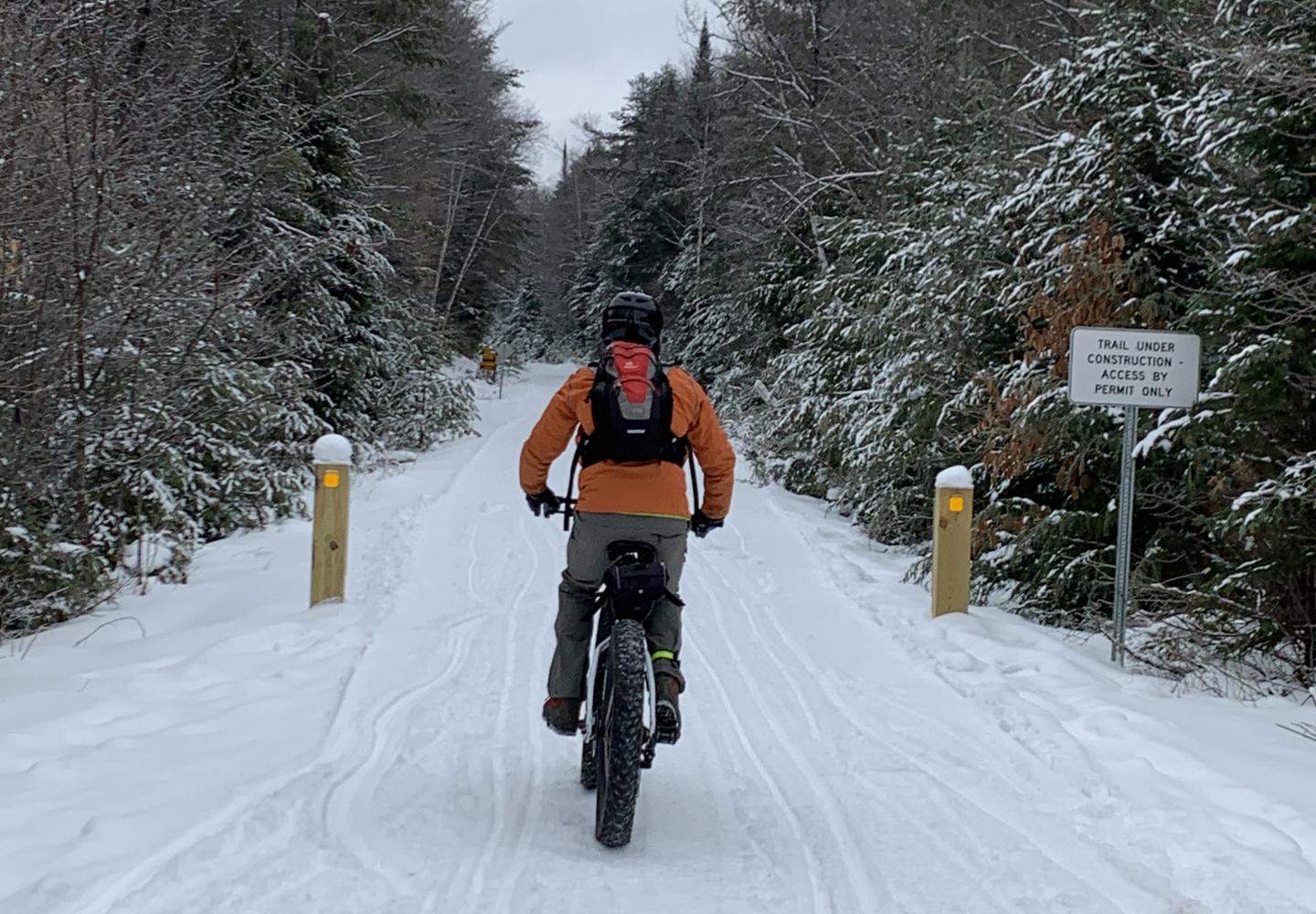
Yet for fat-bikers who ride in winter, the future is now. The 34-mile corridor provides ample opportunities for riding on snow that has been packed down by snowmobiles and grooming machines. Without the snowmobiles, I expect the trail would be a slog to bike.
After Carol dropped me off, I headed east on the trail and soon discovered that fat bikes are not road bikes. I was pedaling hard but my progress was slow. Occasionally, my back tire sank into the snow, fishtailing a bit. With practice, I learned to maintain enough momentum to keep the fishtails to a minimum. Still, I averaged only 5-6 miles an hour over the entire trip. No doubt stronger fat-bike riders could do better.
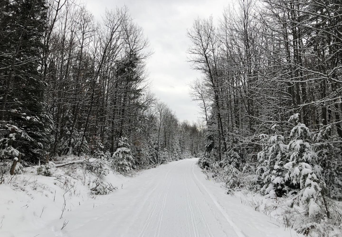
The woods were lovely, thanks to a recent snowfall that whitened the trees. In the first two miles, I passed two small ponds, unnamed on my National Geographic map, and a picturesque meadow. At about 3.0 miles, I passed the carry between Hoel Pond and Turtle Pond. The rail corridor here is the southern boundary of the St. Regis Canoe Area.
At 5.3 miles, I passed Rat Pond on the right and then crossed the summer access road to Green Pond in the Canoe Area. Just beyond I began to see signs of development along Fish Hatchery Road and Route 30: houses, DEC vehicles, fencing, posted signs. Up till here, I had been pedaling mostly through forever-wild Forest Preserve.
By the time I came to the first crossing of a paved road, I had pedaled nearly eight miles. Shortly after this, I rode over the outlet to Lake Clear and then paralleled the south shore of the lake for about a mile. After passing Lake Clear Lodge, I crossed Route 30 and stopped for lunch at Charlie’s Inn.
Charlie’s is well situated to cater to cyclists once the rail trail is finished. It sits roughly at the trail’s midpoint--19 miles from Tupper Lake, 15 miles from Lake Placid. Already popular with snowmobilers, Charlie’s offers a variety of food and drinks (and free Internet). I fortified myself with a turkey half-sandwich and a cup of soup.
Having pedaled 10 snowy miles to reach Charlie’s, I was a little bushed when I got back in the saddle. However, the six miles of trail from Charlie’s to Saranac Lake was even more packed down, making for an easier ride. I actually picked up the pace a bit.
I had reset my Garmin watch when I stopped for lunch, so in the trip description that follows, the distances are measured from Charlie’s, not Floodwood.
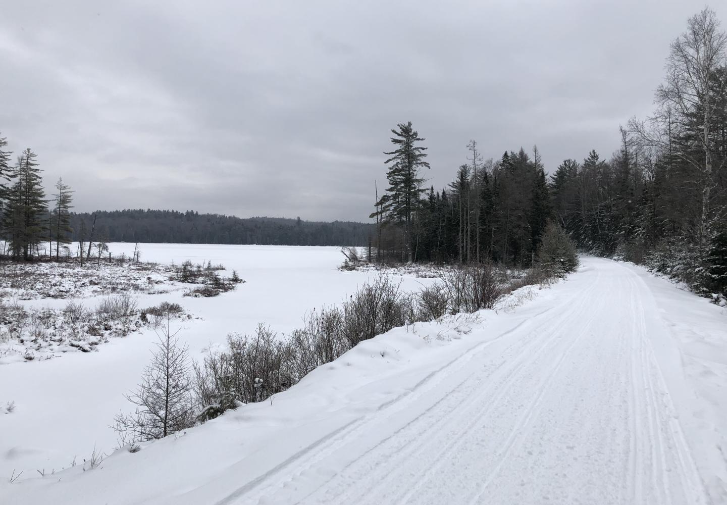
Almost immediately after leaving the restaurant, I crossed Route 186. At 1.6 miles, I crossed McMaster Road--the last road crossing before Saranac Lake. The next four miles were especially enjoyable. Less than a half-mile from McMaster, I came to scenic McCauley Pond, most of which is bordered by private land. Beyond the pond, I pedaled through Forest Preserve for more than two miles. At 3.5 miles from Charlie’s, I approached a large wetland that afforded views of the McKenzie Range west of Saranac Lake.
About a quarter-mile past the wetland, I passed Snowmobile Trail 7B--the route that leads to the Bloomingdale Bog Trail. Continuing on the rail trail, I soon reached the causeway that crosses the south end of Lake Colby. From the causeway you can see some of the local peaks, including Mount Pisgah and Scarface Mountain.
By now, I was almost to Saranac Lake. This section of the trail sees a lot of more use, owing to skiers and walkers from the village. At 5.8 miles, I crossed Route 86 and soon thereafter arrived at the Saranac Lake depot.
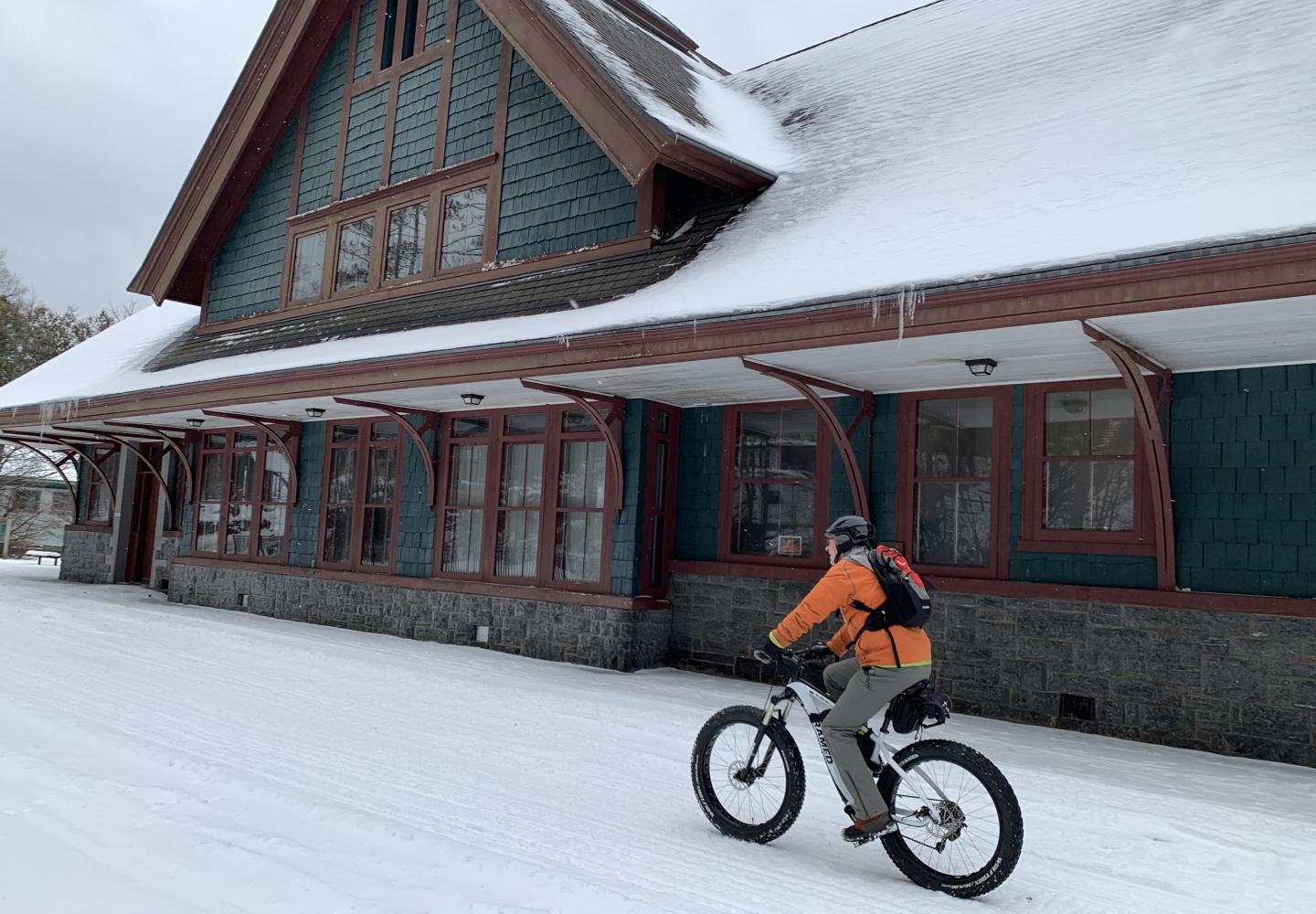
In 16 miles, I saw seven snowmobilers. They all slowed down when passing me. All waved, all were friendly. One even stopped to ask if I was all right (I had dismounted to take notes). This was on a weekday. Traffic may be heavier on a weekend.
More important, I saw several ponds (both big and small), wetlands, meadows, snowy woods, a large lake, and a few mountain summits. I’m looking forward to the day I can enjoy the same scenery from my gravel bike in summer.
Subscribe to our FREE monthly e-newsletter to receive stories and updates direct to your inbox. Like these:
