Rail Trail Opens New Gravel Route Options
Get ready for a whole bunch of new bicycling route possibilities thanks to the Adirondack Rail Trail now in construction.
Guest blog by Phil Brown
In late May, I rode my gravel bike in a wonderful 23-mile loop through green forests and one of the region’s largest bogs. I passed farm fields, beaver meadows and lakes, soaking up sun, scenery and birdsong.
It would not have been possible without the Adirondack Rail Trail.
No, the rail trail is not finished. In fact, construction has yet to begin. The first section, from Lake Placid to Saranac Lake, is expected to be completed in September 2023. In succeeding years, the state will finish the other two sections: Saranac Lake to Lake Clear and, lastly, Lake Clear to Tupper Lake.
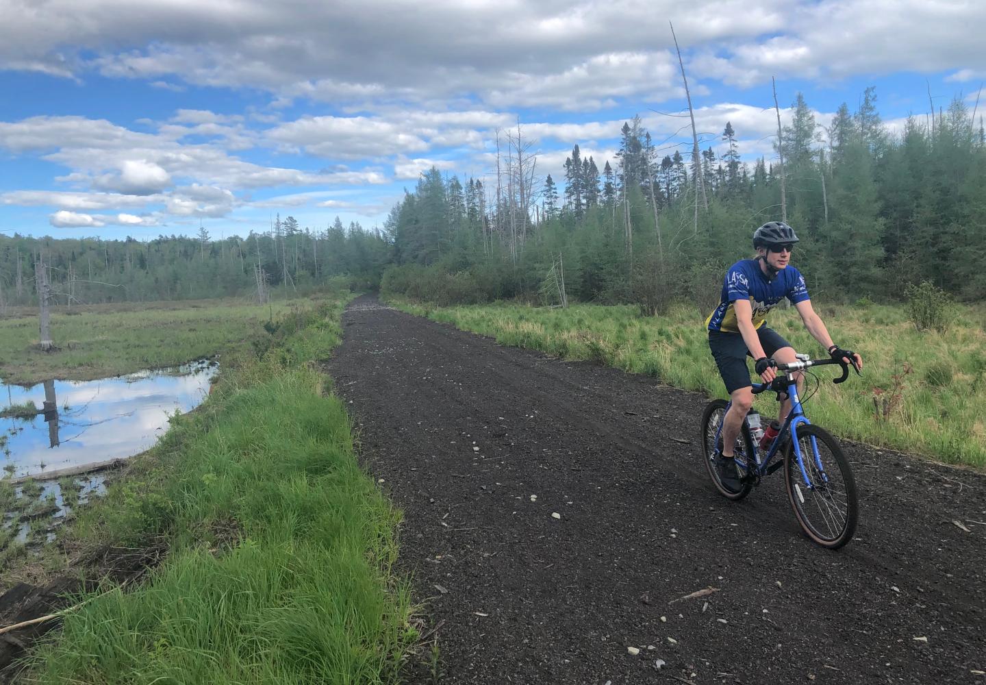
Most of the 34-mile rail trail will be surfaced with packed stone dust, which should be suitable for most road bikes as well as gravel bikes.
Although the rail trail won’t be finished for a few years, the tracks have been removed and parts of the corridor can easily be ridden now with a gravel bike. I incorporated one such stretch into my loop. The ride is a preview of what the rail trail will offer cyclists. It also is an example of how the trail can be used to connect riders to other trails and roads in the region.
I started and ended my trip at the southern end of the Bloomingdale Bog Trail, just north of Saranac Lake. I made use of Forest Preserve trails, logging roads and three former rail beds. Paved roads, used for connections, accounted for less than a third of the riding. There are few uphills on the loop. Over 23 miles, the total ascent amounted to just 675 feet.
For those who want to follow my tracks, I’ve broken down the loop into six sections:
Bloomingdale Bog: 3 miles
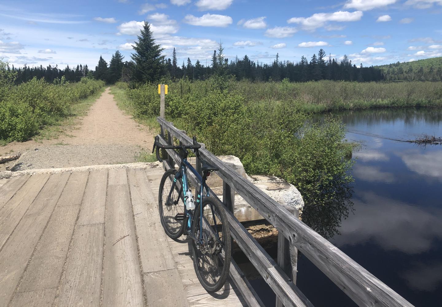
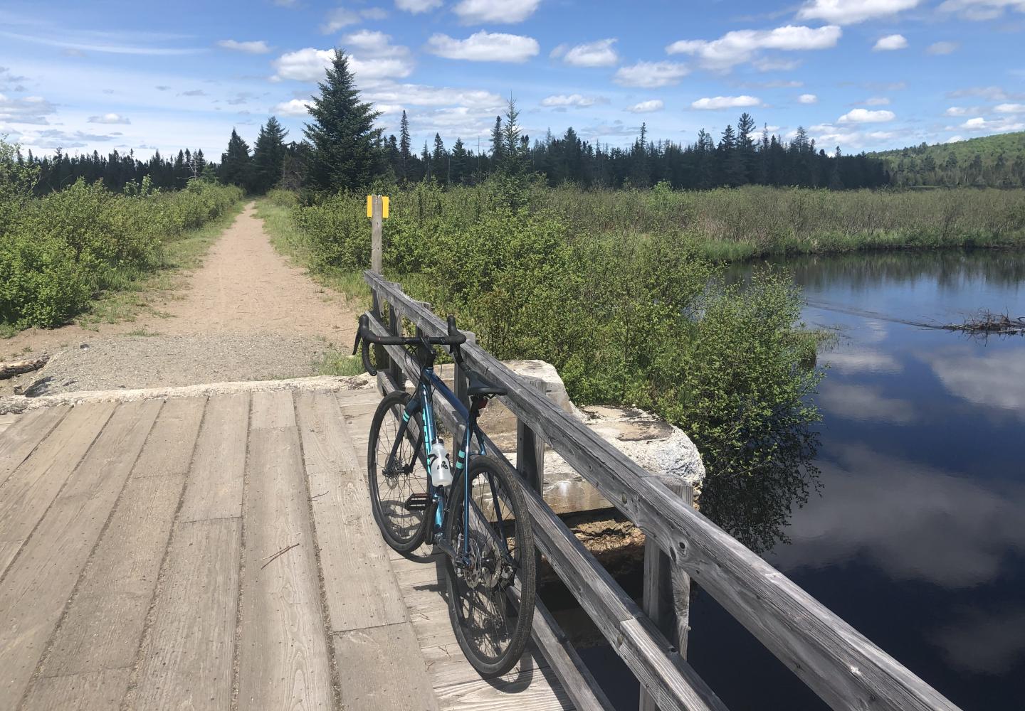
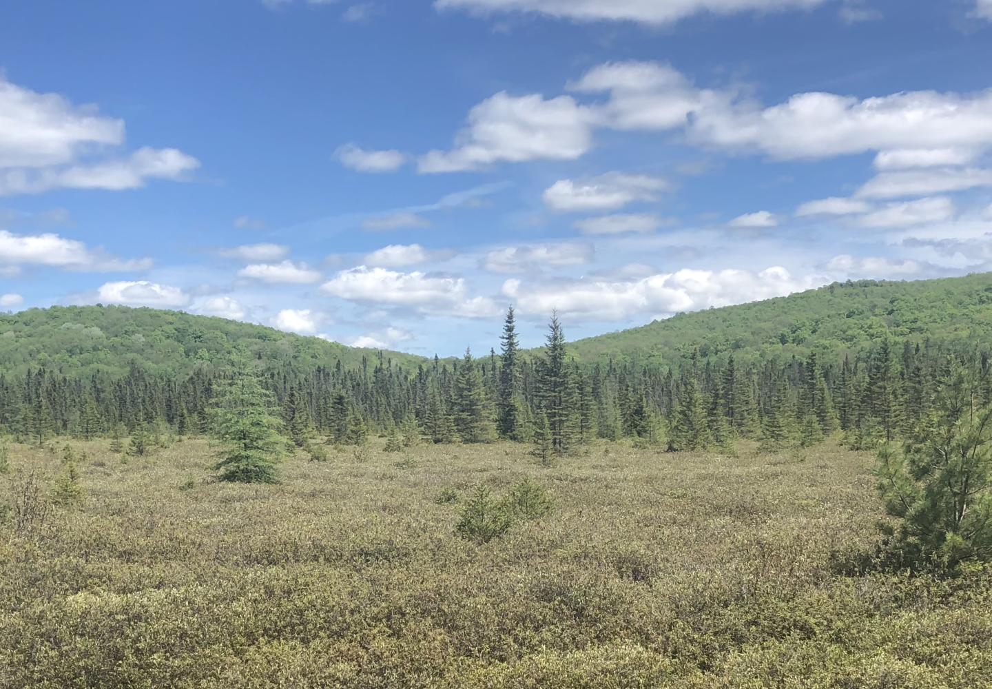
The Bloomingdale Bog Trail follows an old rail bed, cutting a straight line through a 1,000-acre wetland with views of neighboring hills. I had ridden it several times on a mountain bike but never on a gravel bike. It went as expected--that is, pretty well.
Most of the trail is flat and smooth, allowing easy riding. However, beavers often flood parts. On my ride, I pedaled through shallow water in a few places and once had to get off the bike to step over a water-filled hole. Also, there is a half-mile stretch with a lot of big roots. I was able to ride over them by going very slow.
These minor inconveniences did not detract from the enjoyment of riding through a wild and beautiful landscape. In a way, they added to the adventure.
Less than a half-mile after crossing Two Bridge Brook, I reached Franklin County Route 55. The trail continues on the other side of the road, but I turned left to follow pavement to Gabriels and a trailhead for the Jackrabbit Ski Trail.
Roads to Jackrabbit: 5.2 miles
I followed Route 55, which sees little traffic, about two miles. Reaching State Route 86, I turned right and soon passed Mountain View Cemetery. Approaching “downtown” Gabriels, I enjoyed pastoral views of farm fields and nearby peaks.
In Gabriels, I stopped at the Brighton Mini Mart to buy a deli sandwich for later in the trip. From the store, I biked another two miles to an unmarked road that makes a short loop off the main highway. The road is hard to spot, but look for a yellow sign that says “Entering St. Lawrence Watershed.” The road starts across Route 86 from the sign. Take it a tenth of a mile to the Jackrabbit on the left.
Incidentally, Route 86 is busier than the county road, but it boasts wide shoulders.
Jackrabbit and logging roads: 3.8 miles
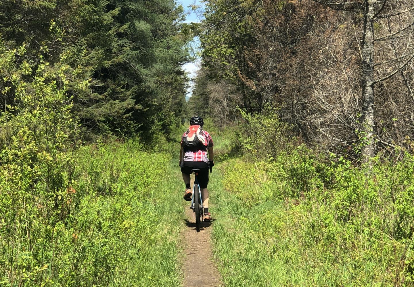
I helped clear blowdown from this part of the Jackrabbit last fall and knew it to be mostly flat, with a few dips. But I still wondered if it would be navigable on a gravel bike. Happily, it was, although I had to dodge small rocks here and there and lift the bike over a few fallen trees.
I did walk the bike through one tricky spot: at the biggest dip, about a mile in, where the trail drops and curves and crosses a wet area spanned by maybe 25 feet of old corduroy. It may be possible to ride through this dip, but I played it safe.
After the dip, the forest changed from primarily evergreen to hardwoods. A few minutes later, at 1.2 miles, I came to a logging road on conservation-easement lands owned by Paul Smith’s College. The public is allowed on these lands.
I turned left here. I had skied this road but had never seen it outside winter. It proved to be ideal for gravel biking. I stayed on it for 1.3 miles until reaching a junction with another good logging road. Turning left, I continued another 1.5 miles to a gate where the road ended at the rail bed of the defunct New York Central Railroad. I turned right here.
New York Central corridor: 1.6 miles
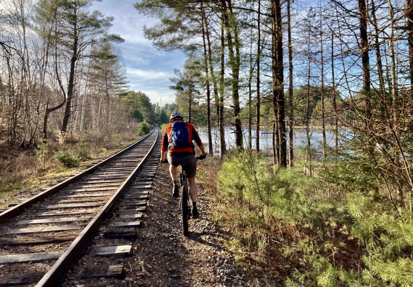
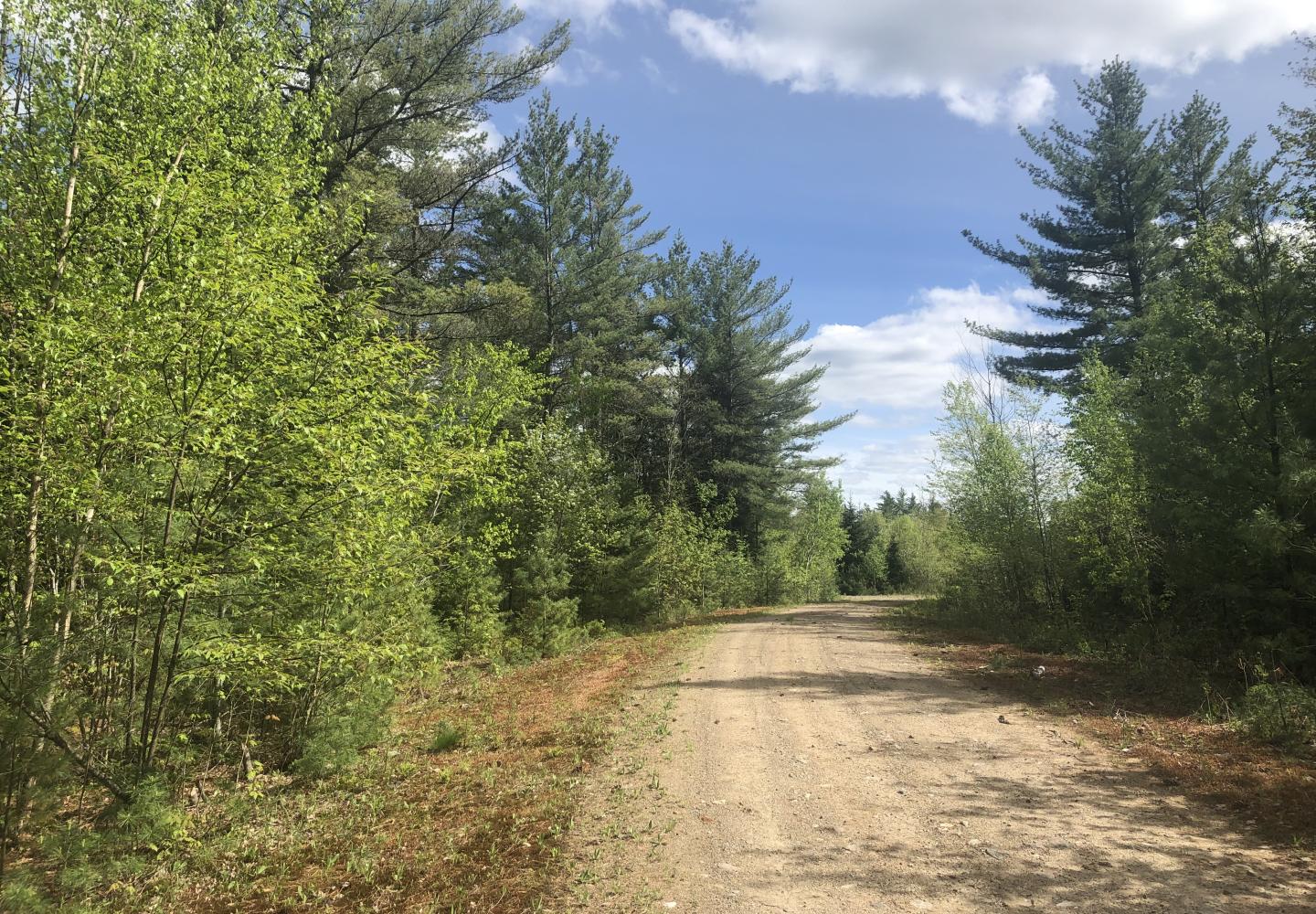
A snowmobile trail in winter, the New York Central corridor is an excellent bike route: wide, smooth, surfaced with dirt, gravel and cinders. As I cycled toward Charlie’s Inn in Lake Clear, I saw a chain-link fence in the woods, presumably to keep wildlife from wandering onto the runways of Lake Clear Airport. I couldn’t see the airport but heard a few planes taking off.
On the way to Charlie’s, I passed a pond dammed by beavers and noticed a few side trails. I briefly explored one that led to a broken wooden bridge near a marshy wetland. At 1.6 miles, I reached Charlie’s. For those in need of food or drink, the inn has a full restaurant and bar. Since I had recently eaten half of my deli sandwich, I kept going. I turned left in front of the inn to get on the Adirondack Rail Trail.
Adirondack Rail Trail: 6.8 miles
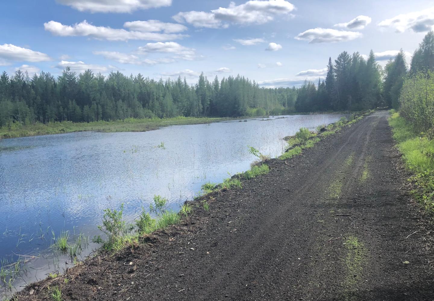
This was a pleasant surprise. I’ve ridden long sections of the rail trail that are covered with crushed stone, not ideal for biking. However, the stretch between Lake Clear and Saranac Lake has very little stone. It was like riding on a dirt road, where gravel bikes excel. The finished trail will be an improvement, but in the meantime this will do.
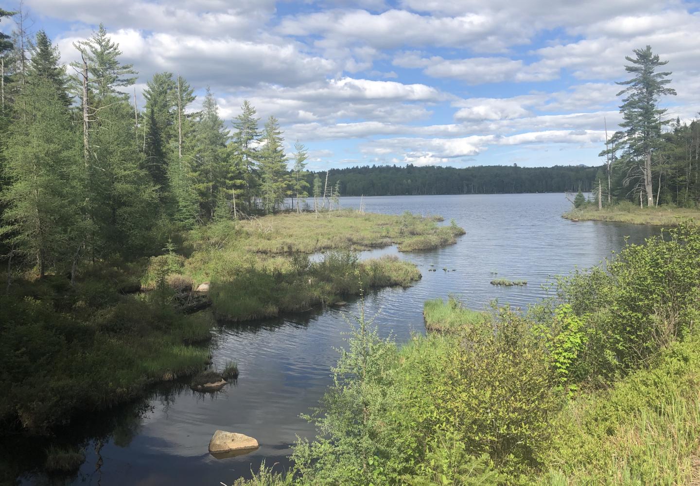
Almost immediately after leaving Charlie’s Inn, I crossed State Route 186. In another 1.2 miles, I reached McMaster Road, the last road crossing before Saranac Lake. En route to the village, I took in views of McCauley Pond, beaver meadows, Lake Colby and various peaks, including the McKenzie Range, all while pedaling through pristine forest.
When I stopped at the meadows to take photos, I met another cyclist, Sam, coming from the opposite direction. He was doing a loop similar to mine. As I approached the village, I saw other cyclists as well as walkers. Imagine how popular the rail trail will be once it’s built!
Roads back to car: 2.3 miles
Once I arrived in the village, I turned left onto NY 86. In a tenth of a mile, I veered right onto Old Colby Road, a quiet local byway, and followed it 1.2 miles to its end. I then made a left and a quick right to rejoin the busier NY 86. In another 0.8 miles I was back at my car.
This road ride can be avoided entirely by taking a snowmobile trail that connects the rail trail to the Bloomingdale Bog Trail. It begins less than a half-mile after passing the beaver meadows (if you’re traveling east). I walked partway up the snowmobile trail. It looked a bit rough for a gravel bike but might be passable. By taking it, however, you’d miss out on two miles of rail trail, including the causeway over Lake Colby.
I loved the variety of this loop--the ever-changing scenery, the experience of riding on everything from foot trails to state highways. It will only get better when the rail trail is finished.
