Phil's Top Rides of 2024
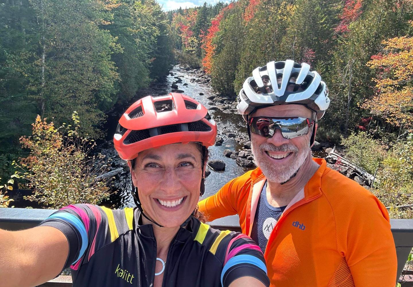
Adirondack author and bicycling enthusiast, Phil Brown, has been writing a column for Bike Adirondacks since 2023. To wrap up his second year of sharing his two-wheeled adventures in-and-around the Blue Line, he recaps some of his favorite rides from this year.
Since I began writing a column for Bike Adirondacks a few years ago, I have sought out new places to ride and write about. With my bike season pretty much done, I thought I’d share a few of my favorite discoveries from this year that I haven’t yet written about.
Old Forge
Old Forge boasts two mountain-bike networks: Maple Ridge and McCauley Mountain. Because they’re separated only by the access road to the McCauley ski area, they can be considered one large network. Together, they offer 26 miles of trail, according to Trailforks.
In June, I had a wonderful tour. Starting at the base of Maple Ridge, I climbed to the ski area and then rode some of the trails on McCauley Mountain. I got in more than nine miles of riding, with about 1,000 feet of ascent.
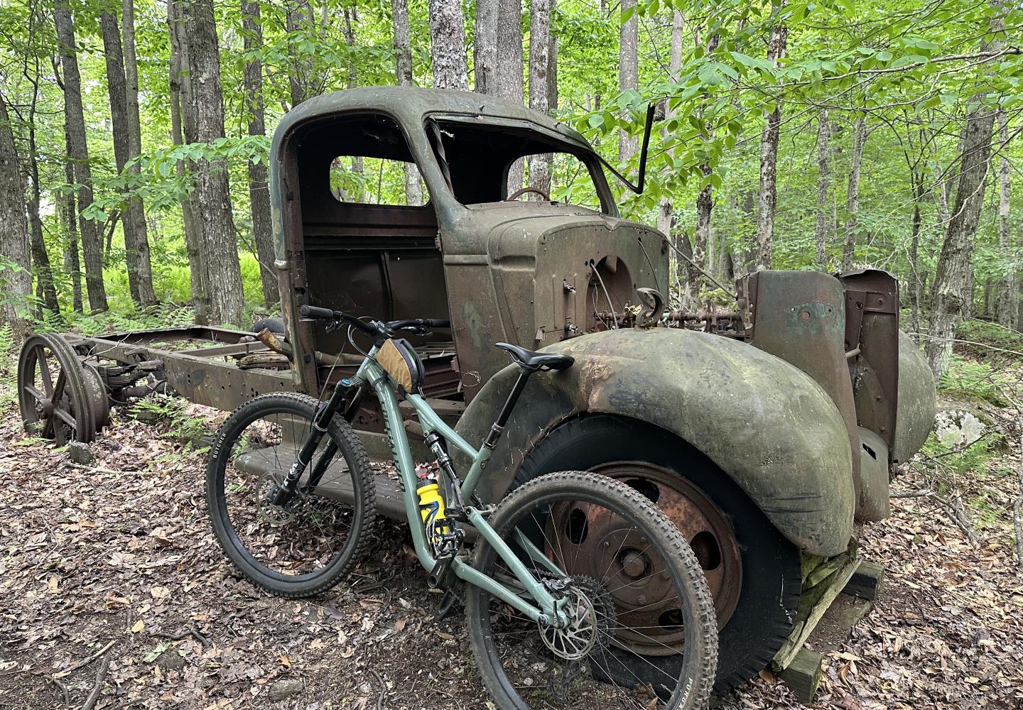
I especially liked Road Trip, a 2.6-mile trail that loops around McCauley’s summit. It can be used to access a number of other trails, including those on nearby Little Moose Mountain. Other bikers might prefer the area’s machine-built flow trails, but I have a soft spot for long-distance woodsy routes.
I didn’t write up my experience last summer as I didn’t feel I could do justice to the Old Forge trails without at least one other visit. I plan to return next year.
Incidentally, I ran into Nick Calogero, a volunteer trail builder for the Adirondack Foothills Trails Alliance. Many weeks after my visit, Nick told me of a brand-new trail that he thinks is the best flow trail in the Adirondacks: the mile-long Out With It on Little Moose. I can’t wait to check it out.
North Creek
Wilderness Property Management has built a trail network at the North Creek Ski Bowl. In May, I parked near the ski bowl pavilion and biked uphill on Ski Bowl Loop to find a nest of trails, most rated intermediate or expert. I ended up at the top of a chairlift and the start of a 2.5-mile route aptly named Long Trail.
I wasn’t sure that I had the time to climb the Long Trail, but I decided to go for it, and I’m glad I did. The trail switchbacks through the woods, occasionally crossing a ski slope and gaining 780 feet in elevation. The thrilling descent back to the pavilion, when combined with the loop trail, is three miles.
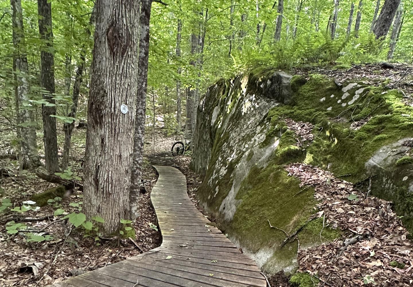
Rated intermediate, the Long Trail is not overly technical, but it has a number of cool features, such as optional jumps and rock bridges over muddy sections. Though not a flow trail per se (no giant berms, etc.), it is flowy. The climbing also is manageable, thanks to the switchbacks.
Given its length and expert design, Long Trail ranks among my favorite intermediate downhill trails in the Park. I’ll give a longer review of the Ski Bowl after a return visit.
Incidentally, Wilderness Property Management also has built mountain-bike trails at Garnet Lodge in nearby North River. These are open to the public without charge.
St. Lawrence County MTB
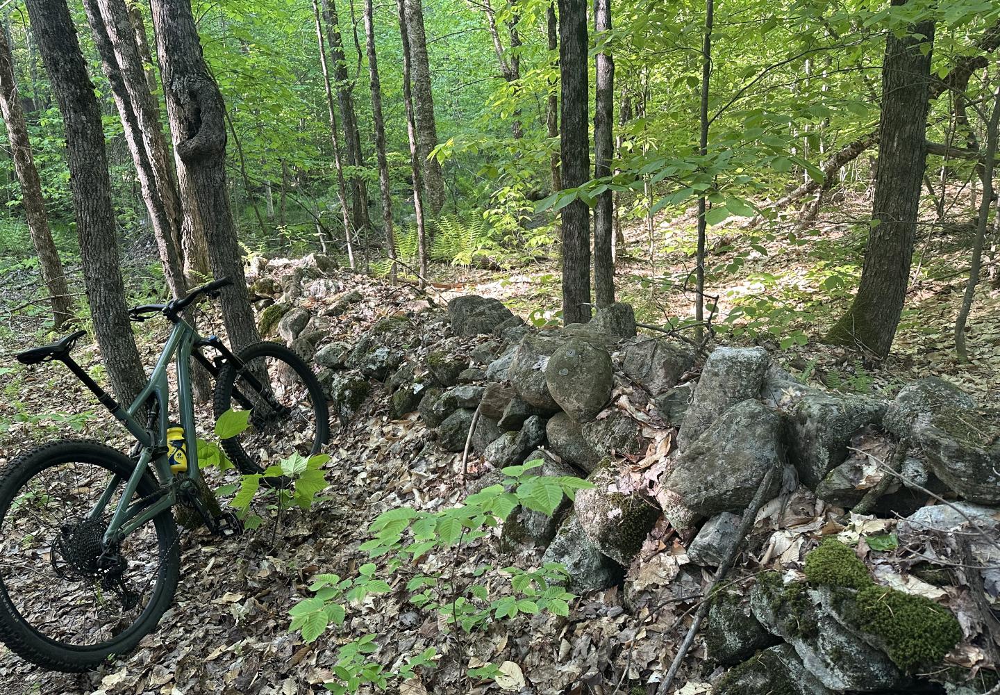
I visited three mountain-bike networks in St. Lawrence County that lie just outside the Blue Line. In my October column, I described a loop ride on the Lenny Road trails near Colton. My other longish tour took place in Downerville State Forest, which borders the North Branch of the Grass River near Russell.
The St. Lawrence County Mountain Biking Association (SLMBA) maintains about 12 miles of single-track at Downerville. On my visit, I rode nine miles with 1,000 feet of ascent, so I covered most of the network. If you start near the river, as I did, expect a fair amount of climbing to reach the heart of the system, but it’s possible to limit the climbing by parking along Donnerville Road.
Most of the trails are rated intermediate, but there are two green routes: Violet’s Loop and Zippy’s Loop. I went early in the season when most of the trails had yet to be cleared of leaves and blowdown. I still enjoyed myself, but before devoting a column to Downerville I want to experience the trails when conditions are primo.
The third network I visited was the High Flats State Forest, where I had time to ride only one trail: Charlie’s Run, a mile-long intermediate trail with some tricky rock features. It’s an excellent trail, whetting my appetite to explore more of the High Flats trails next year.
St. Lawrence County Gravel
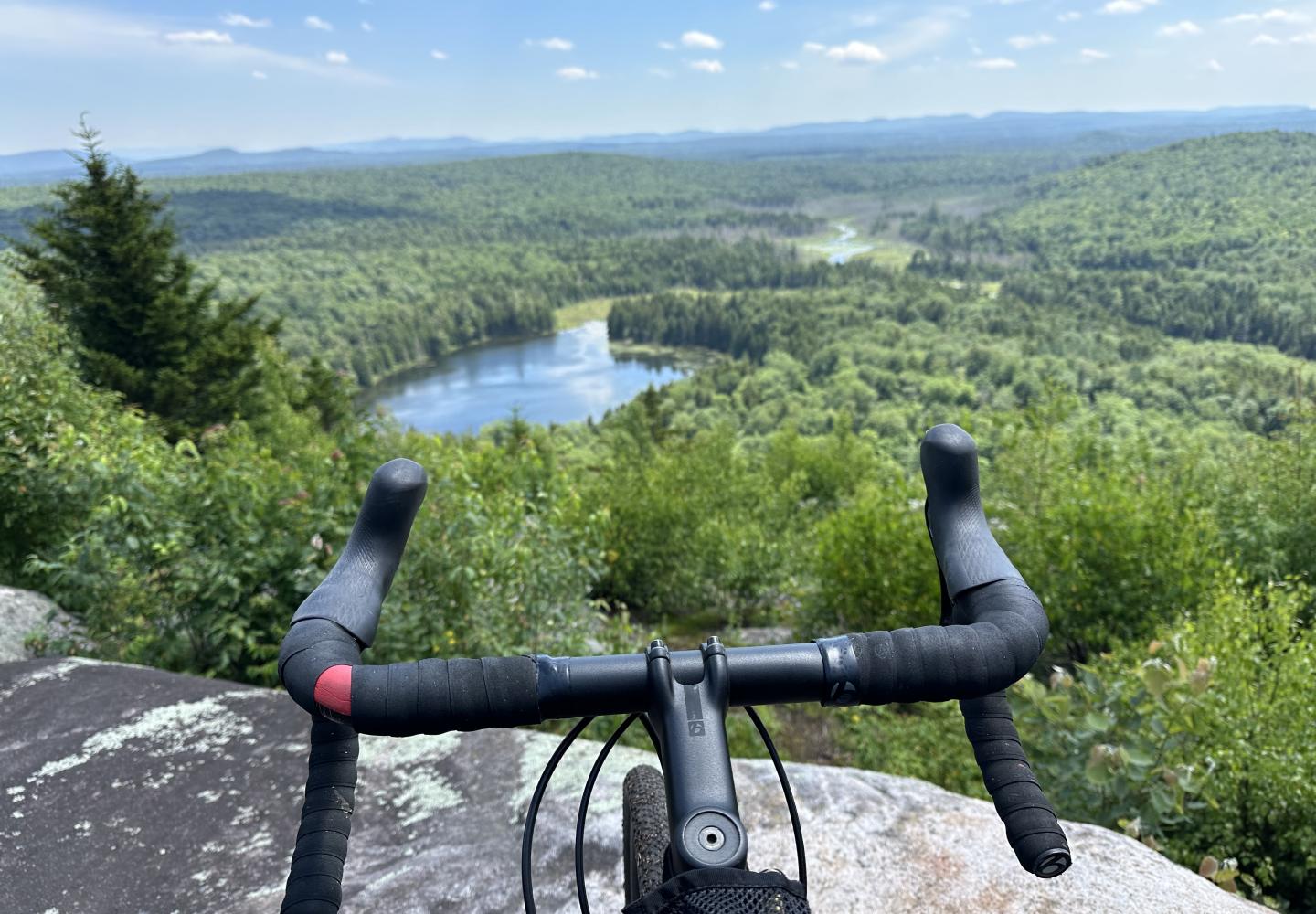
In the spring and summer, I scouted out gravel-bike rides on easement lands north of Cranberry Lake and felt I hit the jackpot. The Cranberry Forest, Grass River, and Long Pond tracts adjoin each other, creating many possibilities for tours on logging roads.
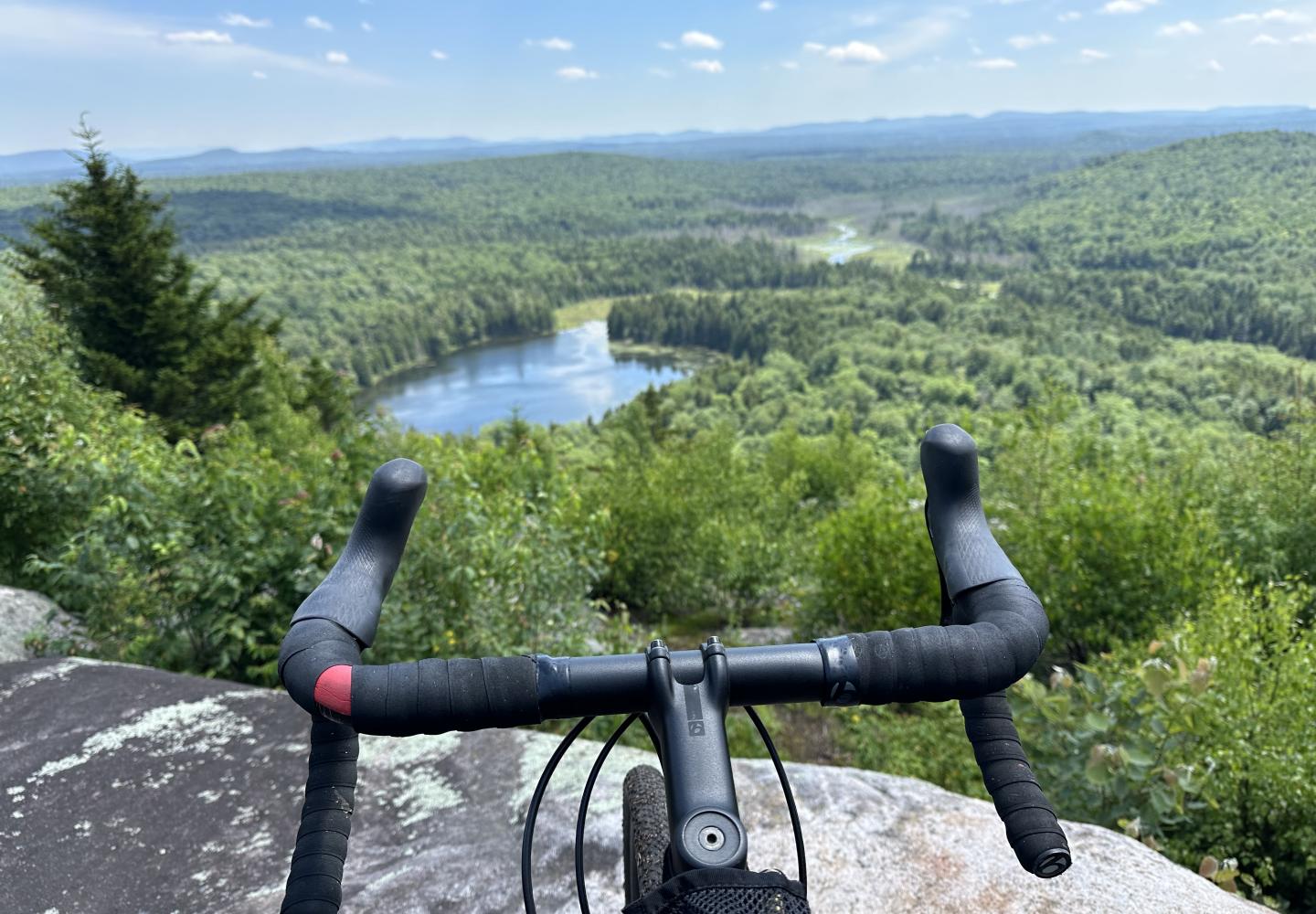
On my longest day, I rode a 44-mile loop on the Long Pond tract, including a detour up Little Blue Mountain, and saw not a bit of pavement. On another day, I did an eight-mile loop that twice crossed the South Branch of the Grass River.
I’ve only scratched the surface. I’ll continue to explore next year and come up with some riding suggestions.
Be aware that most logging roads do not appear on the National Geographic map for the region. You can find more detailed maps on the Conservation Easements page of the state Department of Environmental Conservation website. I also found the St. Lawrence County snowmobile map extremely helpful as snowmobile routes follow the logging roads.
The Conifier-Emporium easement, another large tract, lies east of Cranberry Lake. In the fall, I did a 17-mile ride with Doug Haney, the owner of Bike Adirondacks. Look for an article on this trip in a future column.
The biking season may be over for many of us, but there is a lot to look forward to.

