Old Rail Corridors Create New Routes
Abandoned rail corridors continue to be community connectors, by bike!
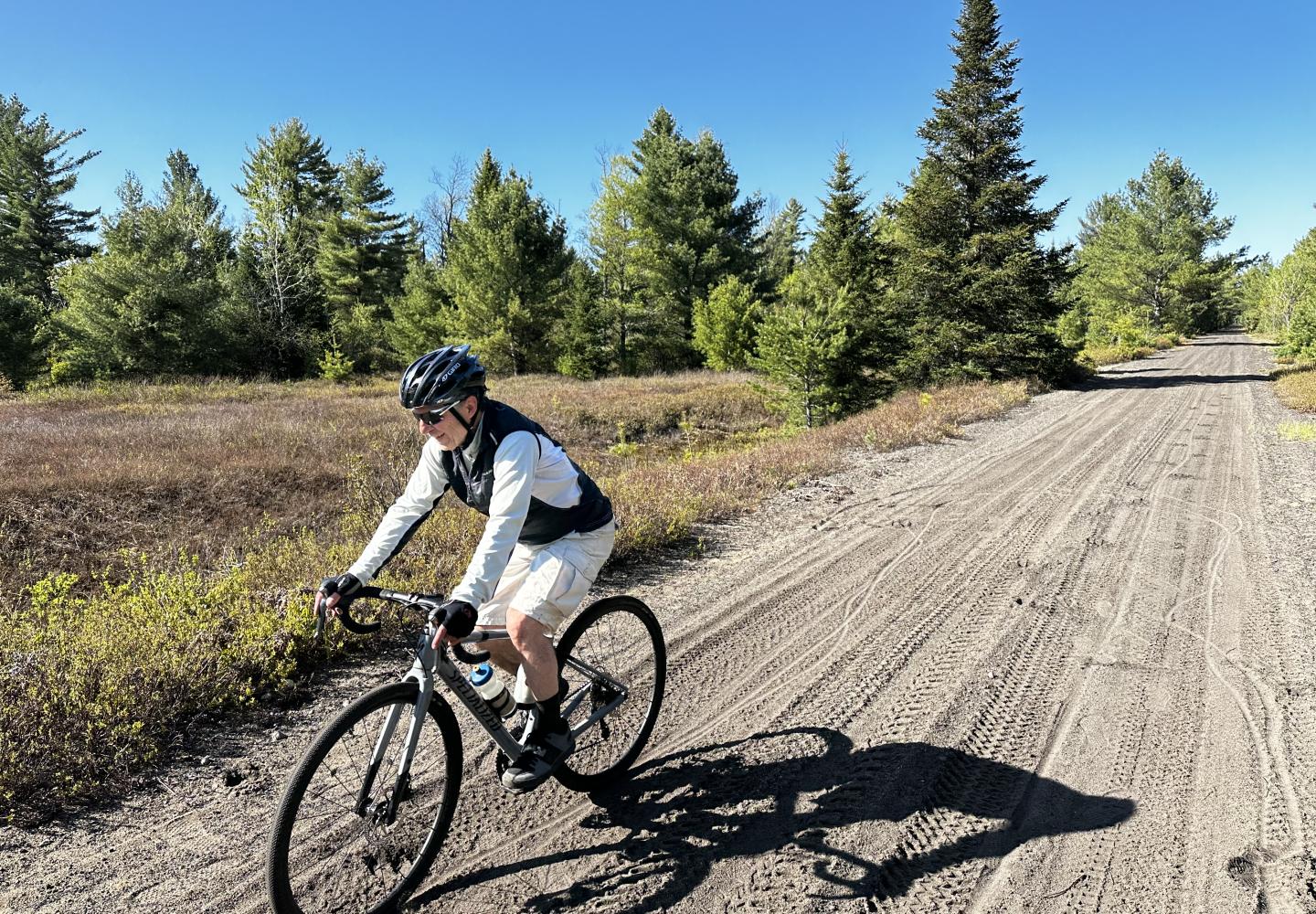
On a sunny day in late May, my friend Tim and I rode our gravel bikes almost 30 miles in a loop incorporating three old railroad corridors in the northern Adirondacks. We saw two beavers, several ducks, an osprey, a Canada jay, and very few cars.
The trip incorporates parts of a loop that I wrote about last year. The main advantage of this loop, apart from being a bit longer, is that it eliminates most of the road riding.
Less than three miles of our ride took place on pavement, mostly of the quiet kind. It would be possible to reduce the road travel to less than a mile by making use of a snowmobile trail that connects two of the rail corridors. I’ll explain how later, but that option has drawbacks.
Now for some good news/bad news.
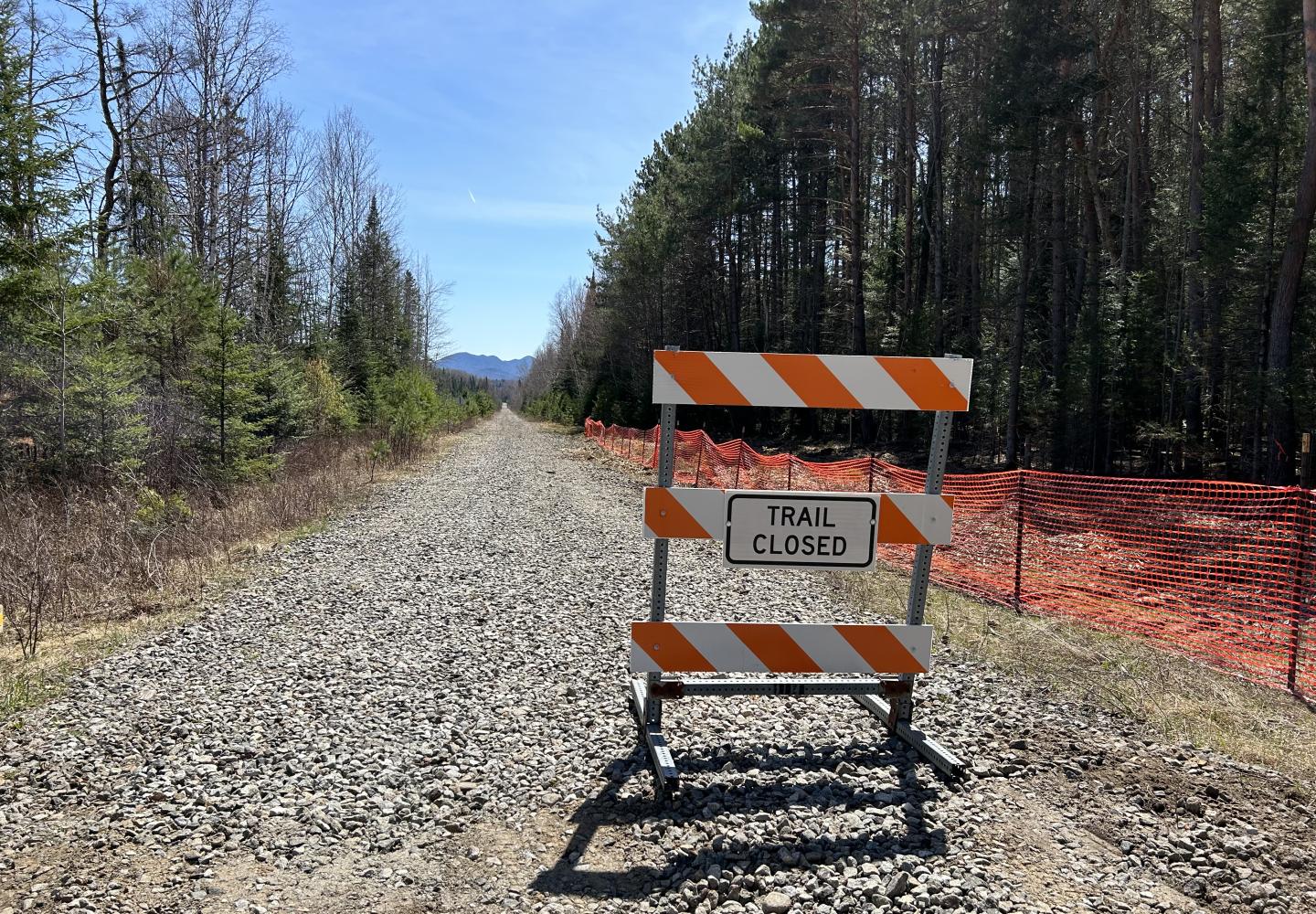
The good news is that work on the Adirondack Rail Trail is proceeding smoothly. Phase 1 between Lake Placid and Saranac Lake should be finished this fall. A week after our ride, the Department of Environmental Conservation announced that work on Phase 2 between Saranac Lake and Floodwood Road will begin begin in mid-June.
The bad news is that when the Phase 2 work is underway, the loop described in this article will not be possible. To do it, you’ll have to wait until it’s finished, which is scheduled for next year, but at this pace it may be sooner. However, I also will suggest a variation that relies more on roads, avoiding the Adirondack Rail Trail.
We started at the Bloomingdale Bog trailhead off Route 86 outside the village of Saranac Lake. The bog trail follows the bed of the Chateaugay Railroad, which once extended from Plattsburgh to Saranac Lake. The corridor is now a popular destination for hikers, dog walkers, birders, and (less often) bikers.
As I noted in a previous article, most of the bog trail is eminently suitable for gravel bikes, but large roots in one section are tricky to navigate. Tim and I, however, encountered a new obstacle: rocks have been deposited in a section of trail prone to flooding. We had to walk our bikes over the rocks.
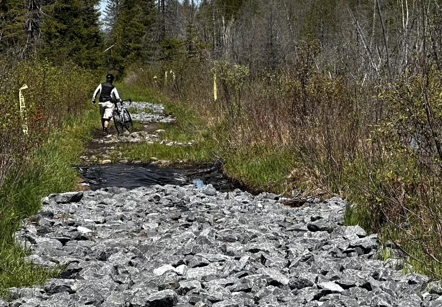
Once past the rocks, we enjoyed easy riding through the beautiful bog until reaching the big roots. We stayed on our bikes, but we now had to concentrate on the trail rather than scenery. At 2.9 miles, we reached a wooden bridge over Two Bridge Brook, which winds past alders and tussock swamp--one of the scenic highlights of the bog trail.
A little past the bridge we observed a Canada jay observing us from a perch in a spruce tree. As its name suggests, this species is common in Canada, but in the Adirondacks the Canada jay lives only on high summits and in lowland boreal habitat. It formerly had been known as the gray jay.
At 3.8 miles, we came to County Route 55. On our previous loop (which I also did with Tim), we turned left onto the road. This time we crossed the road and continued north on the bog trail. In a quarter-mile, we came to a wetland with a view of Whiteface Mountain to the east. At 4.2 miles, we crossed John Thomas Brook, recently renamed in honor of a 19th-century African-American settler (thanks to the efforts of Curt Stager, a professor at Paul Smiths College).
Continuing north, we traversed a beautiful evergreen forest and passed a large beaver pond as well as several wetlands. We also crossed John Thomas Brook again, where I told Tim the story of my quixotic attempt to paddle the brook (I almost destroyed my carbon-fiber canoe). Though the scenery was impressive, parts of the trail were so sandy that it was hard to gain traction. In one spot, the sand was so deep we had to dismount.
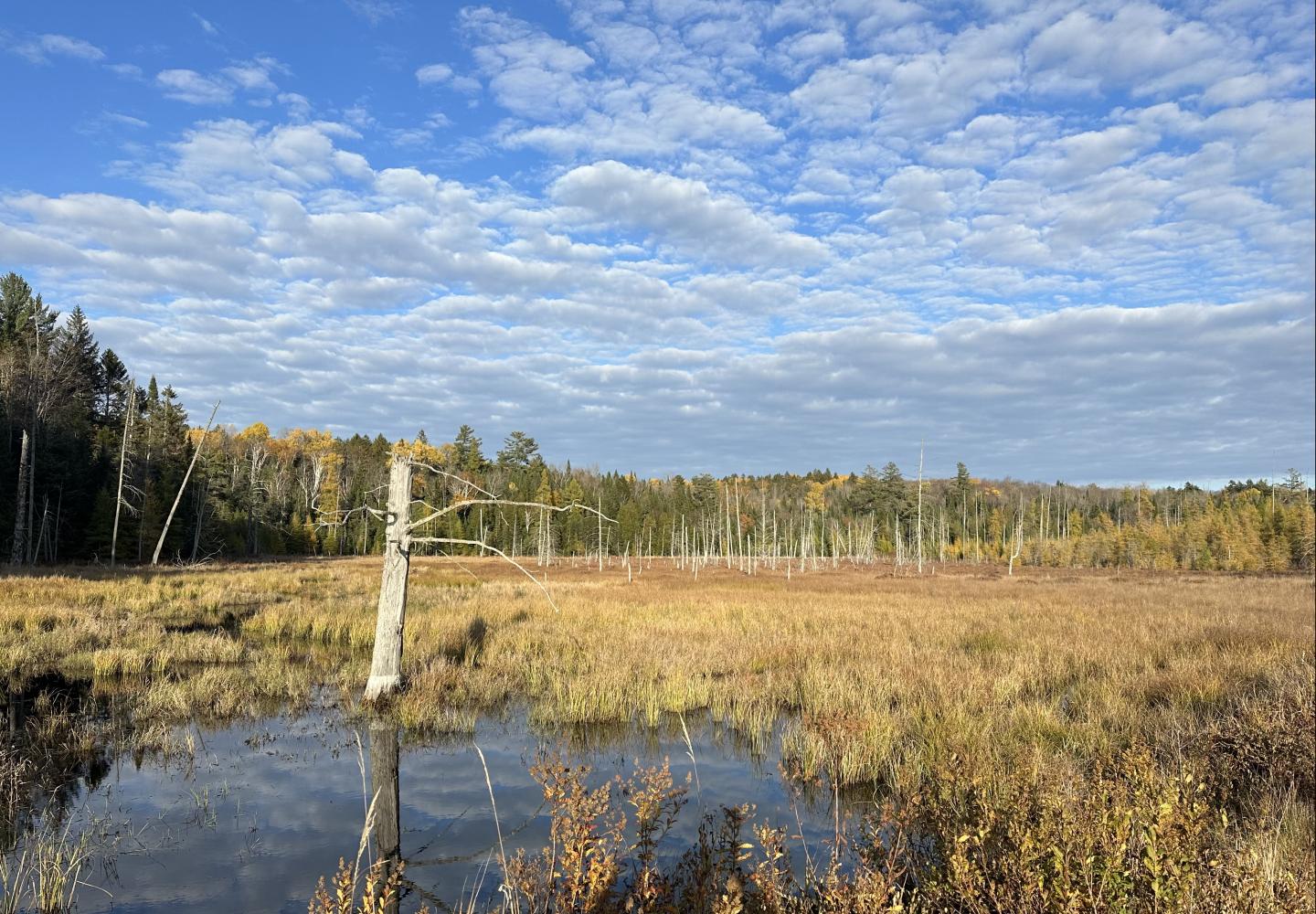
At 7.8 miles, we crossed Oregon Plains Road and continued a few miles to the trail’s end at County Route 60, near the entrance to Buck Pond State Campground. We turned left, following the road a quarter-mile to a junction near a small store in Onchiota. At the junction we angled right, crossing the Kushaqua-Mud Pond Road, went a short distance up Yemasee Lodge Road and turned left onto the former rail bed of the New York Central Railroad, which is now a power-line corridor.
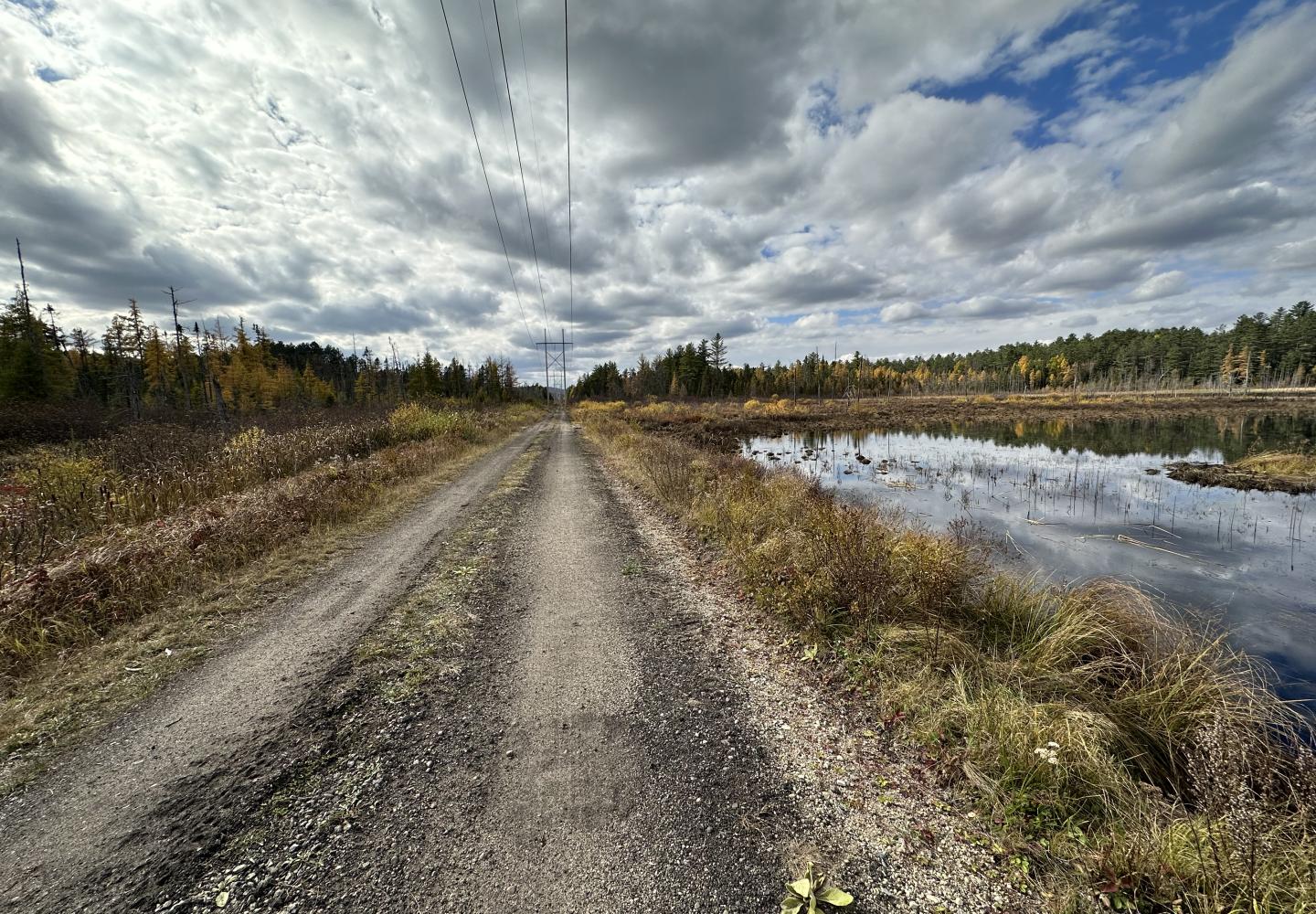
In a mile, we came to a large beaver pond where Tim spotted an osprey nest on top of a utility pole. The bird flew away as we approached. We wondered whether it left to hunt fish or to distract our attention from its nest. The latter hypothesis gained credibility when the osprey returned to the nest as soon as we continued on our way.
In another mile, we had our next wildlife encounter. Two beavers emerged from a bay of Rainbow Lake and disappeared into a bog along the shoreline.
Over the next 3.6 miles, we crossed several local roads and struggled through some sandy sections before reaching Route 86 in Gabriels. This was the least appealing part of the loop. From Gabriels we continued on the New York Central corridor another five miles to Charlie’s Inn in Lake Clear. The riding was very good and often scenic. Near one boggy area, we saw fresh moose tracks.
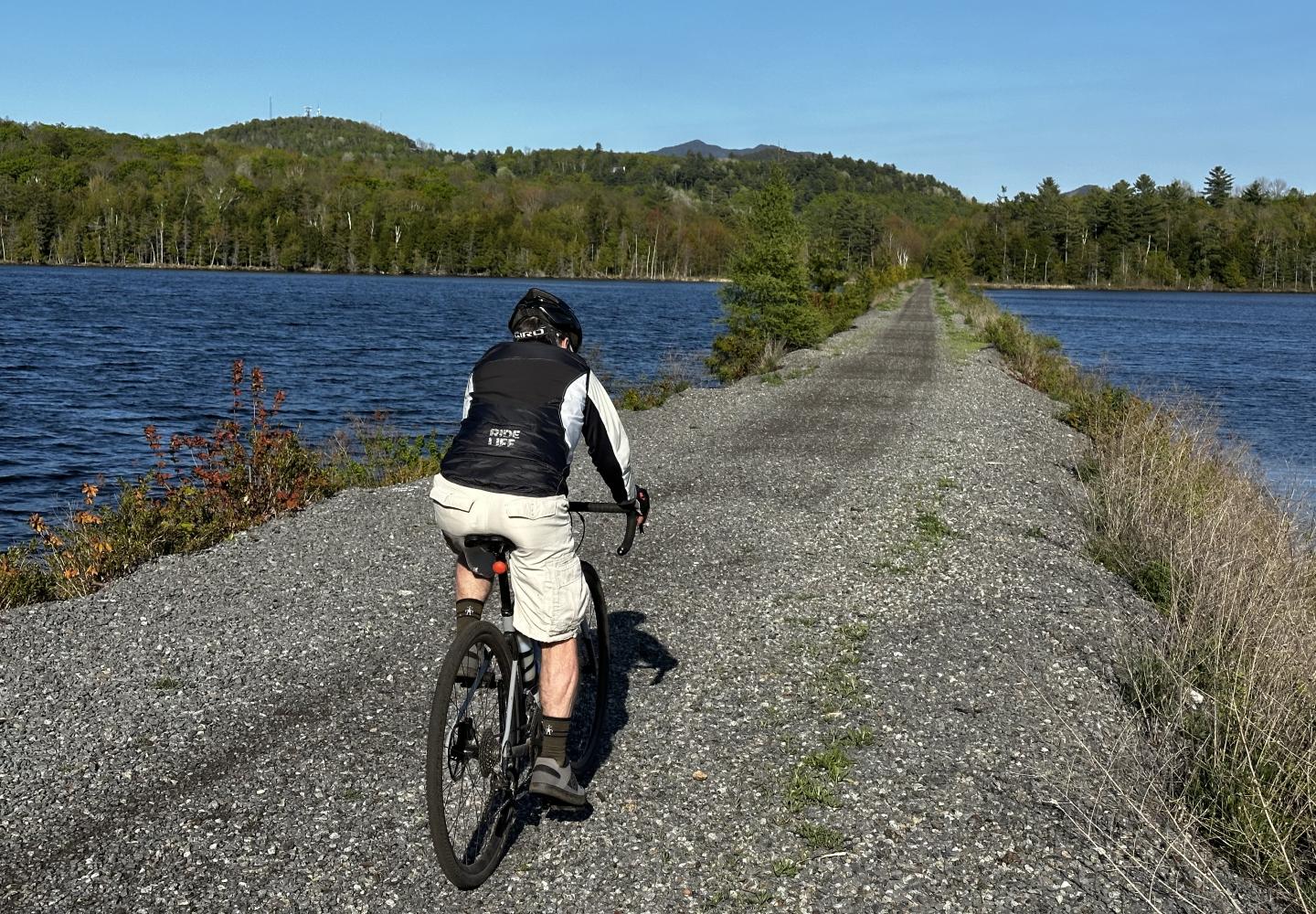
At Charlie’s, we turned left to get on the corridor of Adirondack Rail Trail, which we followed six miles back to Saranac Lake. We had only two road crossings: Route 186, near Charlie’s Inn, and McMaster Road. The scenic highlights included McCauley Pond, beaver wetlands, and the causeway bisecting Lake Colby. This unimproved dirt surface of this part of the corridor was firm enough for gravel bikes, but when the Phase 2 work is done, the trail will be surfaced with packed stone dust, and the ride should be even better.
Upon reaching the village, we finished the loop on roads. We turned left onto busy Route 86, but in just a tenth of a mile, we veered right onto Old Lake Colby Road, a quiet side street. We took this about a mile to its end. We then crossed Route 86 and followed another side street for a half-mile. It, too, returned us to Route 86. We then rode along the highway for 0.4 miles back to our car.
Route 86 was the only busy road we traveled, and we were on it for only a half-mile or so. It is possible to avoid it entirely. About 2.5 miles before reaching Saranac Lake, we passed a snowmobile trail that leads from the Adirondack Rail Trail to the bog trail. It’s not suitable for gravel bikes, owing to hills and rocks. It’d be tough even on a mountain bike. Nevertheless, it’s an option if you don’t mind walking your bike much of the way.
The state has hired Rifenburg Construction to construct Phase 2 of the rail trail. The 15-mile section includes the stretch Tim and I rode from Charlie’s Inn. Once this part of the corridor is closed, you can ride Forest Home Road back to Saranac Lake. This quiet road is popular with local bikers, but it has some hills.
Here’s how to do it: After leaving Charlie’s, turn left (south) on Route 30 and go a short distance to a T-intersection. Turn right and go west on Route 30 for about three miles. Look for the start of Forest Home Road on the left. Take Forest Home Road about eight miles to its end. Turn left onto Ampersand Avenue and take this about 0.75 miles to Route 86. A left turn here soon brings you to a rail-trail crossing. Then follow the directions described earlier to get back to your car. It’s a worthy alternative until the Phase 2 work is finished.
Stay in the Rail Trail Know
Subscribe to our FREE e-newsletter - the Adirondack Gearzette - which hits inboxes the first week of every month.
