A Mellow Gravel Ride
Looking for a easy to moderate gravel alternative to the Adirondack Rail Trail without a lot of climbing. Phil Brown did the research on this dandy just outside of Saranac Lake.
A few days after a mountain-bike accident, I wanted to find a mellow gravel-bike ride that wouldn’t put too much stress on my bruised quad. So one afternoon I drove to Gabriels, north of Saranac Lake, and embarked on a 10-mile trip with no strenuous climbing.
I enjoyed the Gabriels Loop so much that I’ll recommend it to anyone living or vacationing in the Saranac Lake area who is looking for a short ride that’s mostly off road. Without the two detours I made (one a mistake), the loop is 8.1 miles with 250 feet of ascent.
Despite its shortness, the loop packs in a lot of variety and demonstrates the versatility of gravel bikes. You’ll ride on four types of surface, in order: old rail bed (2.7 miles), logging roads (2.7 miles), foot trail (1.1 miles), and paved roads (1.5 miles). Plus a tenth of a mile on a gravel road at the end.
In my description of the route that follows, I subtracted the mileage of my two detours. Cumulative mileage appears in parentheses. Be aware that the mileage calculated by other GPS devices may differ from my figures.

Railroad Bed
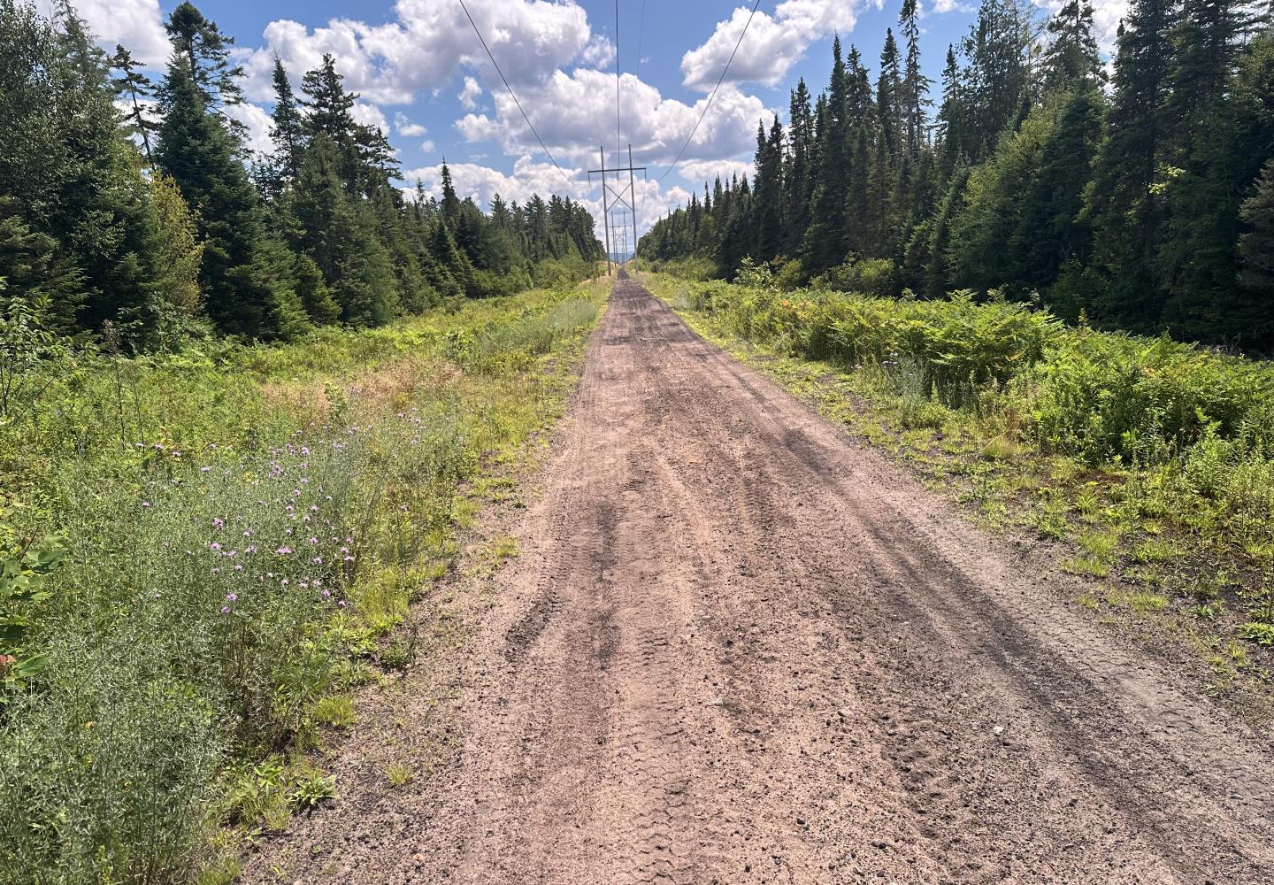
I started near the National Grid electric station in Gabriels and cycled southwest on the old D&H rail corridor (toward Charlie’s Inn in Lake Clear). Overall, the rail bed is fine for biking, but there are sandy and eroded sections in the first mile and a half.
At 1.5 miles, I came to a junction and turned left to explore a side road. I went only a quarter-mile or so before turning around as it was too sandy for a gravel bike. If you have a fat bike, you might want to explore further.
Beyond the junction, the old rail bed is firmer, with a surface of dirt and cinders. It runs through a shady corridor of trees. At 2.0 miles, you pass a pond on the right and then a short spur on the left that leads to the Lake Clear airfield (which is fenced). At 2.7 miles, look for an obvious dirt road on the right and make the turn.

Logging Roads
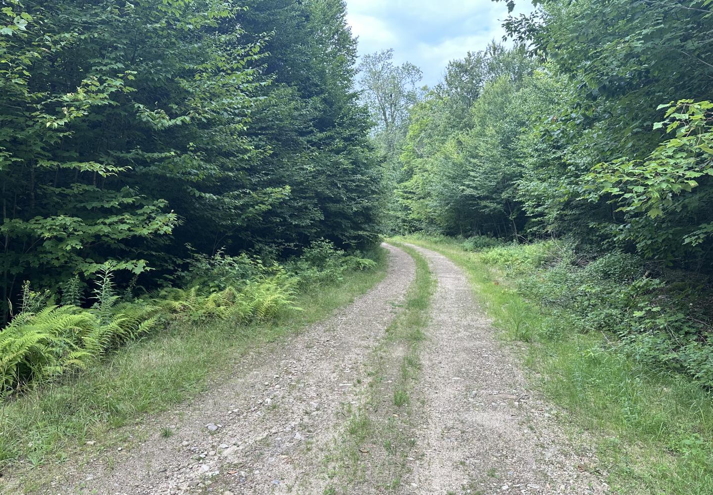
For the next 2.7 miles, I followed two good logging roads on land owned by Paul Smith’s College. Thanks to a conservation easement, the public is allowed on the property.
Take the first road 1.5 miles to a T-intersection (4.2 miles), passing one junction where you go straight. At the T, turn right and go 1.2 miles to the Jackrabbit Trail on the right (5.4 miles).
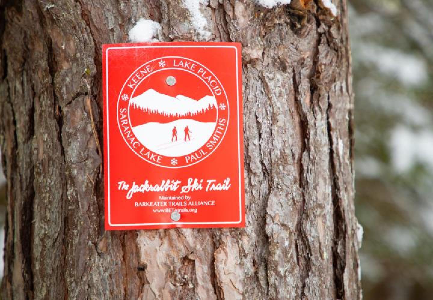
The start of trail is inconspicuous, and its small red sign is set back in the woods (you many spot similar signs along the logging road). Because the trail begins at the bottom of a hill, it’s easy to whiz right past it. That’s what I did. I continued on the logging road to its end--about a half-mile farther along--before turning around. So others won’t make the same mistake, I made a note of the trail’s GPS coordinates:
44.421744° N, 74.210927° W

Jackrabbit Trail
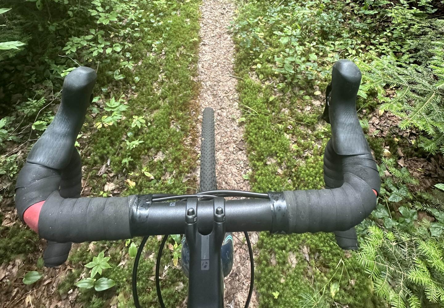
A ski trail in winter, the Jackrabbit can be biked in other seasons. It’s easy on a mountain bike, a bit harder on a gravel bike. Leaving the logging road, the trail is narrow at first with a few small rocks and roots to contend with. In about a quarter-mile, you come to a short but steep dip with corduroy logs at the bottom. This is the only technical challenge. If you aren’t feeling confident, walk the bike.
As you continue, the trail gets smoother and wider. You may have to lift the bike over a few fallen trees. After 1.2 miles, soon after crossing under power lines, the Jackrabbit reaches a nameless access road (6.5 miles).

Paved roads
As a gravel (or mountain) biker, you might not like riding on pavement, but the finish to this ride is a delight. At the access road, turn right and pedal a short distance to NY 86. From here, the mile and a half back to Gabriels is almost all downhill and on a wide shoulder. It’ll be over in five to 10 minutes. Just past the driveway for NOLS Northeast, turn right (at 8.1 miles) and go up the gravel road that leads to the power station.
An experienced biker who knows the route could do the loop in an hour or so. But what’s the hurry? Take your time, stop for photos, bring a snack, listen to the birds, and enjoy the solitude you’re likely to find. And if you’re driving back to Saranac Lake, feel free to stop at Donnelly’s to enjoy an ice-cream cone and one heck of a view.
DIRECTIONS: From Saranac Lake, drive north on NY 86 past Donnelly’s Corners to Gabriels. Just past the junction with County 60, you’ll pass the old D&H railroad bed. Just past this, turn left on a short gravel road that leads to the National Grid station. There is ample room to park near the railroad bed. 44.431804° N, 74.184153° W
