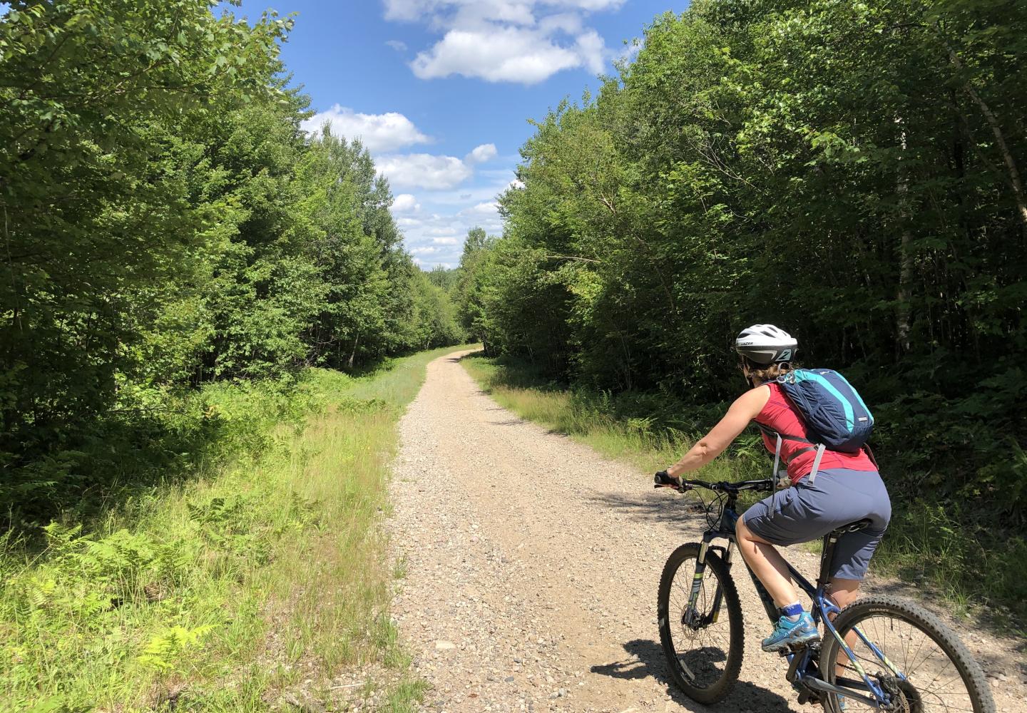
Exploring the Sable Highlands
If there's one thing we know, it's that there is still so much of the Adirondacks that hasn't been explored by bike.
Guest blog by Phil Brown
In the early months of the Covid pandemic, I social-distanced by exploring the Sable Highlands easement lands in the northern Adirondacks. I traveled mostly by mountain bike. In all, I rode about 175 miles on the region’s logging roads.
My favorite ride was a 17-mile circuit that I call the Liberty Road Loop. I did it twice in 2020, first by myself, then with my girlfriend, Carol. This October I rode the loop again, this time with my neighbor Tim Peartree, an enthusiastic cyclist. If you like getting away from traffic, put this on your to-do list for next year.
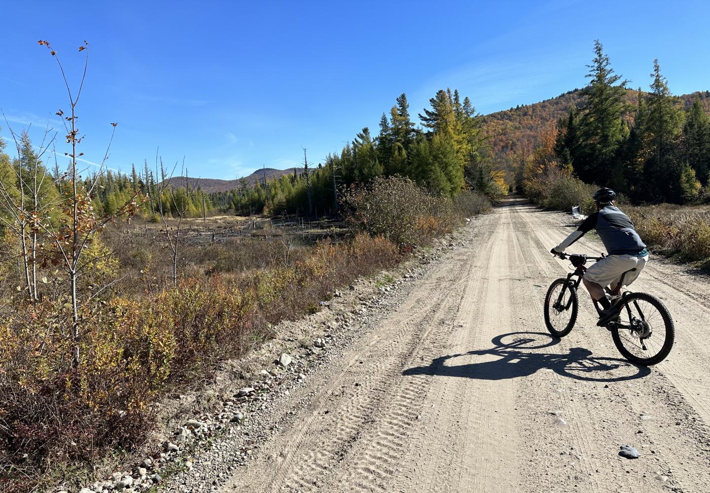
The Sable Highlands are located east of Loon Lake, about a half-hour drive from Saranac Lake, where Tim and I live. The region comprises vast tracts of commercial timberlands governed by a conservation easement owned by the state. The easement allows public recreation in 14 Public Use Areas. Outside the PUAs, much of the land is leased to hunting clubs and so access is restricted to Linear Recreation Corridors--that is, designated roads and trails. The Liberty Road Loop makes use of three LRCs: Liberty Road, Wolf Pond Mountain Road, and the D&H Road.
Although a gravel bike would be suitable for most of the route, the harder sections--especially the rocky, bone-jarring descents--call for a mountain bike. Also, a mountain bike provides better traction for ascents with loose sand or gravel.
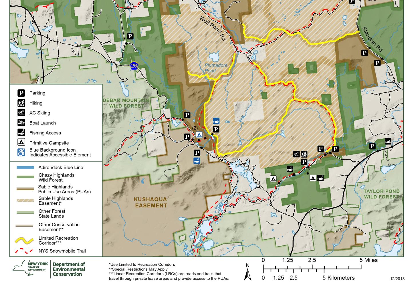
The Sable Highlands region can be found on National Geographic’s Saranac/Paul Smiths map, but it doesn’t show all the logging roads in the bike route. Nor does the USGS topo map. Though, I was able to find a Department of Environmental Conservation map that shows LRCs as yellow lines. The bike route is the obvious loop with a small gap (where the route crosses land not covered by the easement). The map is not detailed enough for navigation, but if you follow my directions, you shouldn’t get lost.
To reach the trailhead from State Route 3, drive north on County Route 26 for 6.2 miles, passing Loon Lake, and turn right onto a dirt road. Follow the road a short distance to a junction. Turn left and go 1.25 miles to a parking area on the left near a kiosk at Fishhole Pond.
Once Tim and I saddled up, we rode back to the junction, turned left and came to a gate at the start of Liberty Road, also known as LRC #8. In winter, it’s a snowmobile route. At a few intersections we would see arrows pointing the way for snowmobilers. These signs are helpful to bikers as well.
As soon as Tim and I started up Liberty Road, we come to the first hill. Most of the climbing in the bike route (about 1,100 feet, in all) came in the next three miles as we passed between the Elbow Range and Lookout Mountain. At 3.0 miles into the ride, after a few small hills, we faced a long, hard climb. The first time I did the loop, I had stopped to rest and take notes halfway up and was accosted by a man in a pickup truck--a member a hunting club--who questioned my right to be there. I informed him about the easement. He seemed skeptical, but we parted on friendly terms.
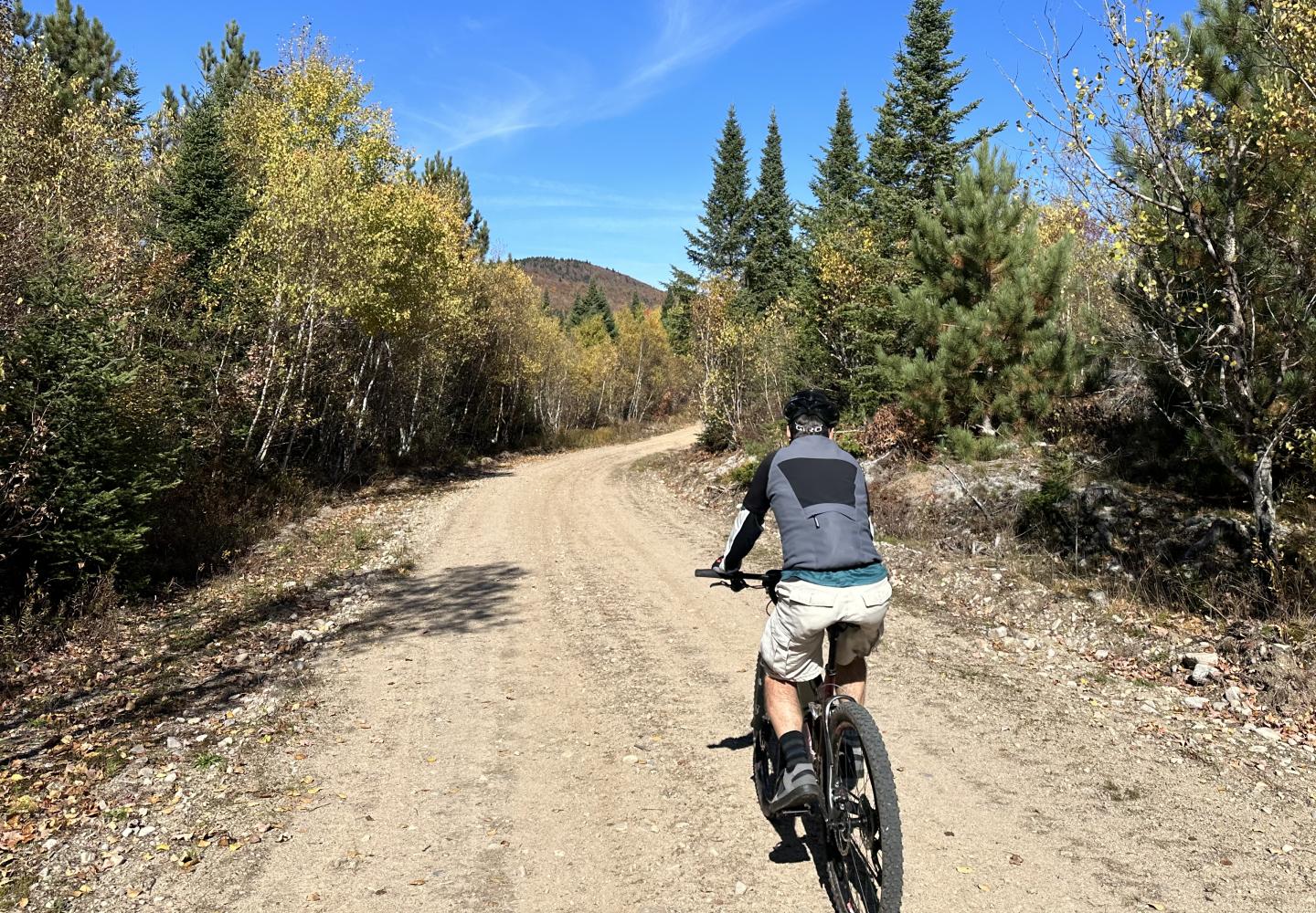
After climbing for about three-quarters of a mile, we enjoyed a mellow stretch of road and then began our first rocky descent. We were glad to have mountain bikes. “I was bouncing around like a pingpong ball back there,” Tim remarked when we reached level ground.
At 6.85 miles, we came to a junction with Wolf Pond Mountain Road, also known as LRC #7. Liberty Road continues straight here, but we turned left onto LRC #7. At roughly 8.5 miles, we began a much longer descent, just as rocky as the first.
“Quite a ride!” I exclaimed when we reached the bottom.
“We’re lucky we didn’t lose a filling,” Tim replied.
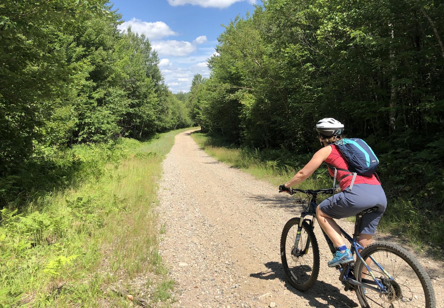
Shortly after, we passed the start of another logging road (Salmon River Road) on the left. We kept going straight and reached a T-intersection at 11.3 miles. This is a town road called Wolf Pond Road, not be confused with Wolf Pond Mountain Road. Turning left, we crossed the Salmon River and stopped for a short break. The Salmon, which rises in the Elbow Range and flows to the St. Lawrence, is just a pretty stream here, bordered by alders.
At 11.9 miles, we turned left onto the D&H Road (LRC #9). This level, well-maintained logging road was the perfect ending to the trip. Over the next five miles, we relaxed and enjoyed the sights.
The ride took about three hours. It was a good workout, with tough climbs, technical descents, and a mix of road conditions: smooth dirt, sand, loose stones, big rocks. The scenery also was varied. We saw wetlands, streams, and mountains but also the scars of logging. The last might not be pretty, but it’s educational to see a working forest. And if not for logging, our bike route would not exist.


