Endless ADK Rail Trail Connections
Sure, riding the 34-mile Adirondack Rail Trail end-to-end will be fun, but imagine all the route possibilities that will pop up in between. We are!
Guest blog by Phil Brown
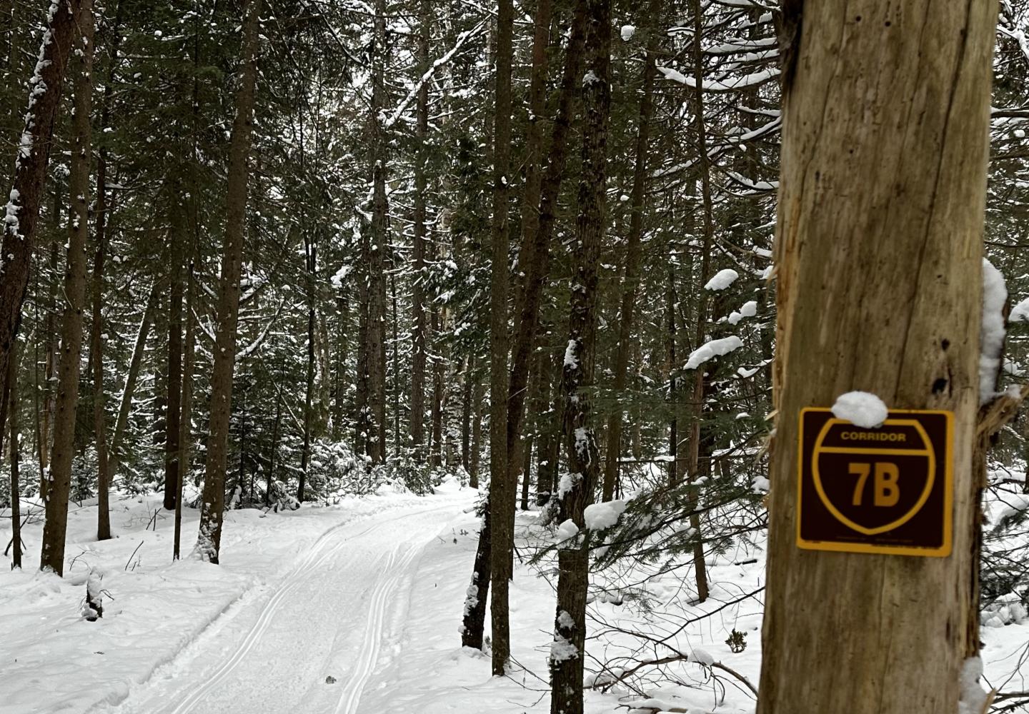
The other day I skied from Route 86 to the 34-mile corridor of the Adirondack Rail Trail near Saranac Lake. It was about five miles round-trip. You might wonder what this has to do with biking, but there is a connection.
The route I skied is Corridor 7B, a snowmobile trail that connects the rail trail to the Bloomingdale Bog Trail, which is an old rail bed. The bog trail, in turn, connects to Corridor 7C, another old rail bed that can be taken southwest to Lake Clear, where you can pick up the Adirondack Rail Trail.
These three rail trails form a rough triangle that can be ridden on a gravel bike. The one hitch is that the trail I skied is out of character with the rest of the otherwise smooth ride. It is hilly and, in places, rocky.
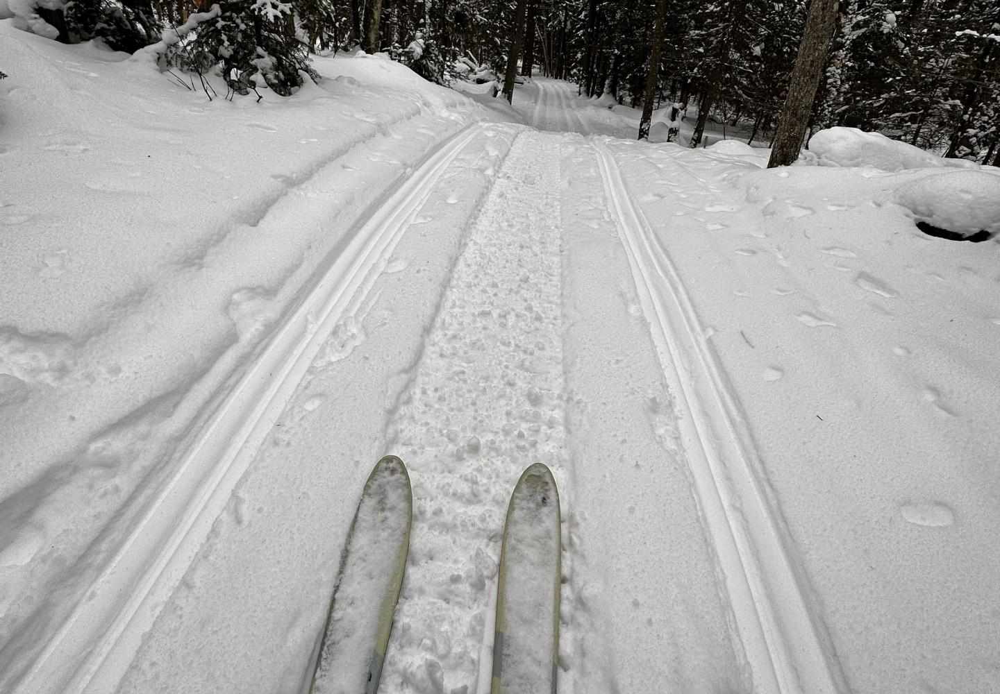
Wouldn’t it be great if the state Department of Environmental Conservation modified the trail to accommodate gravel bikes? You could then start at the Bloomingdale Bog trailhead and ride a 27-mile loop almost entirely off road. You’d be on pavement only for 1.85 miles in rural Onchiota.
I doubt this will happen. The hilly terrain may make it impractical or too expensive to modify (or reroute) the trail for gravel bikes. Thus, riders are left with two options:
- Continue on the Adirondack Rail Trail to the village of Saranac Lake. From there it’s a relatively short ride back to the Bloomingdale Bog trailhead. Most of this can be done on side roads.
- Regardless of the difficulty, take 7B back to the trailhead. When I did the loop last fall, I was able to ride parts of the trail, but I also did a lot of bike pushing.
However you connect them, these three old rail beds provide many opportunities for long-distance gravel grinders. My 27-mile loop is just one possibility. Once you pick up Corridor 7C in Onchiota, you don’t have to ride to Lake Clear. You can go in the opposite direction toward Loon Lake and Mountain View. At various points along the corridor you can get on logging roads in the Sable Highlands or Kushaqua Tract easement lands.
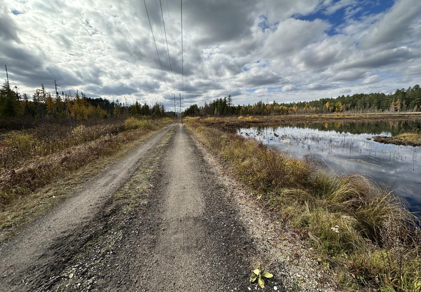
The point is that the Adirondack Rail Trail should not be viewed in isolation. Yes, it will be a great ride on its own, but it also will serve as nexus to other bike trails. Following are some of the possible connections:
Old Military Road. An old woods road (gated) leads from Old Military toward the rail trail. This woods road starts across from a triangular patch of Forest Preserve where the Barkeater Trails Alliance (BETA) intends to build a network of mountain-bike trails.
Haystack Mountain Trailhead. About a quarter-mile east of this large parking area on Route 86 is another gated woods road that leads to the rail trail. Ideally, DEC would build a bike trail along 86 to the woods road. If not, bikers could ride the short distance along the highway.
Fowlers Crossing. The rail trail crosses Route 86 just east of Saranac Lake. BETA has built mountain-bike trails in the vicinity and plans to construct more--all accessible via the rail trail.
Saranac Lake Bike Park. Saranac Lake Innovative Cycling Kids (SLICK) has constructed a bike park on the other side of Saranac Lake with a trail that connects to the rail trail.
Fish Pond Truck Trail. DEC does not allow bikes in the St. Regis Canoe Area, with one exception: the five-mile truck trail. This is easily reached from the rail trail.
Floodwood Trails. At the Floodwood Road crossing, riders can pedal east on this dirt road to access hiking trails suitable for mountain biking. BETA recently built a new bridge on one of the trails.
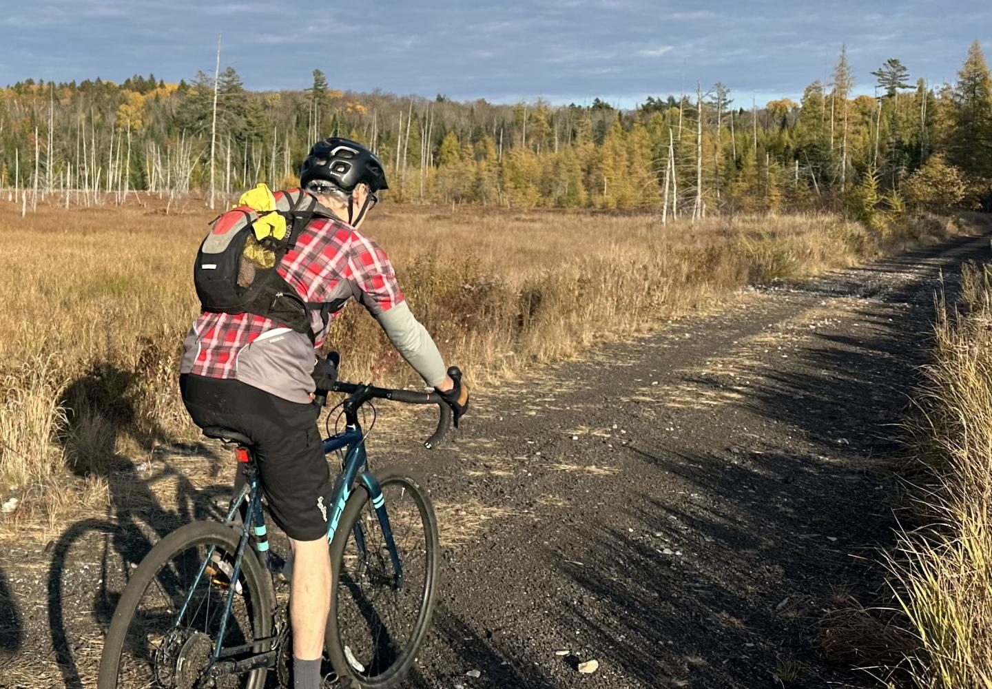
To make the most of the rail trail, DEC needs to provide signage to alert cyclists to all these connections.
I am especially looking forward to a long-distance mountain-bike trail that BETA wants to build around Scarface Mountain. Sometime in the future, mountain bikers should be able to hit up the trails off Military Road, ride to the rail trail, follow the Scarface trail around the mountain and back to the rail trail, and then continue to the Fowlers Crossing trails.
As for gravel bikes: if DEC doesn’t modify 7B as suggested above, the state should install conspicuous signage to show bikers the safest way to reach the Bloomingdale Bog Trail from Saranac Lake. Gravel biking is all the rage, and the state would be wise to capitalize on the trend.
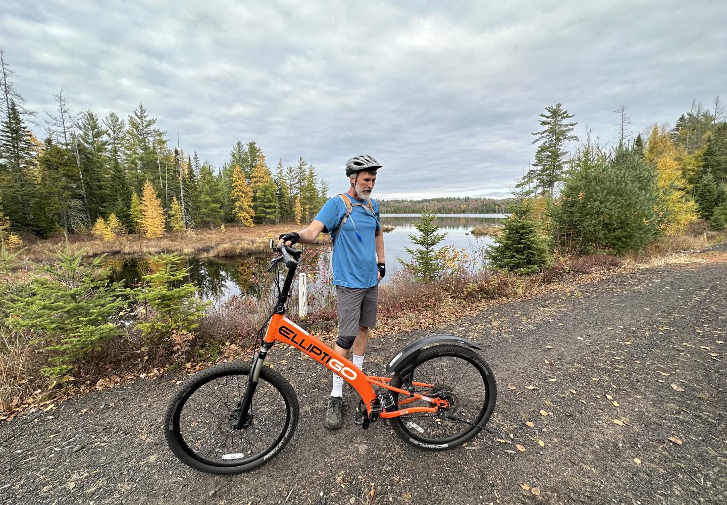
DEC has hired a contracting firm that will begin work this spring on the rail trail between Lake Placid and Saranac Lake. This 10-mile stretch will be closed during construction, but the rest of the trail will remain open to the public. The section between Lake Clear and Saranac Lake, though unfinished, is suitable for gravel bikes and mountain bikes. Thus, it will be possible to ride the 27-mile loop this year. If you don’t want to take your bike on Corridor 7B, you can return to the Bloomingdale Bog trailhead as follows:
Continue east on the rail trail past Lake Colby to Route 86 next to Kinney’s Pharmacy in Saranac Lake. Turn left on 86 and go a hundred yards or so to Old Colby Road on the right. Take Old Colby 1.2 miles to its end and turn left to reach an intersection with 86. Cross the highway and follow a short side road that loops back to 86. Turn left on 86. After about a half-mile, the Bloomingdale Bog trail will be on the right. Except for the last bit, the roads are quiet.
Incidentally, the downhills on 7B are fun to ski. I expect they also would be exciting on a fat bike in winter. However, the uphills would be tough. Any fat bikers up for the challenge?
