Empire State Trail Brings Access to the Adirondacks
The Empire State Trail will welcome new bicyclists to the Adirondack Park. Where, and how, they ride once they arrive. Well, that's the fun part. For most, that might include jumping off the trail.
by Phil Brown
A few years ago the New York Times published an excellent package of articles, with many scenic photos, about the Empire State Trail, a bike route that stretches from New York City to Albany and thence to either Buffalo or Canada, depending on your destination.
Kudos to state officials for recognizing the value of such a trail and for committing the time and money to make it a reality. That said, there are some problems with the Adirondack segment.
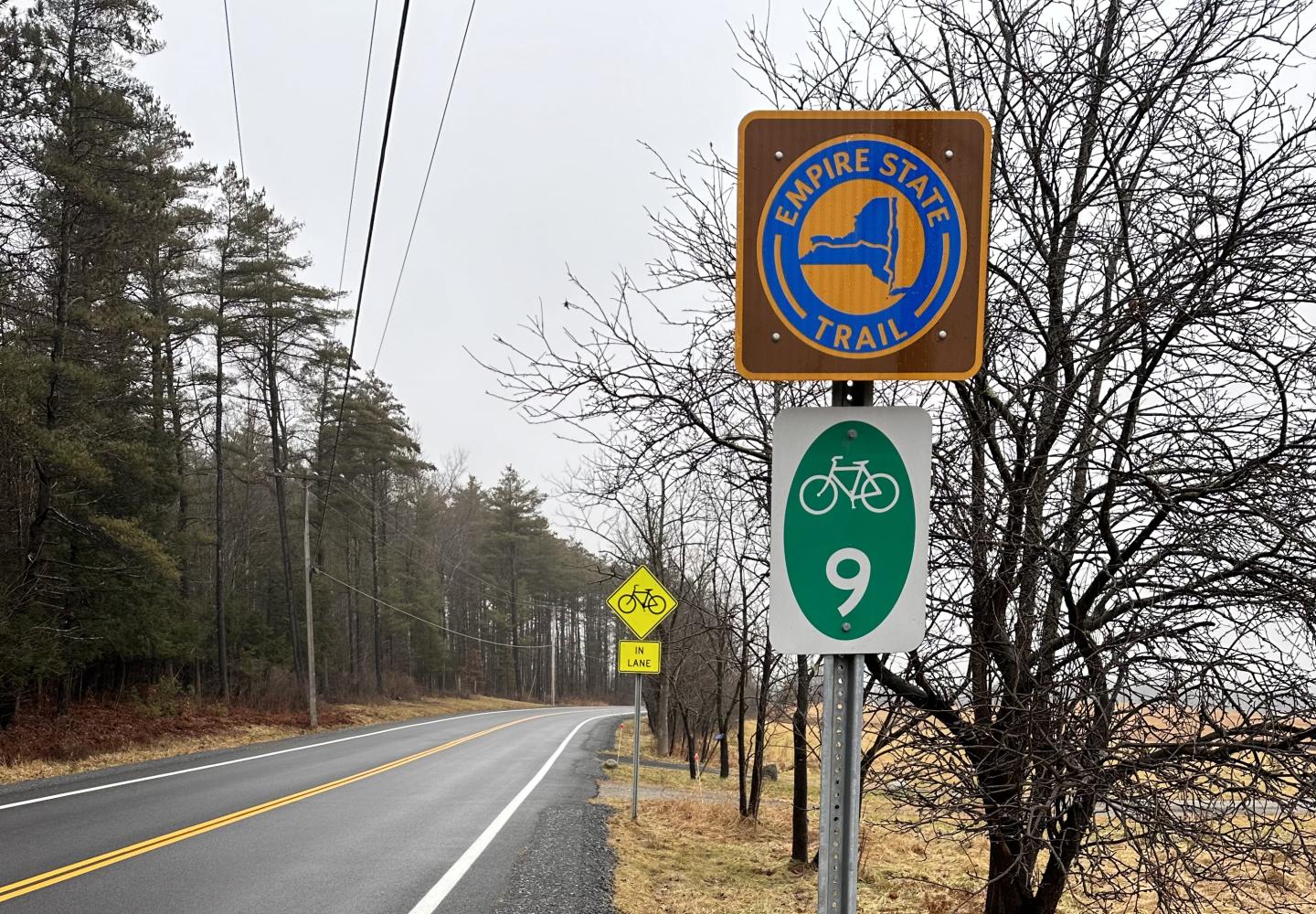
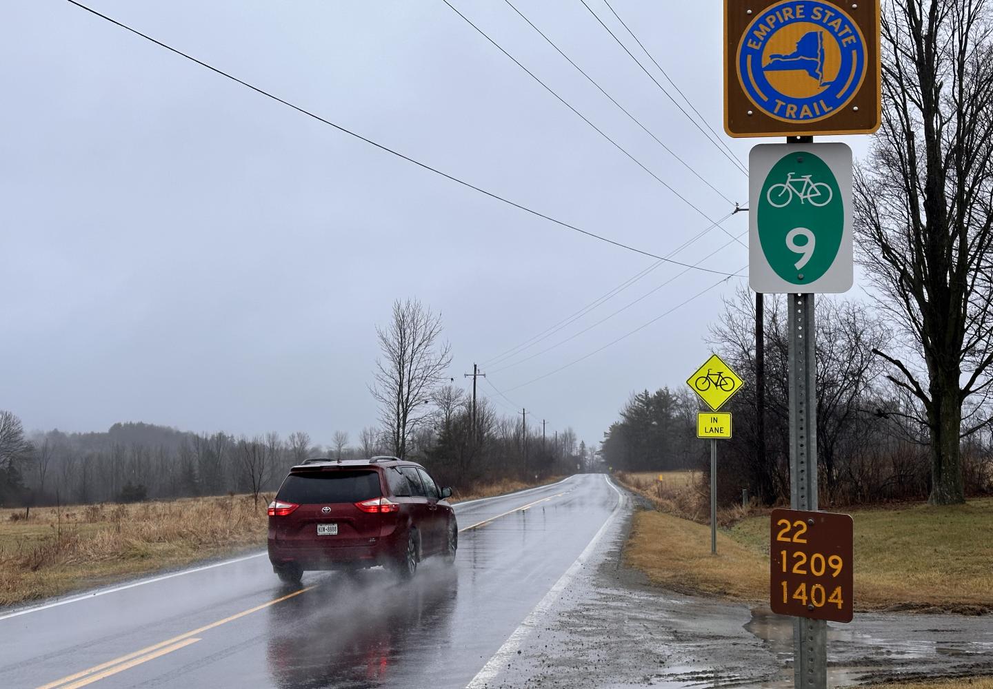
Within the Adirondack Park, the “trail” follows Route 22, a two-lane state highway that parallels Lake Champlain. In fact, almost all of the trail north of Albany follows highways.
The state has installed Empire State Trail signs along Route 22, but that hardly makes it a trail or even a desirable road-bike route. Having cycled short stretches of Route 22 and having driven, at one point or another, nearly all of it, I can’t imagine biking on its narrow shoulders for a hundred miles as cars and trucks whiz by at 55 miles an hour. It strikes me as not only unpleasant, but dangerous.
It’s no wonder that the Times writer, Jane Margolies, recommended avoiding the Adirondack section. She complained about skimpy, crumbling shoulders. “You have to have nerves of steel to cope with the noise and proximity of the trucks,” she wrote.
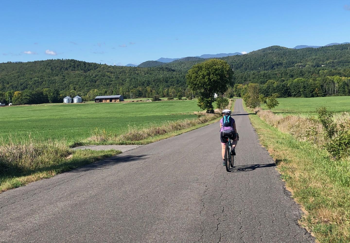
The Champlain Valley has many bucolic roads that are ideal for biking. No doubt a bike route could be pieced together that avoids much of Route 22. The downside is that such a route probably would entail many turns and might be hard to follow. The one virtue of Route 22 is its simplicity.
A better idea would be to convert the 90-mile rail corridor between Saratoga Springs and Newcomb into a trail suitable for biking. This would require the state to negotiate purchase or easement rights from the corridor’s three owners: the town of Corinth, Warren County, and the Open Space Institute. Admittedly, it’s not something that can be accomplished overnight.
Assuming the rail corridor can be transformed into a trail, two logistical questions remain. How would cyclists get from the existing Empire State Trail to Saratoga Springs? And where would they go once they reached Newcomb?
Getting to Saratoga
North of Albany, the Empire State Trail follows bike paths to Halfmoon, a town on the Hudson River, and then follows highways for the next 19 miles. Most of this on-road section would be avoided if cyclists left the existing trail in the small city of Mechanicville and took local streets a short distance to the Zim Smith Trail, an 11.5-mile bike path that ends in Ballston Spa, a village south of Saratoga Springs.
Saratoga County is planning to extend the Zim Smith Trail to Saratoga Spa State Park. If all goes well, construction of the new trail will begin next winter. From the park, cyclists could ride the Saratoga Greenbelt trails through the city to reach the southern end of the rail corridor (or close to it). Some of these trails exist, while others are in the works. From Saratoga Springs, cyclists could follow the rail trail all the way to Newcomb on the edge of the High Peaks Wilderness.
The rail line has not been used for freight for many years. The Saratoga, Corinth & Hudson Railway runs tourist trains on seven miles of track at the southern end of the corridor. Also, Revolution Rail offers rail-bike trips on short stretches of track. It might be possible to create a rail trail compatible with these commercial operations. If not, a 90-mile bike path through the Adirondacks, open to the public at no charge, would be a far better use of the scenic corridor, bringing long-distance cyclists to North Creek and other Adirondack communities, most of whom would be looking for places to eat and spend the night.
Whither from Newcomb?
The rail line dead-ends at an old mine in Tahawus, but cyclists would leave the trail a little before then. They could bike east to North Hudson and thence to the Champlain Valley or west to Long Lake and then north to Tupper Lake. I prefer the latter option for several reasons:
- Both Route 28N (to Long Lake) and Route 30 (to Tupper Lake) have wide shoulders and offer lots of mountain scenery.
- This route goes through the hamlet of Newcomb, where cyclists could pick up supplies, grab a bite to eat, and spend the night in an inn or a state campground.
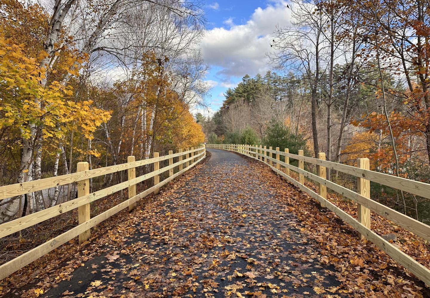
- Upon reaching Tupper Lake, cyclists could pick up the Adirondack Rail Trail, a 34-mile route that, when completed in 2025, will enable cyclists to ride off-road from Tupper to Lake Clear, Saranac Lake, and Lake Placid.
The Final Leg
Some might regard Lake Placid, a celebrated tourist destination, as a suitable terminus for the Empire State Trail, but I understand the desire to create a route that extends the full length of the state. Toward that end, the next question is how to get to Plattsburgh from the Adirondack Rail Trail. There are many possibilities, but here is one suggestion:
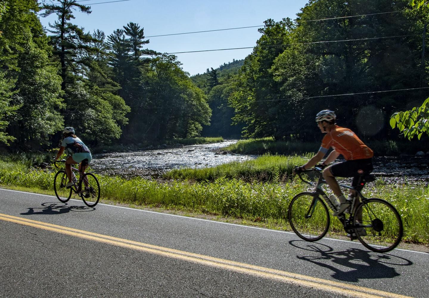
Cyclists could ride the rail trail to Lake Placid, follow Route 86 to Wilmington, and then take back roads to Plattsburgh. They would pass through Wilmington Notch on Route 86, which is both good and bad. Though it’s a scenic highway, hugging the West Branch of the Ausable River, the shoulders in this short stretch are narrow. Even so, the notch already is a popular cycling route. If it became part of the Empire State Trail, additional signage could alert drivers to the presence of cyclists.
Riding the many back roads between Wilmington and Plattsburgh might be seen as too complicated. If so, a simple route could be fashioned that would take cyclists from Wilmington to Clayburg, where the North Branch of the Saranac River meets the main branch. There, bikers would pick up Route 3 and head east.
However they get there, once in Plattsburgh, bikers would ride north 25 miles or so on the existing Empire State Trail, ending at Rouses Point on the Canadian border. Those wanting an even longer journey could cycle across the Champlain Islands and pick up the Cross Vermont Trail in Burlington.
Perhaps it’s pie in the sky, but I hope that someday people will be able to bike from Albany to Newcomb, in the heart of the Adirondacks, almost entirely on off-road trails. From there, they could continue pedaling to Lake Placid via the route described earlier. The route from Placid to Plattsburgh would need to be hashed out with input from the public.
Some might complain that this proposed bike route wanders too much. But is the purpose of the Empire State Trail to get to Rouses Point as quickly as possible? I see it as an advantage that this indirect route would allow cyclists to see Saratoga Springs, North Creek, remote stretches of the Hudson River, the High Peaks, and Lake Placid, the famed Olympic village. And still end at a quaint village on Lake Champlain.
It sure beats a nerve-racking ride on the crumbling shoulders of Route 22.
