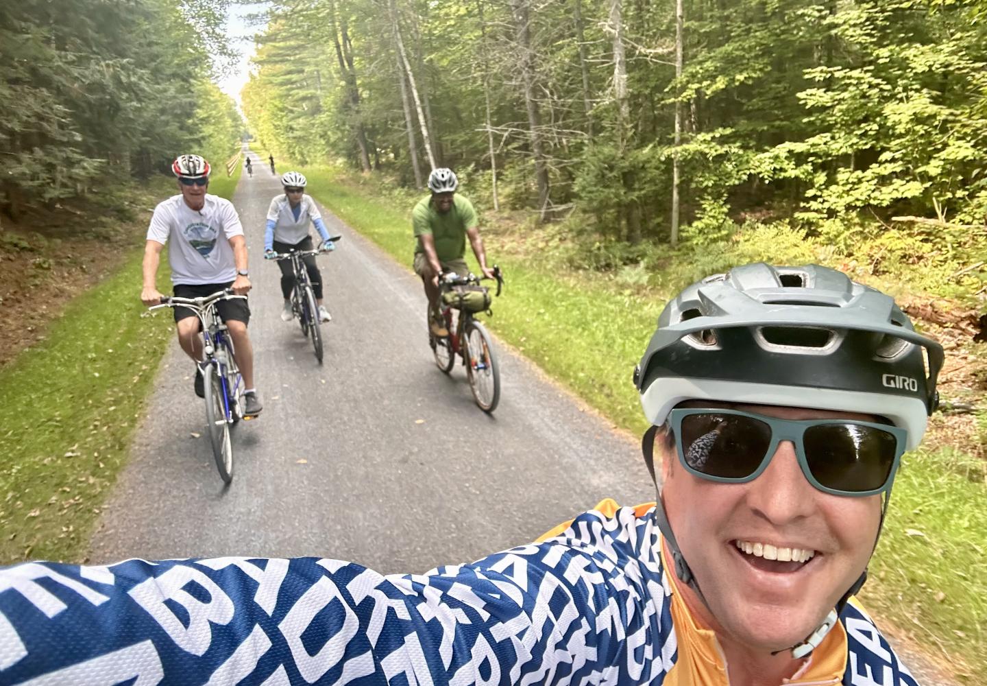
ADK Rail Trail Phase 2 Now Open
IT'S OFFICIAL! A total of 25.2 miles of the Adirondack Rail trail connecting Lake Placid to Floodwood Road in Lake Clear are now open. Of course, you can just pedal those, but why not link it with some other options. Here's one.
by Phil Brown
Now that Phase 2 of the Adirondack Rail Trail is officially open, cyclists may be wondering how to best enjoy this 15-mile segment, which runs from Saranac Lake to Floodwood Road.
You can always do a round trip, but I suggest a double loop that includes quiet local roads as well as the entirety of Phase 2.
On the Great Figure 8, as I call it, you bike 32 miles with 1,200 feet of climbing. More than half of the route is unpaved--on the stone-dust rail trail, a dirt road, or a rough woods road (less than a mile). It can be done on a gravel bike or typical road bike.
My friend Tim Peartree and I did the Great 8 in August after the “trail closed” signs were removed. We started at the former depot in Saranac Lake. If you want a longer ride, you could start at the Fowler’s Crossing parking lots on NY 86 on the eastern outskirts of the village. For a much longer ride, you could start in Lake Placid.
In the description that follows, mileage is cumulative unless otherwise indicated. Keep in mind that different GPS devices may not agree on mileage.
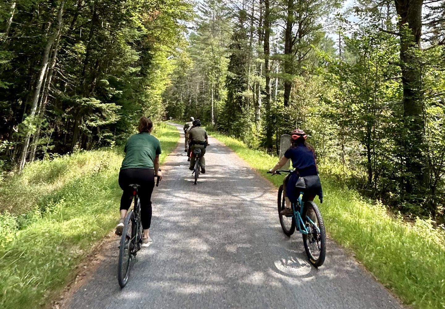
Stage 1: Forest Home Road
From the depot (which is under renovation), you need to get to Forest Home Road. This is the most complicated part of the trip. Bike west on the rail trail a few tenths of a mile to the first road, Cedar Street, and turn left. Turn left again onto NY 86, then make a quick right onto Ampersand Avenue. Follow Ampersand 0.7 miles to Forest Home and turn right. You’ve now gone about a mile from the depot.
Most of the climbing occurs over the next four miles. Local cyclists often climb Forest Home and turn around for a hair-raising descent. On this trip, however, you take the road roughly eight miles to its end. On the way you’ll pass Knollwood, the estate where Bob Marshall, the first Adirondack 46er, spent the summers of his youth. After passing McMaster Road (5.4 miles), you’ll enjoy some long but gradual downhills.
Forest Home ends at NY 30 at 9.15 miles. Cross the highway and go down Fish Hatchery Road for 0.4 miles to Station Street. Turn right and get on the rail trail at 9.65 miles.
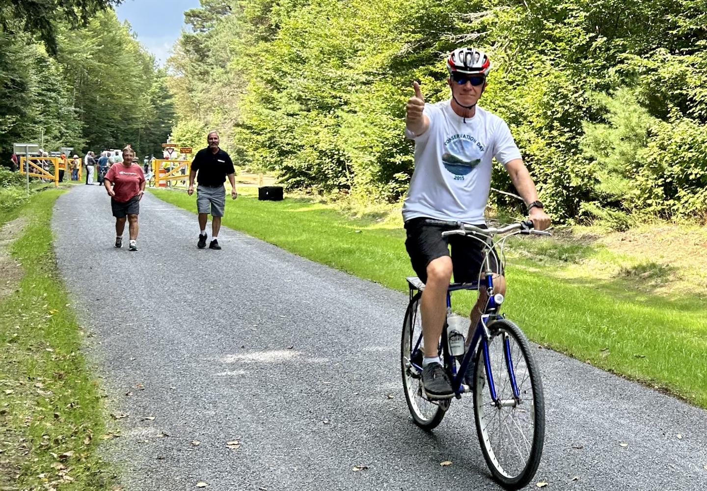
Stage 2: Rail Trail to Floodwood
Once on the trail, turn left and follow it west about 6.4 miles to Floodwood Road. This is one of the most wild and scenic stretches of the rail trail, constituting the southern border of the St. Regis Canoe Area, which is managed as wilderness.
In three-quarters of a mile, look for a yellow gate and woods road on the left. On the return, you’ll take this dirt road to re-enter the rail trail (though there is an on-pavement option). Just past the gate, you pass Rat Pond on the left and, less than a mile farther, Little Rainbow Pond on the right.
A half-mile past Little Rainbow, you get your first glimpse of Hoel Pond. In another 1.25 miles, you come to the carry between Hoel and Turtle Pond--one of the routes into the Canoe Area.
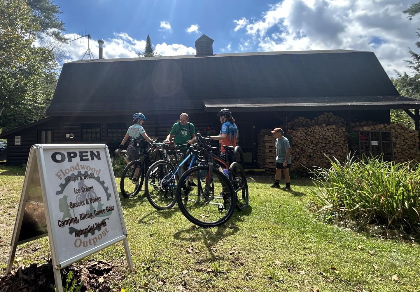
When you reach Floodwood Road (16.1 miles), you’ll see the Floodwood Outpost, an outdoor-supply store run by Dave Cilley that also sells snacks and beverages.
Stage 3: Back to Rail Trail
The next six miles is a mix of good dirt road, pavement, and rough woods road. Turn left on Floodwood Road and bike 4.1 miles to NY 30. The dirt is packed enough that it can be ridden on a road bike. After passing Middle and Polliwog ponds, the road becomes paved for the final mile.
When you reach NY 30 at 20.2 miles, cross the highway to pick up County 46. Follow this quiet road past the Upper Saranac Lake boat launch. It curves left and rejoins NY 30 at 21.2 miles. Cross the highway, angling right to get on a woods road.
The woods road forks in a quarter-mile. The right road is in better shape. The left road leads past Rat Pond and rejoins the other road near the rail trail. Either way, you’ll reach the rail trail in 0.8 miles. Be aware that there is a short, steep descent just before the trail. You may want to walk down this.
If you prefer to avoid the woods roads, you can take NY 30 east 1.1 miles, turn left on Fish Hatchery Road, and then turn left again on Station Road to get back on the rail trail.
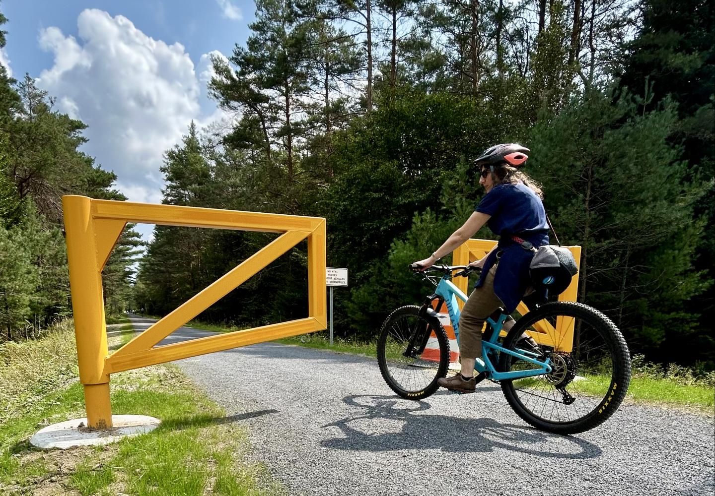
Stage 3: Return to Saranac Lake
The final leg is straightforward: follow the rail trail 10 miles back to the Saranac Lake depot. In the first four miles, you cross the Lake Clear outlet and then parallel the south shore of Lake Clear. Shortly after crossing NY 30 again, you arrive at Charlie’s Inn, which has a bar. restaurant, and tent sites. Charlie’s plans to open a bike-rental shop in a former depot on the property.
Just past Charlie’s you cross NY 186 at 25.8 miles. In another 1.25 miles, you come to McMaster Road, the last road crossing until Saranac Lake. Scenic highlights over the next 5.6 miles include McCauley Pond, the causeway over Lake Colby, beaver meadows, and views of a number of peaks, including the McKenzie Range, Scarface Mountain, and Mount Pisgah.
At 31.8 miles, you come to NY 86 in the village. In another 0.3 miles you’re back at your starting point. My GPS watch recorded 32.1 miles.
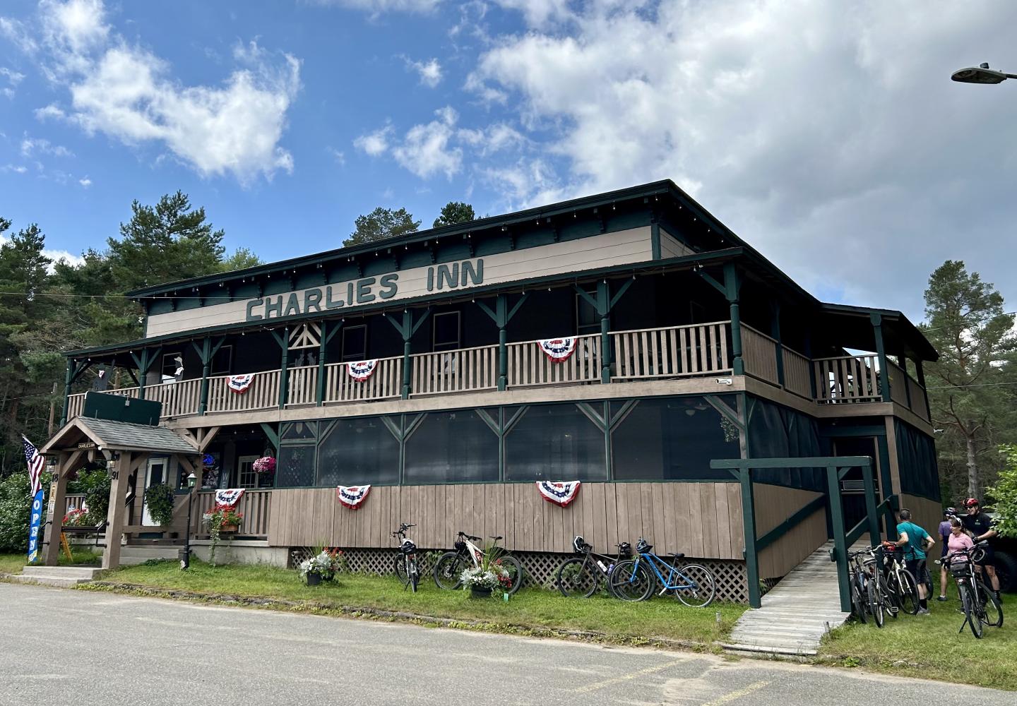
If you get hungry
You can buy food and beverages at three spots along the Great Figure 8: the Floodwood Outpost, reached at 16.1 miles; Charlie’s Inn (25.6 miles); and Mountain Chef Catering, a food truck. The last is reached just before the end of the trip: the truck is stationed in a parking area off NY 86 in Saranac Lake. If you venture into the village, you’ll find many other dining options.
