ADK Rail Trail Connects Saranac Lake Singletrack
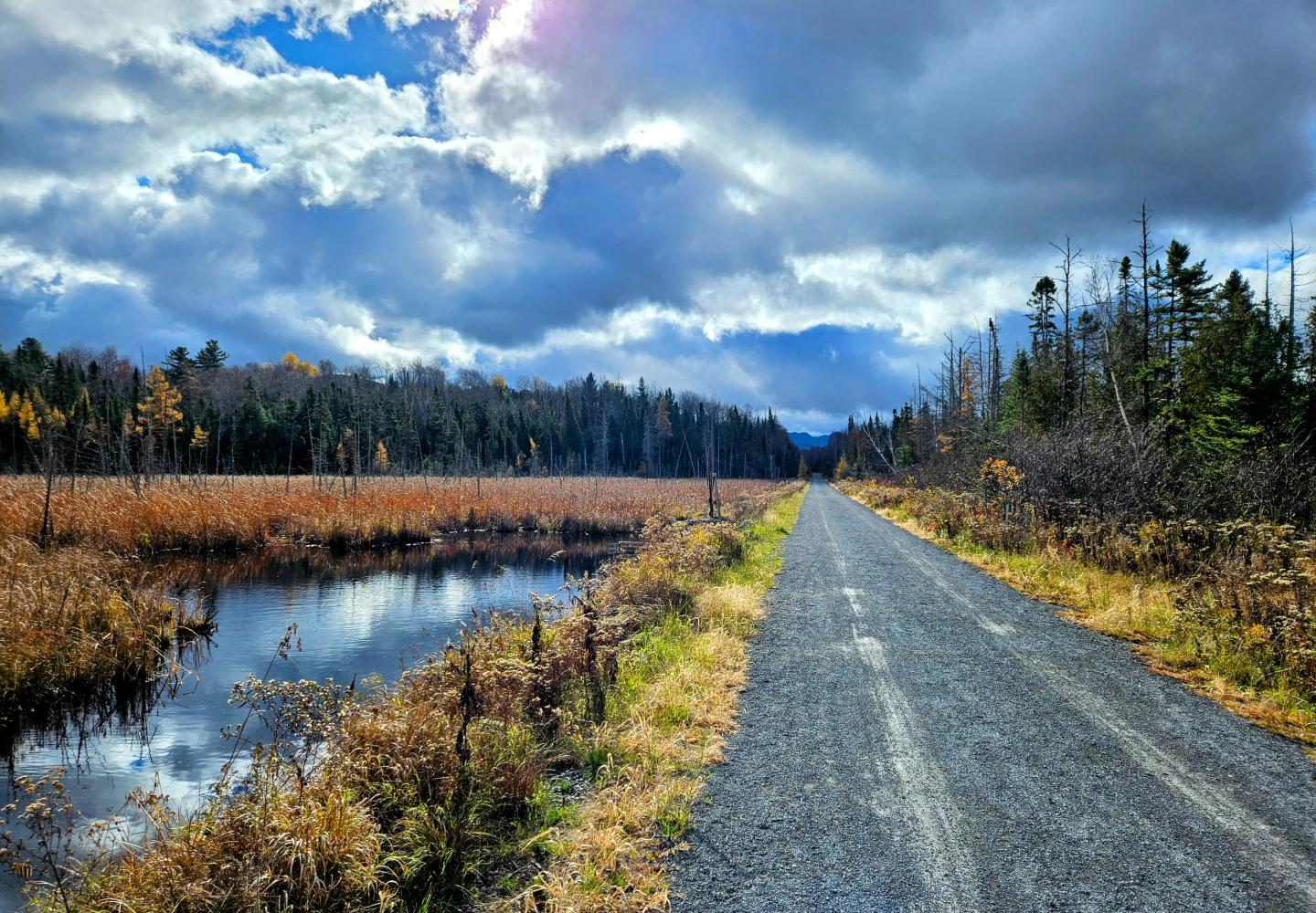
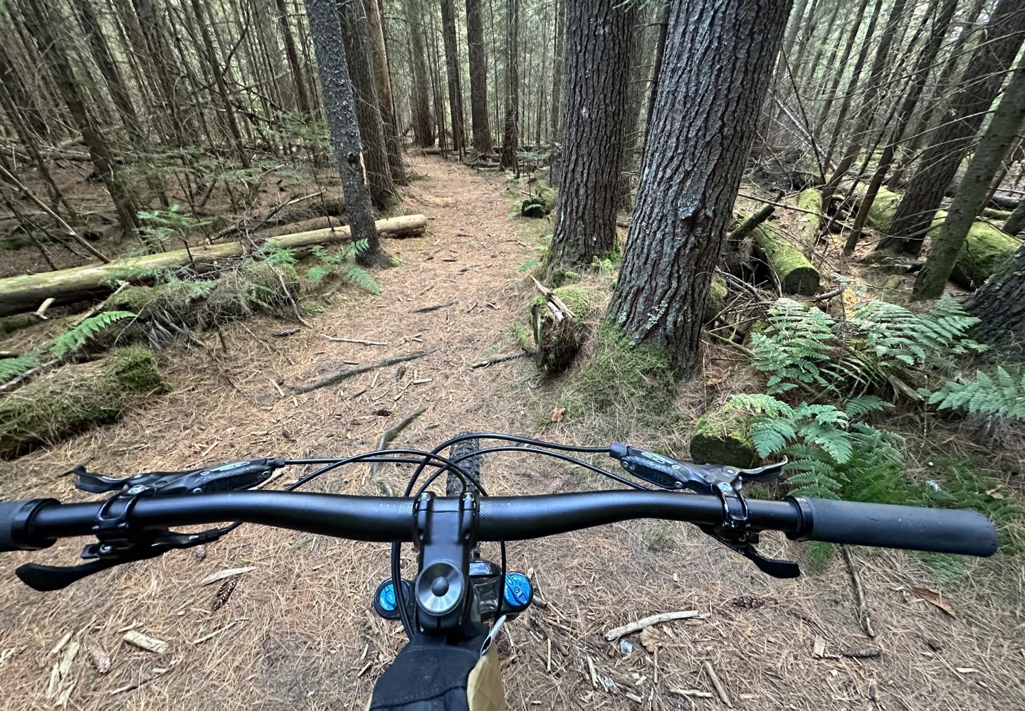
Saranac Lake is blessed with four mountain-bike networks, and the new Adirondack Rail Trail makes it easy to ride from one to another without getting on busy roads.
The networks can be found at Dewey Mountain, Mount Pisgah, the local high school, and Fowler’s Crossing. In addition, Saranac Lake Innovative Cycling Kids (SLICK) has built a pump track with a few adjoining trails, including one that leads to the rail trail.
Someday I’ll write about hitting up all five of these spots in one continuous ride, but in this column I want to focus on the bike trails that can be accessed directly from the rail trail, namely those at Fowler’s Crossing.
Fowler’s Crossing is where trains once crossed State Route 86, just east of the village of Saranac Lake. It’s now the busiest crossing of the rail trail. The state has built large parking lots on either side of the highway to accommodate trail users. On many days this summer and fall, the lots were almost full.
The public Forest Preserve on both sides of the road contains a mix of old trails. They include two snowmobile trails, one active, the other abandoned; a piece of the Jackrabbit Ski Trail; and several well-used herd paths. In recent years, the Barkeater Trails Alliance (BETA) built about 1.7 miles of fun mountain-bike trails in the area.
As a Saranac Lake resident, I had biked the old trails many times. It was enjoyable, but the addition of the BETA trails has improved the experience immensely.
My favorite ride is about five miles long, with 540 feet of climbing. It includes all of the BETA trails, both snowmobile trails, a dirt road, several herd paths, and a short bit of the Jackrabbit. Trailforks rates the trails as easy or intermediate. In my opinion, most of the route is easy enough for a gravel bike. If you take your gravel bike on the rail trail and enjoy riding it on single-track, you might want to check out some of these trails. Just be sure to ride within your limits.
Except for the Jackrabbit, the trails are as yet unsigned and unmarked (though you may see a few old snowmobile disks). BETA is looking at further enhancing the biking experience at Fowler’s Crossing. This might include new trails as well as signage. Given the maze of trails, I’ve described the route below in detail. Trailforks or a similar app may help you stay on track. Unless otherwise indicated, distances are cumulative.
East Side Trails
Park in the lot on the east side of Route 86. From the orange gate, ride the paved rail trail 0.15 miles and look for a single-track trail on the right, flagged with a piece of ribbon. This is a BETA-built trail, labeled One-Liner on Trailforks. You may notice a similar trail shortly before this: ignore it.
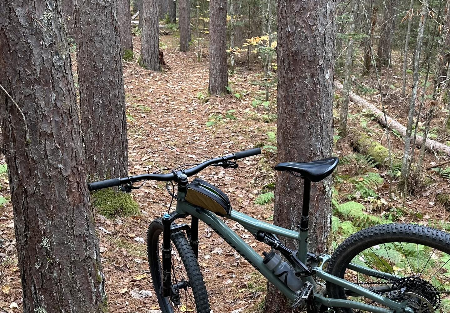
From the rail trail, One-Liner climbs a small hill, then rolls up and down until reaching, at 0.4 miles, a herd path labeled on Trailforks as Crossover. Cross the herd path to continue on the BETA trail, now dubbed Show Stopper. This trail descends in an S-curve to a junction at 0.5 miles. Turn right and climb through a forest of red pine in a series of banked switchbacks and one hairpin turn. After traversing a height of land, Show Stopper descends briefly before ending at another junction with the Crossover trail at 0.80 miles.
Turn left and go downhill to the Jackrabbit Trail, reached in a matter of seconds. Turn right and then take an immediate left at a fork (you’ll return via the trail on the right). At 0.85 miles, the Jackrabbit bends left. You’ll see an arrow pointing in this direction. But you should turn right off the Jackrabbit to get on an abandoned snowmobile trail. Follow this 0.2 miles to a four-way intersection, reached after climbing a short but steep hill. Before the hill look for a side trail on the right: you’ll take this on the return.
At the four-way intersection, the old snowmobile trail continues straight and leads back to Route 86. The trail on the right is a herd path that leads back to the rail trail. The trail on the left leads to a short but challenging lollipop loop, known as Alley Oop. My preference is to do Alley Oop and then retrace my route back to the rail trail. That way I get to enjoy the new BETA trails again--this time on the downhill.
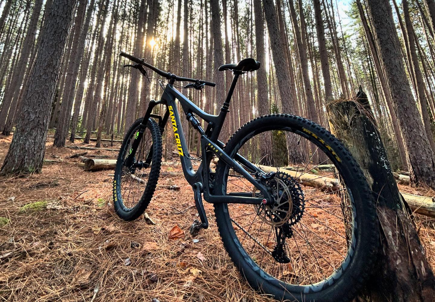
If you’re a skilled gravel-bike rider, you should be able to get as far as the four-way intersection, but you might want to turn around here. For those continuing: follow Alley Oop a quarter-mile to the start of the short loop. I always ride it counterclockwise. It twists downhill and and then climbs steeply back to the starting point. More often than not, I dismount once or twice. If you find the loop above your ability, no big deal: it would take only a few minutes to walk your bike around the whole thing.
Once back at the four-way intersection, turn right and coast downhill. Look for the side trail on the left that you passed earlier. It starts between two red pines. Follow this slightly uphill and then down to the Jackrabbit. On the downhill, you squeeze between two trees with little clearance for the handlebars.
At the Jackrabbit, turn left and then make another quick left to head uphill back to Show Stopper. Turn right and take the BETA trails back to the rail trail. Cross the rail trail (be sure to look both ways) and follow a short path to a dirt road that parallels the rail trail. Turn left and follow the dirt road back to the parking lot and go through the lot to the Route 86 crosswalk. You now have traveled 2.4 miles.
West Side Trails
BETA has built nearly a mile of bike-specific trails on the east side of Route 86: a loop called Ballyhoo and a brand-new climbing trail. Though Ballyhoo is rated intermediate, I have ridden it on a gravel bike. Ballyhoo lies within a longer loop called Oseetah View, a combination of herd paths and a snowmobile trail. The downhill section of Oseetah View is rocky with sharp dips, so I would avoid it if riding gravel bike.
After crossing Route 86, look right for a path next to a Forest Preserve sign. This is the entrance to a wide snowmobile trail (still used in winter). Follow the trail about a tenth of a mile to a junction and then turn right onto a narrower trail. Go another tenth of a mile to another junction and turn left. Shortly, after passing an old vehicle barrier, you arrive at a yet another junction. Turn right to ride in a counterclockwise loop.
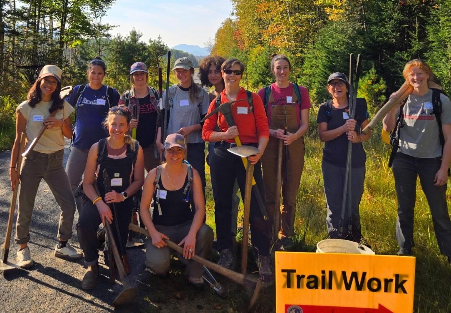
The loop starts on an old herd path, but in 125 feet or so you turn right onto a climbing trail. The BETA crew and Women of the Adirondacks finished the climbing trail this fall. Before then bikers had to continue up the steep herd path to reach the start of Ballyhoo, which was finished last year. I always ended up pushing my bike partway up the hill.
The climbing trail crosses the herd path twice, continues uphill, and finally circles back to end at the herd path. Turn right here, then veer left at a fork, the official start of Ballyhoo. At this point, your total distance is about 2.7 miles.
Ballyhoo is an enjoyable trail that winds through a mixed forest. There are no major obstacles, but you’ll encounter dips and rollovers. In its 0.8 miles, you descend 105 feet and climb only 35 feet, according to Trailforks.
Ballyhoo ends at the aforementioned junction near the old vehicle barrier. Turn right if you want to skip the Oseetah View trail and retrace your route back to Route 86. If you want to try Oseetah View, turn left and climb as before to the junction of Ballyhoo and the old herd path (at 3.7 miles). Instead of veering left onto Ballyhoo, continue straight on the herd path. The trail climbs steeply for a short distance, so you may need to push the bike. When the grade eases, the trail bends left and continues to climb gently to a height of land. Next comes a fun downhill. The rocks, sudden dips, and sharp turns warrant the intermediate rating.
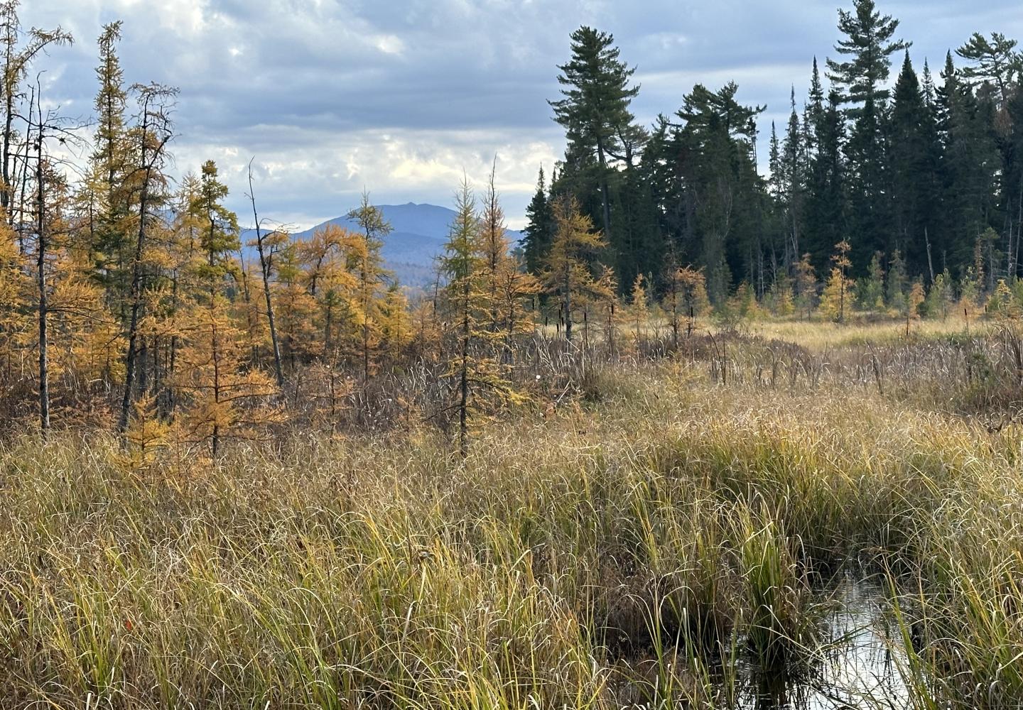
At 4.15 miles, the trail reaches a woods road with a view of Oseetah Lake. Turn left. The trail parallels the lake for a while, passes through a mucky section, and enters a pine forest where the riding gets easier. At the first junction, turn right. This side trail soon leads to the snowmobile trail. Turn right on the snowmobile trail and ride a short distance to a view of Oseetah Marsh, identified by the Adirondack Park Agency as a natural area of special interest. After soaking up the scenery, turn around and follow the snowmobile trail a half-mile back to Route 86. Cross the highway again to complete the trip.
