Ride Report: Graphite Range Community Forest
At 225 acres, the Graphic Range Community Forest is designed to bring the Adirondacks a little bit closer to the Capital Region.
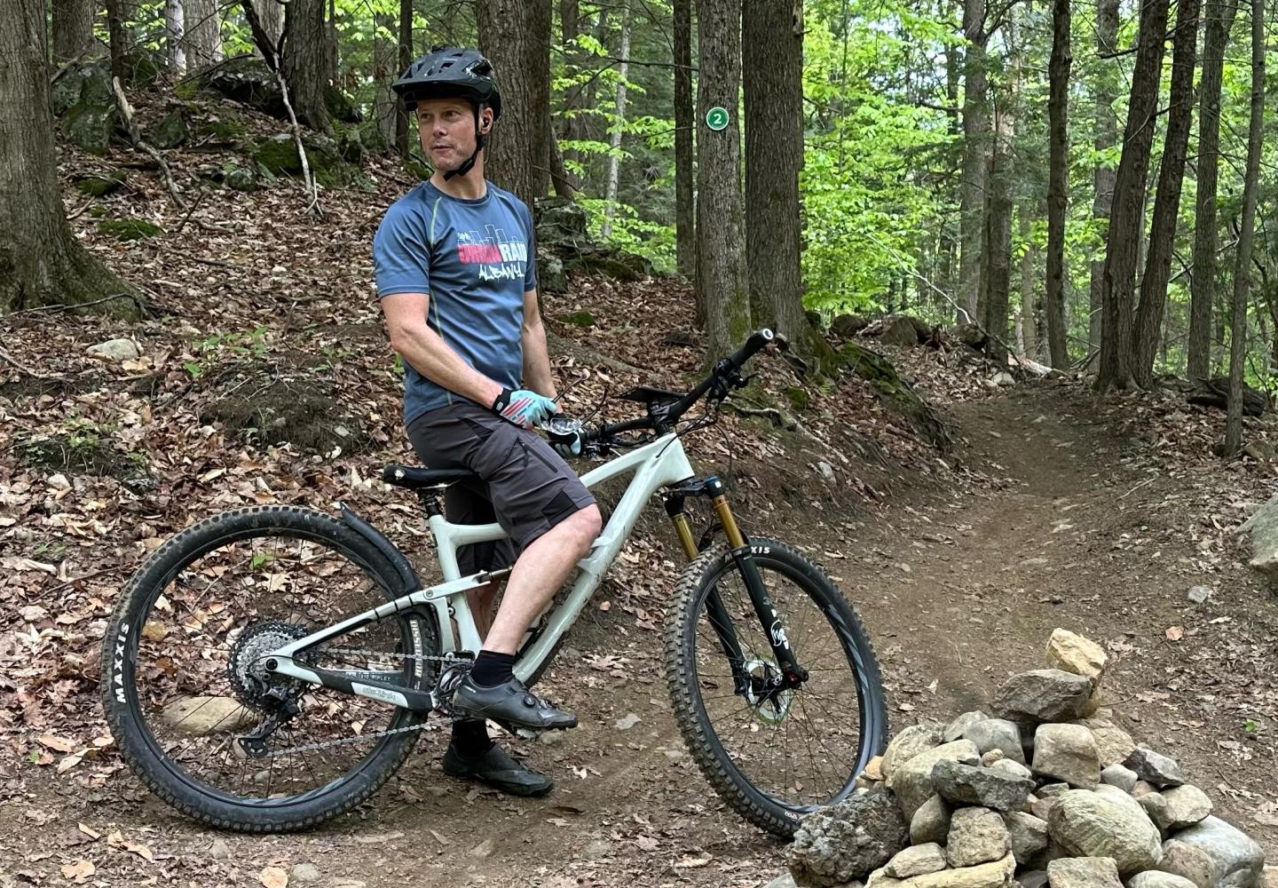
My friend Tim, a fellow retiree, has been biking for years. He especially enjoys road and gravel biking. As for mountain biking, let’s just say he’s not crazy about riding over large rocks.
“I don’t want to be thrown from the bike,” he remarked.
Yet I persuaded him to join me for a ride on the trails of the Graphite Range Community Forest in the town of Wilton, a bit south of the Adirondack Park.
Though owned by Saratoga County, the 225-acre nature preserve is managed by Saratoga PLAN, a land-conservation group. There are about seven miles of trails on the property. With a few exceptions, the trails are open to both bikers and hikers.

Ethan and Anne Winter sold the land to the county at a discount a few years ago. Wilderness Property Management, owned by Steve Ovitt, a former Adirondack forest ranger, built a network of multi-use trails that opened to the public in December 2023. Most of the trails are single-track designed with biking in mind. Overall management of Graphite Range Community Forest is through a stewardship agreement between Saratoga County and the local land trust, Saratoga PLAN. The trails themselves are maintained by Saratoga Mountain Bike Association.
“The Graphite Range Community Forest is really a project to bring the Adirondacks a little bit closer to our Capital Region,” said Ethan Winter, the solar director for American Farmland Trust and a former ski guide in Jackson Hole, Wyoming.
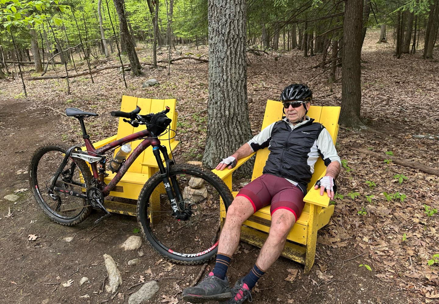
Indeed, North Country bikers should feel right at home. If they need a break, they can plop down in one of the Adirondack chairs found along the trails. And as they cruise through the woods, they will hear many of the same birds common in the North Woods. On my visits, I heard ovenbirds, red-eyed vireos, and a pileated woodpecker, among other species.
Tim and I arrived at the Route 9 trailhead in the late morning. I had scouted out the trails the day before and found them largely free of rocks and roots, which is why I thought they’d be to Tim’s liking. Although the Trailforks apps shows all the trails as blue, or intermediate in difficulty, much of the riding is mellow. Perhaps the hardest riding comes at the very start: you face a stiff climb to reach the trails.
One option is to ascend the Old Mine Road, once used to access graphite mines. From the parking area, the dirt road goes straight uphill. A better option is to take a climbing trail that starts left of the Old Mine Road. The trail switchbacks beside a brook before reaching the road in a quarter-mile, having gained about 140 feet in elevation.
Tim didn’t seem to mind the ascent. Whereas I stopped to take notes when we got to the Old Mine Road, he continued climbing (albeit more gradually) to the junction with Upper Works Road.
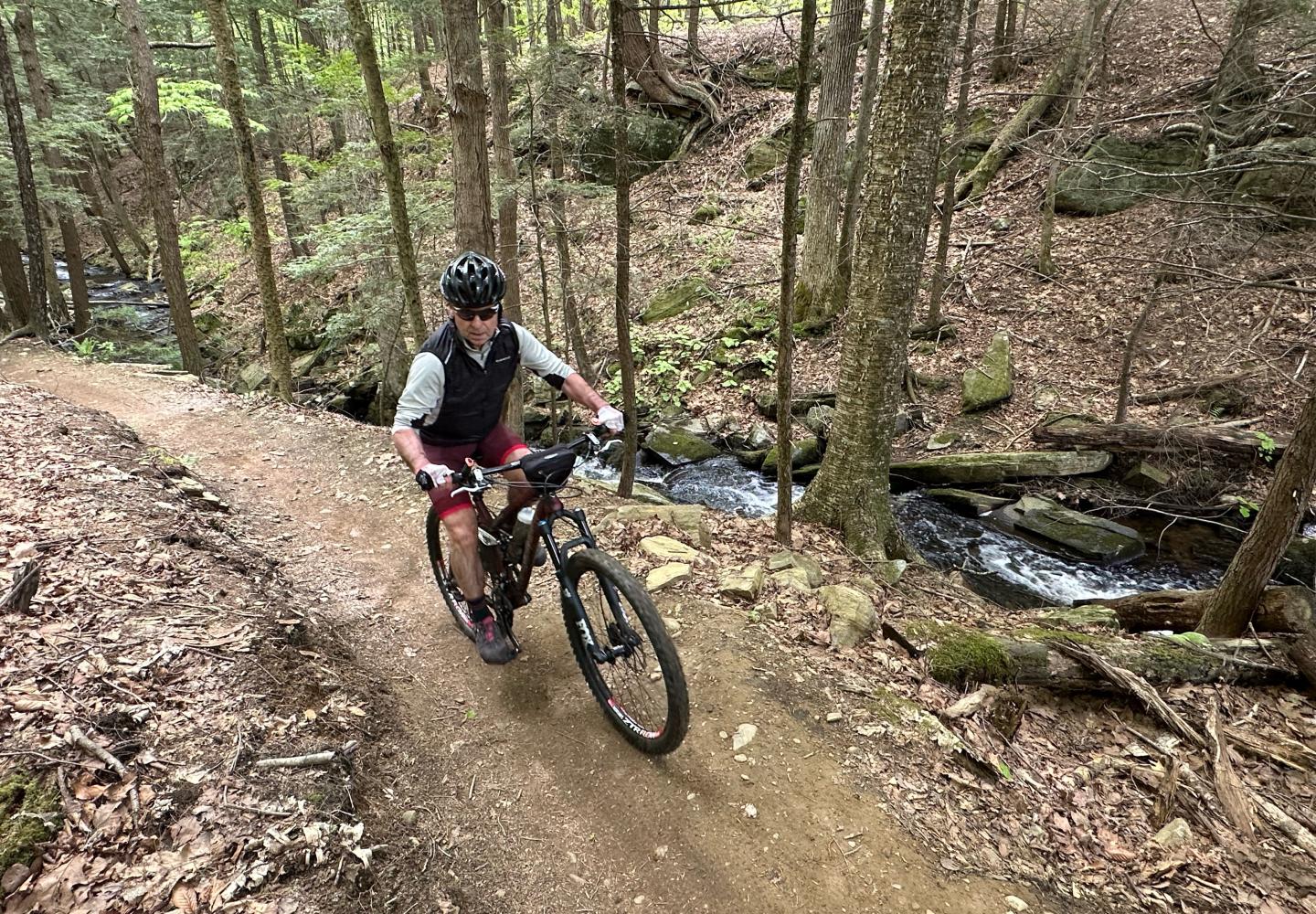
Don’t be fooled by the name. Upper Works Road soon turns into a delightful single-track trail that parallels the cascading brook. After reaching a beaver meadow, it makes a sharp turn, climbs a short, steep pitch, and comes to a major junction on the Old Mine Road.
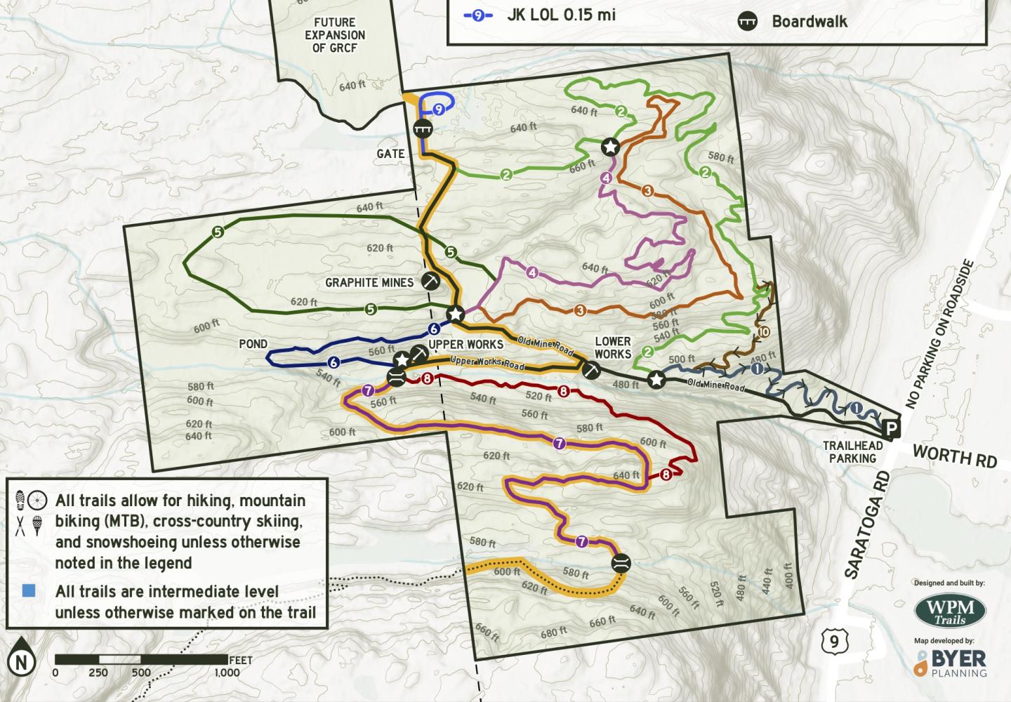
Tim and I turned left on the Old Mine Road and soon passed the entrance to the former mine (which is fenced off). We continued another 400 feet or so and turned left on Winterland, a mellow single-track trail that looped back to the Old Mine Road. Turning left, we passed the old mine again and this time continued on the road to a junction with JK LOL and Headlands.
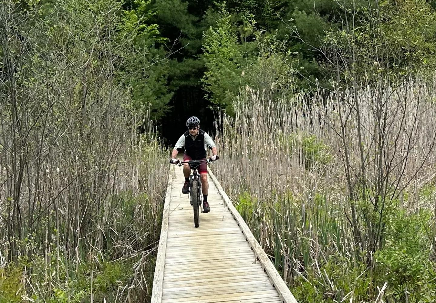
JK LOL is a lollipop loop with a long boardwalk over a marsh, definitely worth the brief detour. Eventually this section will connect to additional trails. JK LOL initially passes by a metal gate that blocks access to an adjoining private property. Please respect posted boundary signage - good neighbor relations are what successful community forests are all about. A second trailhead on Wilton-Greenfield Road will provide access without much climbing. Eventually, the preserve will connect to the more technical Daniels Road bike trails. Winter envisions a network of trails extending north to Tupelo Community Forest in Greenfield and on to Moreau State Park.
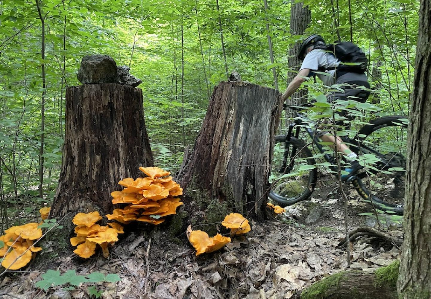
Once back at the JK LOL junction, Tim and I started down Headlands (an allusion to California’s Marin Headlands, a birthplace of mountain biking). At 1.25 miles, it’s the longest single-track trail at the Graphite Range and the usual descent route. We took it only two tenths of a mile to a large cairn at a junction with two other trails--Trifecta and Holy Moly.
At the cairn, we met Mark, a mountain biker from Albany who has ridden the Graphite Range trails several times. He recommended Trifecta and Holy Moly, describing them as rolling and flowing. They can be combined in a loop that brings you back to the cairn. Mark’s routine is to do the loop in both directions.
Tim and I went down Trifecta 0.7 miles to its junction with Holy Moly, then took Holy Moly about the same distance back to the cairn. Both trails feature ups and downs, banked turns, and rollers--lots of fun.
Next we resumed the descent of Headlands, which is similar to Trifecta and Holy Moly, but with more descent. It ends near Metamorphic, a downhill-only trail that leads back to the parking area. At the outset, Metamorphic resembles Headlands in character, but upon breaking out of the woods it swoops downhill in big-banked curves, a thrilling ending to a circuit of the Graphite Range.
In our five-mile outing, we ascended a total of 550 feet and hit every bike trail but two: Over Yonder and Shred Buzz. Back at the car, I asked Tim what he thought of the ride.
“I gotta give the trail builders credit. They seem to know what they’re doing.” he replied.
We rode over exposed bedrock in several places, but I don’t recall any boulder-strewn sections. Once you get past the initial climb, the Graphite Range trails are more fun than challenging (if taken slow).
“We wanted a fun trail system, but not one that is just jumps and adrenaline,” said Winter.