BETA Plans More Trail for 2023
The ever expanding Barkeater Trail Alliance mountain bike network is growing again with new trail planned for Keene and Elizabethtown.

New Trail Planned for Keene & Elizabethtown
Guest blog by Phil BrownNew trails planned for the Barkeater Trails Alliance (BETA) network in Keene & Elizabethtown
Guest blog by Phil Brown
When I left town in early April, people were still ice climbing and backcountry skiing. By the time I returned, less than two weeks later, the ice tools and skis had been put away in favor of bikes.
On my second day back, I hit up the mountain-bike trails off Hardy Road in Wilmington. They were bone dry. If there was a mud season at Hardy, I missed it. The same weekend I biked at two relatively new (and unfinished) trail networks: the Cobble Hill trails in Elizabethtown and the East Branch Community Trails in Keene. The trails in both locales were dry enough to recommend them in the future for early-season riding.
I had not been to Cobble Hill or the East Branch trails since last summer, and I noticed a number of changes.

Cobble Hill
Over the past few years, the BETA crew and volunteers have created 2.4 miles of bike trails on municipal land next to the town’s golf course. Most of the network is rated easy or intermediate. The exception is a 0.4-mile trail called Hickory, which loops off the intermediate Cobble Hill Trail.
Hickory, an expert trail, remains a work in progress, with survey flags still in place. Nevertheless, it is rideable. In my past visits, I had been unable to find it. This time, the intersection with Cobble Hill Trail was easy to spot. It’s definitely a step up in difficulty from the other trails. Though it starts easily, Hickory soon descends a steep hillside in a series of sharp switchbacks before rejoining the main trail.
BETA’s executive director, Josh Wilson, said he hopes Hickory will be finished this year. The organization’s other plans include installing signage and kiosks and repairing a rutted woods road that is part of the trail system.
But the biggest project at Cobble Hill is well underway. Funded partly by a grant from the Northern Border Regional Commission, the town is constructing a pavilion and a welcome center at the parking area off Route 9N. Wilson said a local volunteer will build a skills track in the vicinity of the pavilion.

Jeff Allot, a town councilman and an avid mountain biker, said the welcome center will include a bathroom, benches, a bike-repair station, and a gas fireplace. In the winter, it will be used as a warming hut for people skiing on the trails or nearby golf course. The town also plans to maintain a sledding hill on the site. Allott, who is doing much of the work himself, said he hopes the buildings will be finished by E-town Day, an annual celebration in July.
The parking area also will be improved. Elizabethtown Supervisor Noel Merrihew said the aim is to make Cobble Hill the hub of a wider network of local mountain-bike trails. The Cobble Hill trails lie across Route 9N from the more extensive Blueberry Hill trails. Bikers can ride between the two networks via a short gravel road. Allott owns and maintains another network of bike trails on Otis Mountain, where the public can ride for free. The town is developing a trail to connect Otis to Cobble Hill. Allott said kiosks with bike tools will be installed at Cobble Hill, Blueberry Hill, Otis and downtown.
All this is sure to enhance Elizabethtown’s reputation as a mountain-bike destination, but Allott said that’s not the primary goal. “Honestly, it’s not about the tourism. It’s about a great place to live and having these great resources in our backyard,” he said.

East Branch Community Trails
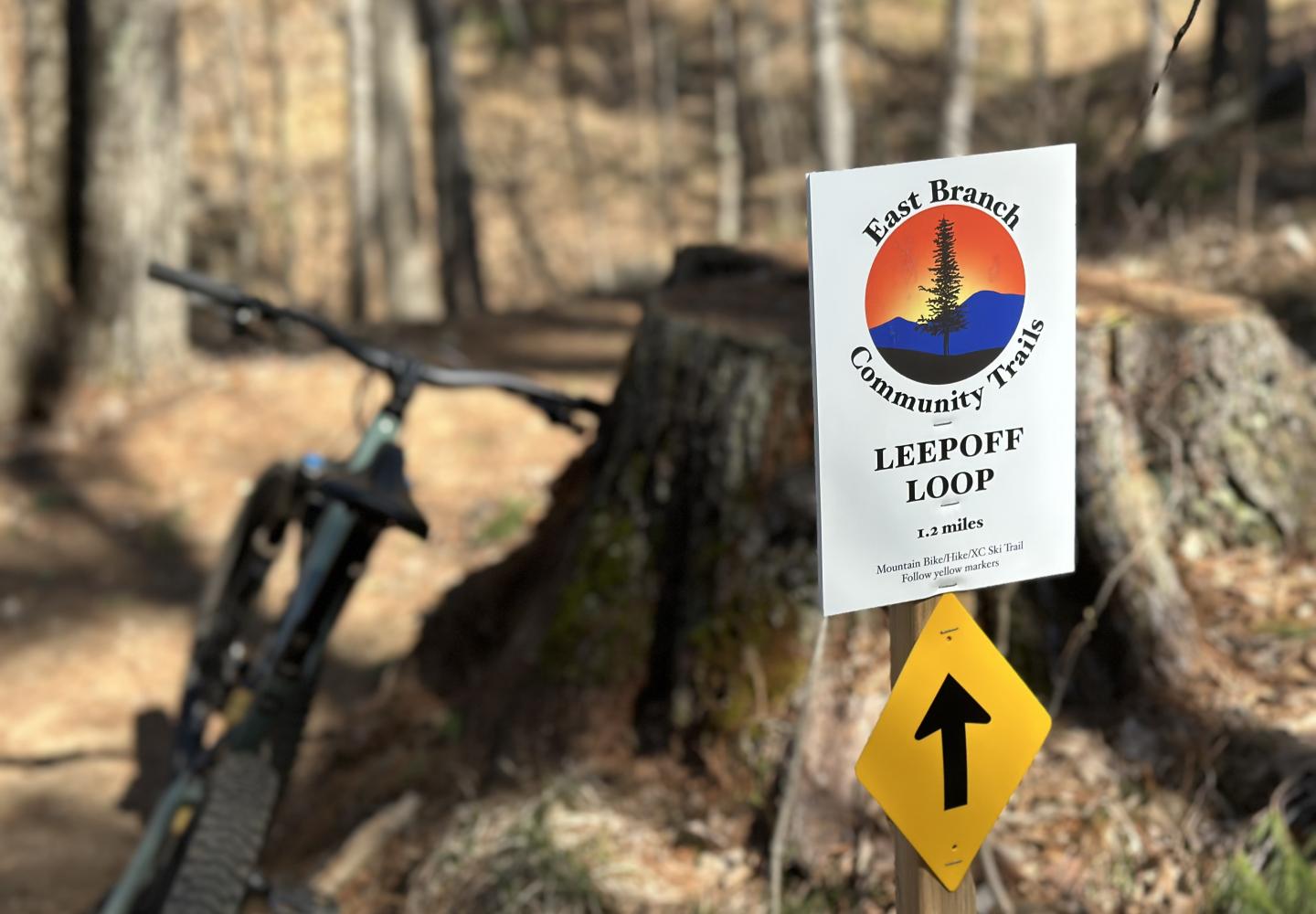
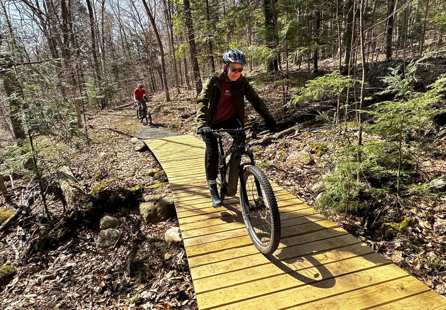
BETA hired Peduzzi Trails to build the East Branch Community Trails on Essex County land between Keene and Upper Jay. Eventually, there will be six or seven miles of trail. When I visited last summer, Peduzzi had completed one trail, the 1.1-mile Leepoff Loop--a mellow, wide, smooth route that’s ideal for novice mountain bikers. Peduzzi also had started work on a climbing trail.
In April, I returned to find a new kiosk at the parking area with a map showing trails that have been built as well as those planned for the future. I hopped on my bike and followed Leepoff Loop to the climbing trail.
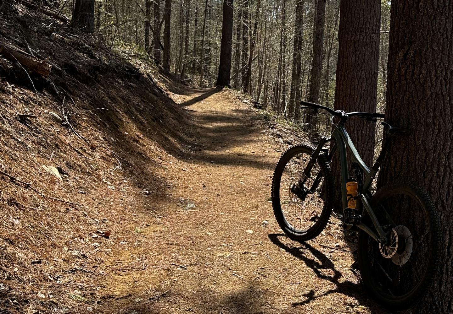
This trail is superbly designed, ascending gradually in numerous switchbacks, gaining 325 feet over 1.2 miles. At the top, a short loop traverses open bedrock with filtered views (at least before leaf-out) of Whiteface Mountain. The trail stops just short of a power-line corridor.
BETA intends to build more trails on the other side of the power lines, including some expert routes. This year, however, Peduzzi has been tasked with creating a downhill trail from the existing climbing trail. Until that’s finished, bikers must descend the climbing trail.
Wilson said it will take several years to finish the network. In the meantime, the East Branch Community Trails are worth a visit. In all, I rode 3.5 miles and ascended about 435 feet. Navigation is easy, thanks to trail signs installed at junctions.
The East Branch plans also call for a pump track at the trailhead.

Adirondack Rail Trail
Construction of the Adirondack Rail Trail began in earnest in April. Kubricky Construction Corporation has been hired by the state to build a 10-mile stretch of the trail between Lake Placid and Saranac Lake. The remaining 24 miles of rail trail, connecting Saranac Lake to Tupper Lake, will be built in subsequent years.
Most of the trail will be surfaced with packed stone dust, but within Saranac Lake, it will be paved. The state Department of Environmental Conservation, which manages the corridor, says the stone dust will be suitable for most road bikes as well as gravel, hybrid and mountain bikes.
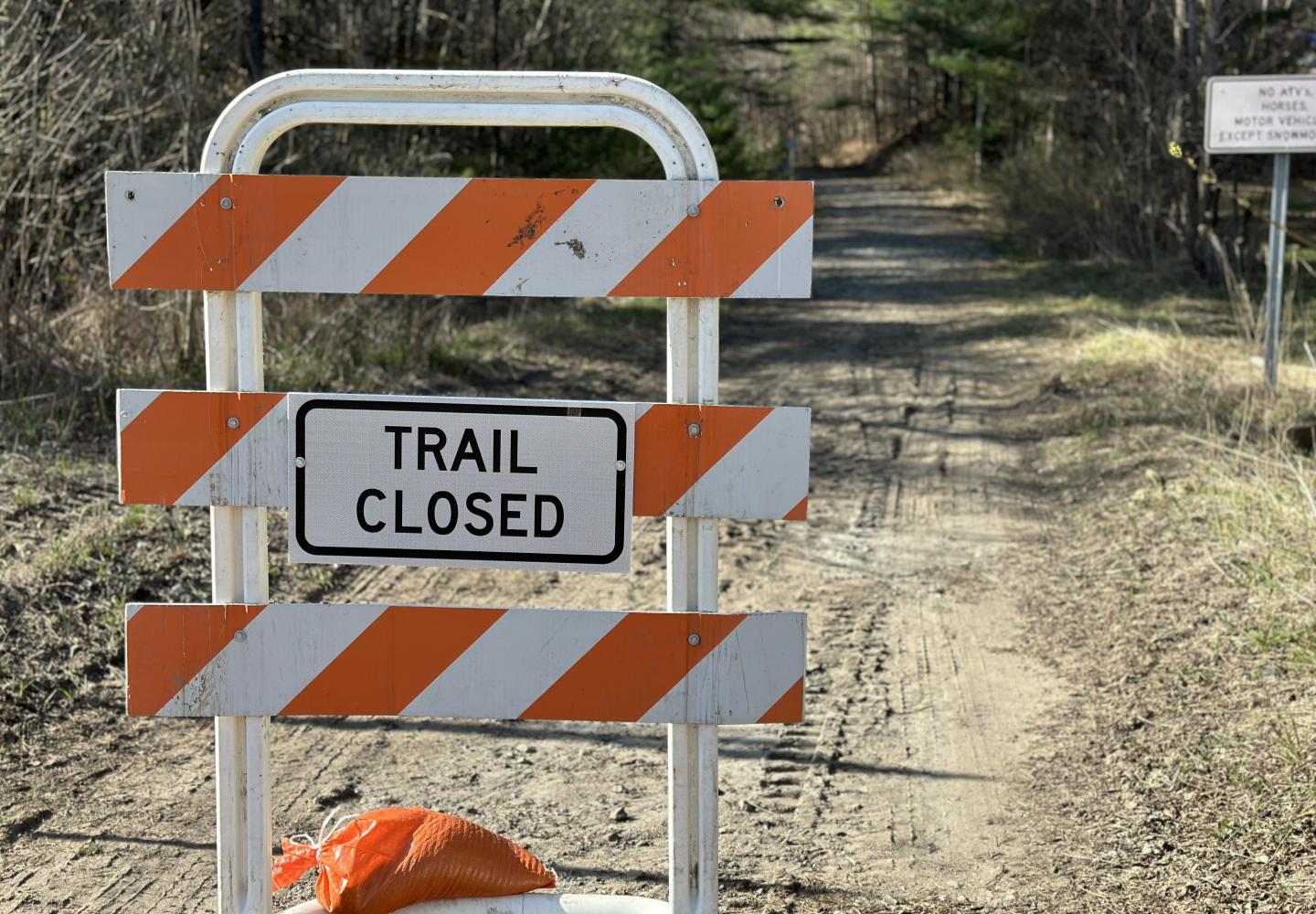
Work on the first phase should be done this fall. Meantime, recreational use of the corridor between Lake Placid and Saranac is forbidden. Barriers have been installed at several access points between the two villages.
Bikers are allowed to continue using the corridor west of Saranac Lake this year. The surface from the village to the the vicinity of the St. Regis Canoe Area is packed dirt suitable for hybrids and gravel bikes. Beyond, bikers will encounter large gravel where a mountain-bike would be the better choice. The surface changes back to dirt near Rollins Pond and remains dirt the rest of the way to Tupper Lake.

