Ride Report: Tupelo Community Forest
I enjoy gravity as much as the next guy, but I also love biking on a well-designed trail that winds for a long distance through a beautiful woods.
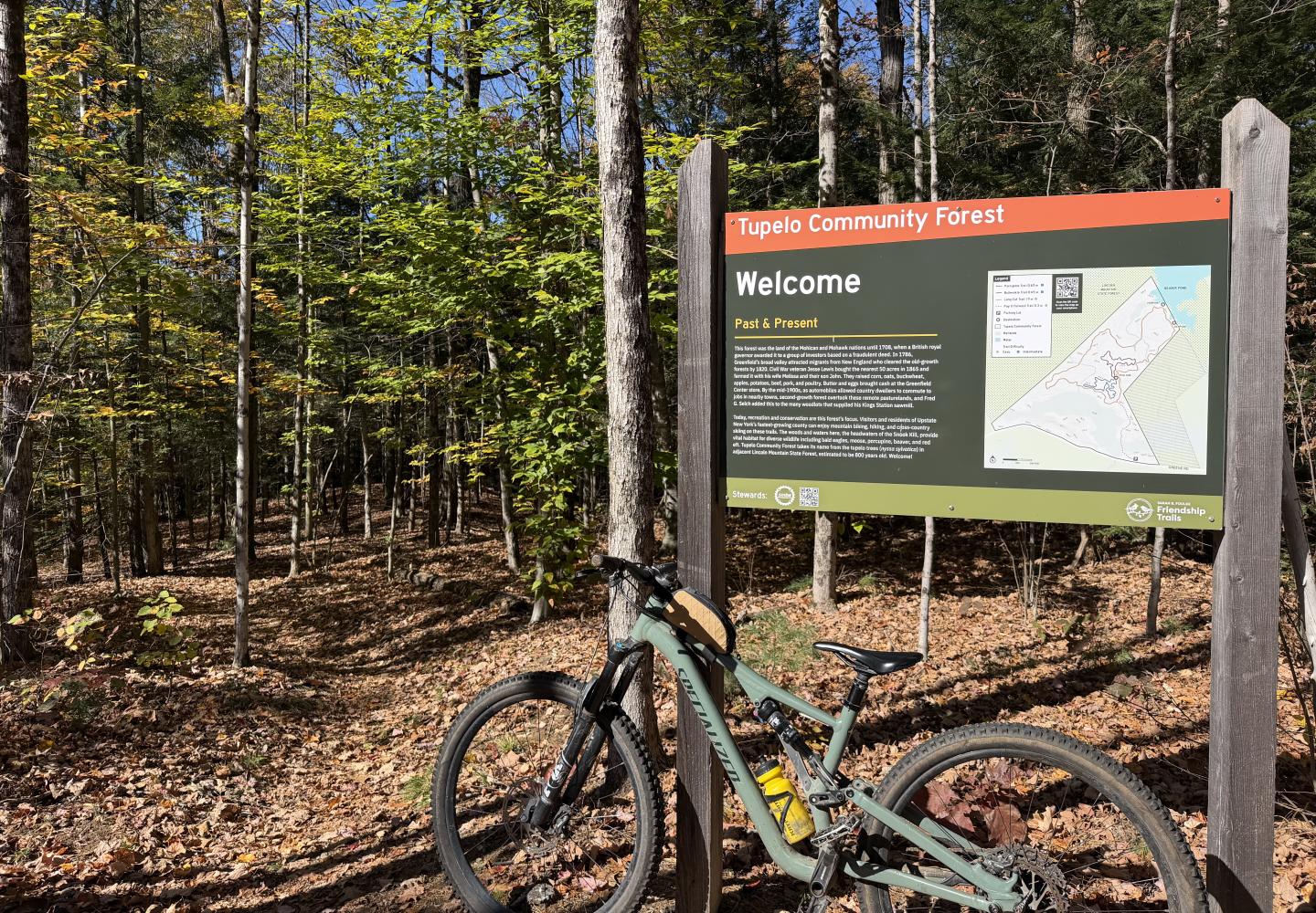
That’s what I found last month at the Tupelo Community Forest in the town of Greenfield just south of the Blue Line in Saratoga County. The smooth machine-built trails are ideal for beginners and families, but they also are a lot of fun for experienced mountain bikers.
Wilderness Property Management built the trails in 2021. They first opened to the public in April 2022, but legal red tape (the lack of a town permit) forced the landowner to close them shortly after the ribbon-cutting. They opened again this past May.
Will Aldrich, who bought the land in 2020, now has a temporary permit from the town and hopes to obtain a permanent one next year. The Tupelo trails, he said, complement the more difficult trails in two nearby networks--the Daniels Road State Forest and the Graphite Range Community Forest.
“There’s nothing more inspiring to me than seeing families out there and enjoying themselves,” he told Bike Adirondacks. “Tupelo is a great place to build your confidence.”
All three networks are maintained by the Saratoga Mountain Bike Association.
Though he now lives in San Francisco, Aldrich grew up in Greenfield and Saratoga Springs and learned to mountain bike as a kid. He purchased the 145-acre Tupelo forest to help the Palmertown Range Initiative--a long-range plan to connect public lands in the foothills of northern Saratoga County. “We’re a gateway to the Adirondacks,” he remarked.
It’s hoped that someday the Tupelo, Daniels Road, and Graphite Range networks will be connected to each other and to the trails in Moreau Lake State Park farther north.
I rode in the Tupelo Community Forest twice last month, once solo and once with my friend Tim, who lives in nearby Ballston.
Tim prefers gravel or road biking, but lately he has been mountain biking with his seven-year-old grandson, Colin. The youngster had ridden the Daniels Road trails and found them too tough. He did better on the Graphite Range trails, but had to walk his bike up the long climb at the start. After my solo ride, I figured the Tupelo trails would be ideal for Colin and wanted to show them to Tim.
Tim and I rode all four trails in the network. From the spacious parking area on Greene Road, we followed Pay It Forward for 0.3 miles to Long Cut, the main trail. Long Cut lopes through the woods with small ups and downs and gentle turns. In a two-mile loop, it climbs just 125 feet. It is one of the best cross-country trails for beginners in the North Country.
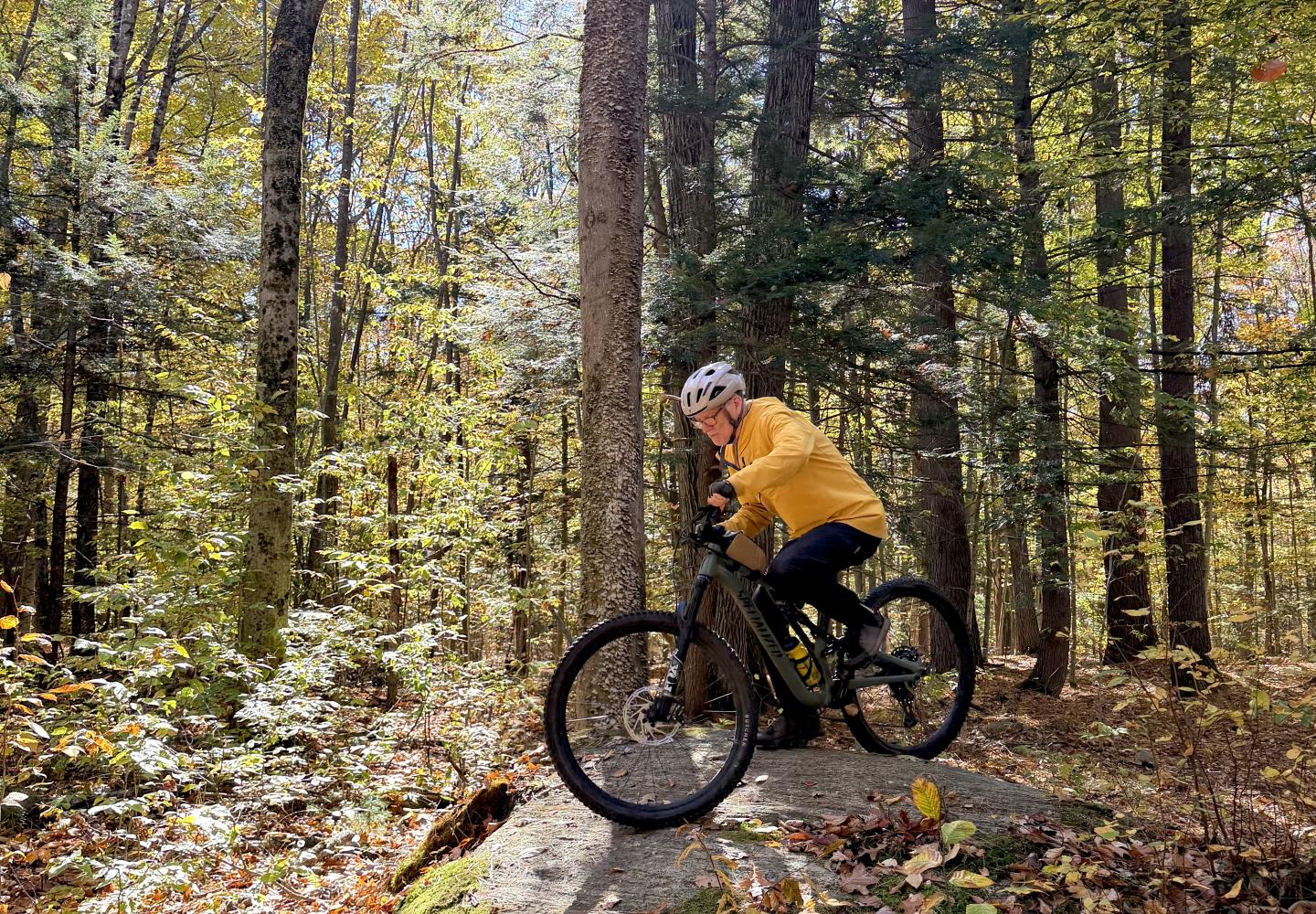
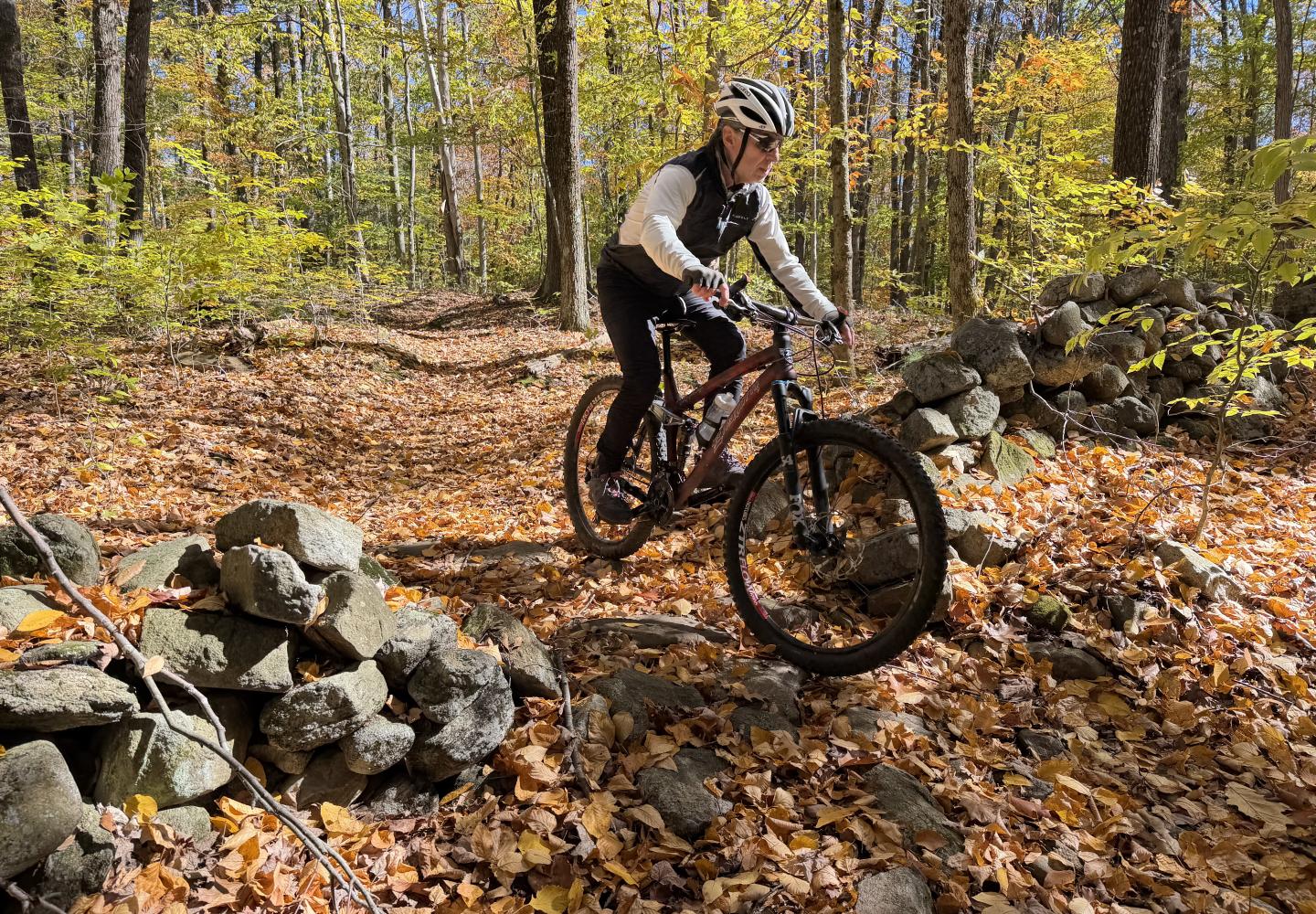
Inside the Long Cut loop are two intermediate loops, Bullwinkle and Porcupine, each about a half-mile long. They are on the easy side of intermediate. A competent beginner should be able to handle them if undaunted by sharp turns and the occasional obstacle, such as gaps in stone walls and bedrock outcrops. Bullwinkle has a large rollover boulder that might intimidate a novice, but it can be avoided.
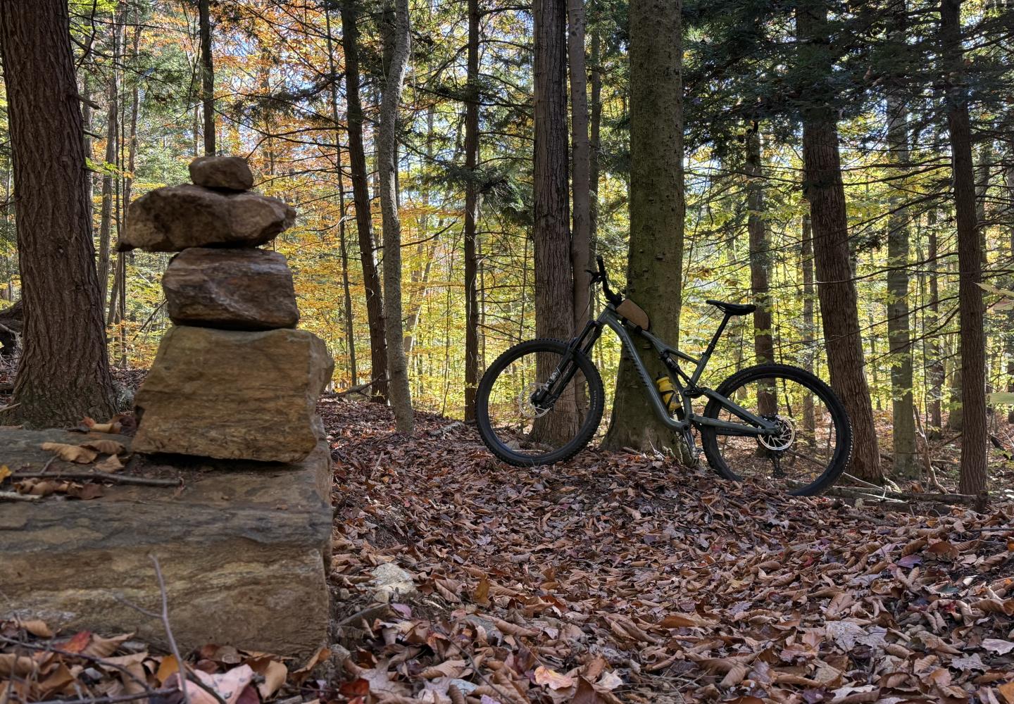
Fallen leaves covered the trails on the day of our ride. As a consequence, Tim veered off course a few times, but he still had a blast. And he agreed that the Tupelo trails would be great for Colin.
“I’ll bring him back when they clear the leaves off,” he said. “I think he’d love it.”
In all, we biked about 3.7 miles, with 270 feet of climbing. However, I would recommend riding Bullwinkle and Porcupine in both directions. This will add a mile to the distance.
If you want more adventure, the adjacent 982-acre Lincoln Mountain State Forest has three miles of bike trails created by SMBA Vice President Dave Walters, who lives nearby. The hand-built routes are rougher and require more skill, but they’re not overly difficult for an experienced rider. The day before my outing with Tim, I rode both the Tupelo and the Lincoln trails, racking up nine miles with 610 feet of climbing. The two networks are connected.
Incidentally, the Tupelo Community Forest takes its name from a stand of ancient black tupelo trees in the state forest. Some of the trees are more than 500 years old and have a circumference of nine feet. Getting to the tupelos requires bushwhacking to a swamp.
Here are some details of my ride with Tim:
- START: Follow Pay It Forward downhill, cross a large wetland, and then climb through a hardwood forest.
- 0.3 miles: Veer left at the start of the Long Cut loop. Traverse a low ridge, descend, then climb on switchbacks.
- 0.7: Pass a sign for Lincoln Mountain State Forest. An old woods road leads toward the tupelo swamp. This is NOT the turn for the hand-built trails.
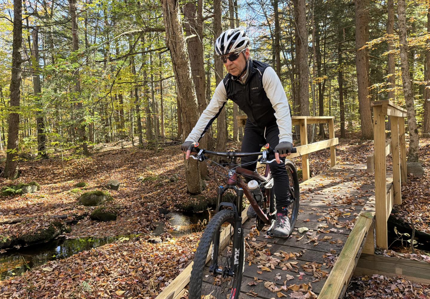
- 1.3: Cross brook on a wooden bridge.
- 1.5: Lookout over a large beaver swamp. A second lookout soon follows.
- 1.6: Pass an unmarked trail on left that leads to the bike trails in the state forest.
- 1.8: Cross brook on another wooden bridge.
- 2.1: Climb to a four-way intersection at bedrock outcrop. Turn right to ride Bullwinkle counterclockwise. Trail descends in a series of sharp turns with small berms to a large boulder (optional rollover) and then climbs switchbacks.
- 2.6: Back to the four-way intersection. Turn right to ride Porcupine counterclockwise. Expect a few rock features, including gaps in a stone wall and bedrock outcrops.
- 3.2: Back to the intersection. Turn right to continue on Long Cut, descending a series of banked turns and passing through another stone-wall breach.
- 3.4: Turn left on Pay It Forward.
- 3.7: End ride at parking area.
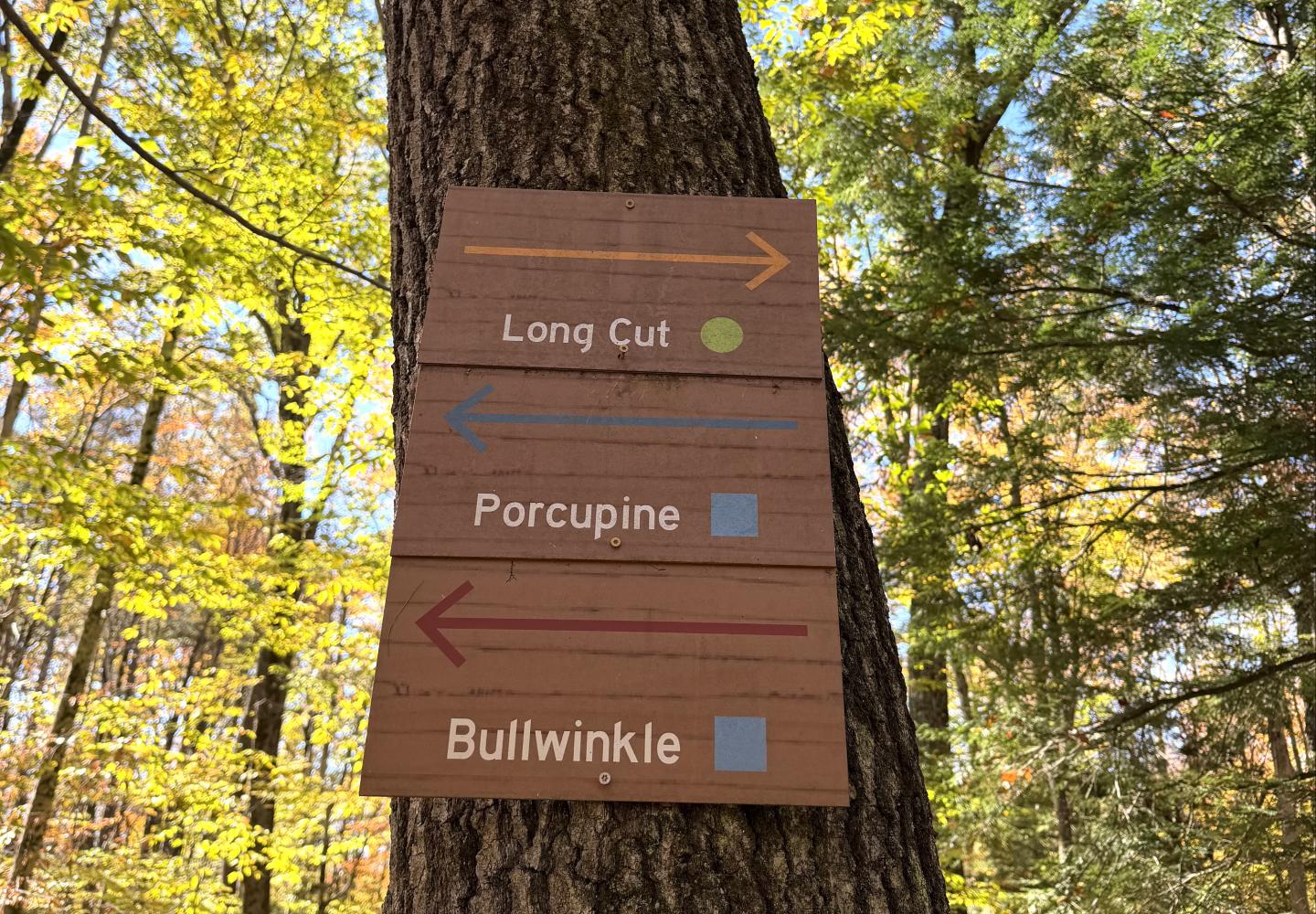
If you decide to explore the Lincoln trails, you can do two loops. Though most junctions lack signs, the trails are marked by blue disks.
First loop: The connecting trail is called Fawn on Trailforks. At 0.2 miles, you reach a fork with Swamp Thing. Continue straight to stay on Fawn, then turn right at the next junction in another 0.2 miles. At 1.0 mile, you come to the other end of Swamp Thing. Turn right and go 0.7 miles to the Fawn fork. Turn left to return to the Tupelo Community Forest.
Second loop: This begins at Fawn’s second fork with Swamp Thing. Instead of turning onto Swamp Thing go straight to get on Newt, bearing right at the first junction. After a mile, you come to an old woods road. Turn left and go 0.1 miles, then turn onto left onto the other end of Newt (look for a blue disk) just as the road starts to bend to the right. You return to the junction of Fawn and Swamp Thing in another tenth of a mile.