Open Space Institute Buys 1,525 Acres
The Open Space Institute’s purchase of a 1,525-acre Boy Scout camp on the north shore of Lows Lake is great news for paddlers. Miles of additional shoreline will soon become part of the public Forest Preserve.
Could it also be good news for cyclists?
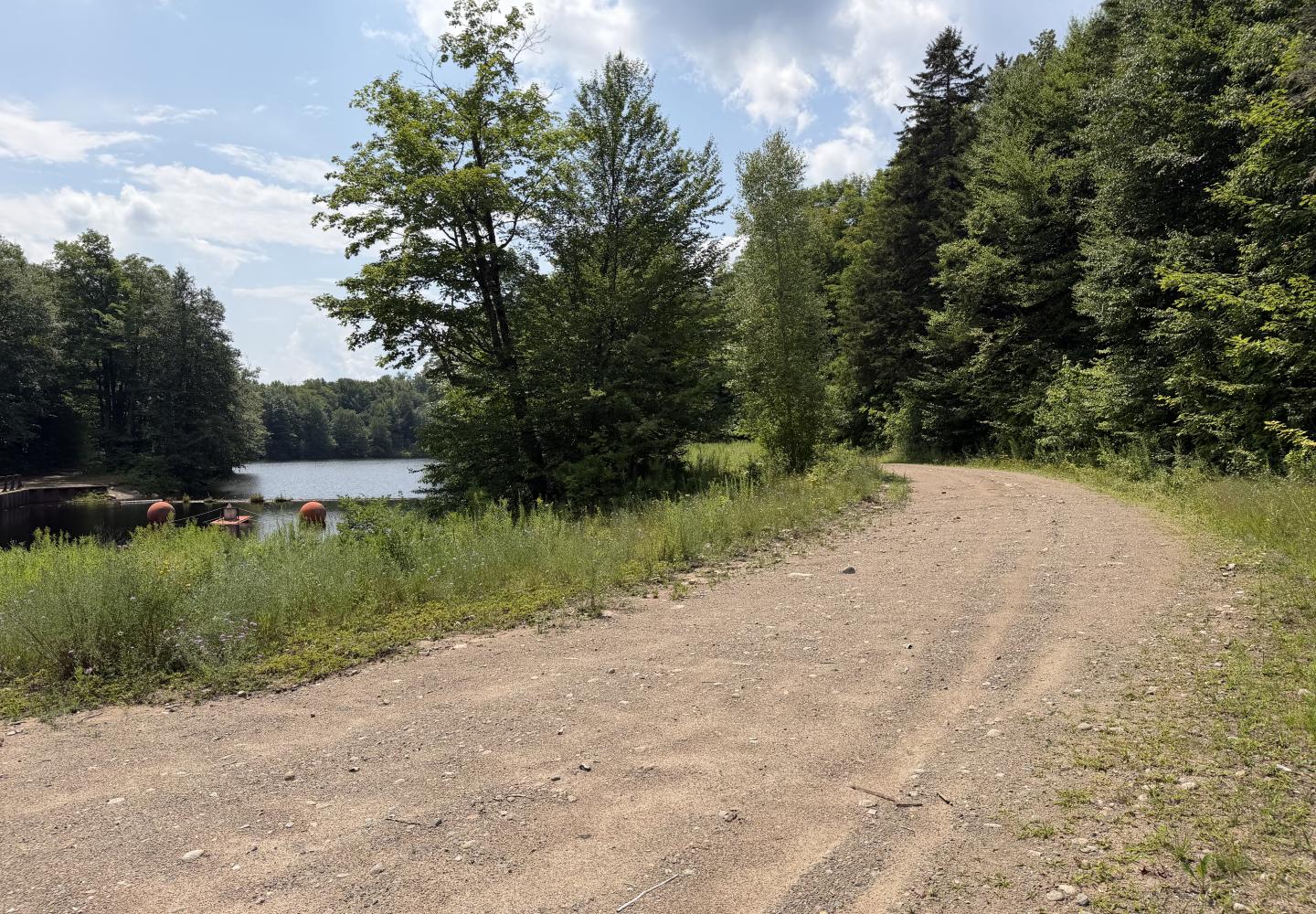
The property contains several miles of dirt roads that presumably could be ridden on gravel, hybrid, and mountain bikes. It’s doubtful, however, that bikes will be allowed, based on the classification of adjacent land as Wilderness and on certain passages in the Adirondack Park State Land Management Plan.
Cyclists should not despair. There are many other opportunities for biking the dirt roads in the vicinity. I’ll provide some suggestions in a bit.
OSI paid $2 million to the Scouting America Longhouse Council for the parcel and intends to sell it to the state. Once that happens, the Adirondack Park Agency will decide its land classification, with input from the state Department of Environmental Conservation. The classification will determine what recreational uses may be allowed.
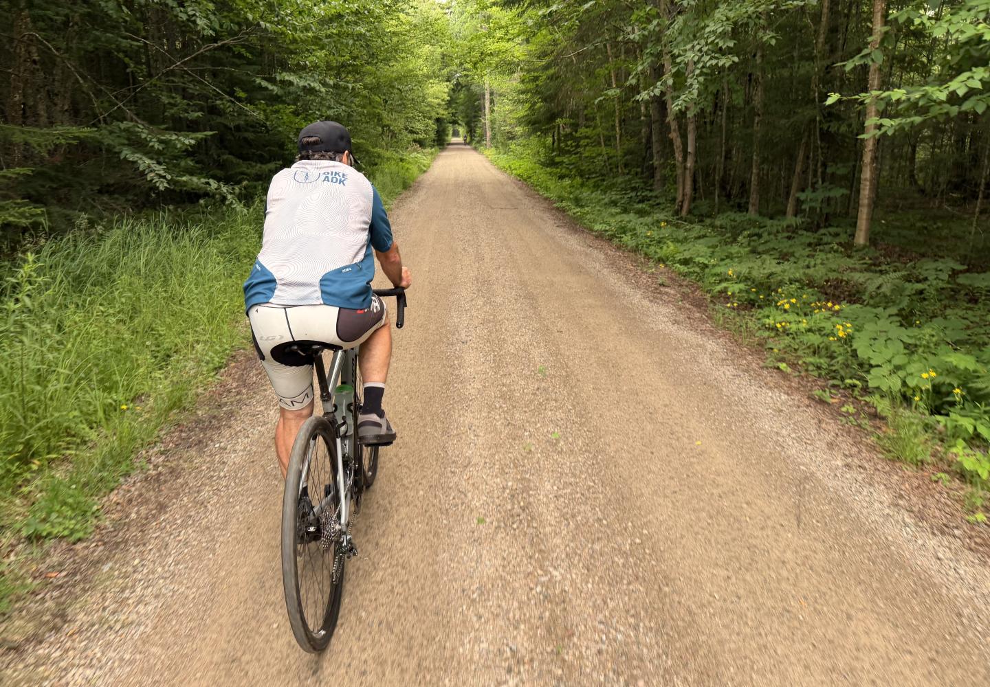
For now, the property remains off limits to the public. Nevertheless, some cyclists have ridden on the property, according to Siobhan Gallagher Kent, an OSI spokesperson. The nonprofit organization intends to post signs to remind people of the closure.
“We know that the vast majority of cyclists and others do not intend to trespass, so we hope the new signage will make it easier for people to enjoy their time on the [state] land without accidentally straying onto private property,” she emailed Bike ADK.
The OSI tract is the largest parcel of private land on Lows Lake, which is a large impoundment of the Bog River and a popular destination for canoe campers. The property is bounded on the south by the lake and elsewhere abuts the Five Ponds Wilderness.
Given this legal landscape, it seems inevitable that all or nearly all of the parcel will be added to the Five Ponds Wilderness, and biking is prohibited in Wilderness Areas.
The situation is complicated somewhat by a road that runs from the dam at the foot of Lows Lake to the former Boy Scout camp and then continues to a five-acre inholding on Parker Island. Near the dam, it passes through state land called the Eastern Five Ponds Access Primitive Area. After leaving the OSI parcel, it passes through the Five Ponds Wilderness Area, though the road itself is classified as Primitive.
A Primitive classification gives DEC the discretion to allow biking. So if the APA were to retain a Primitive designation for the road, cyclists might be allowed to ride to Lows Lake for day and overnight trips.
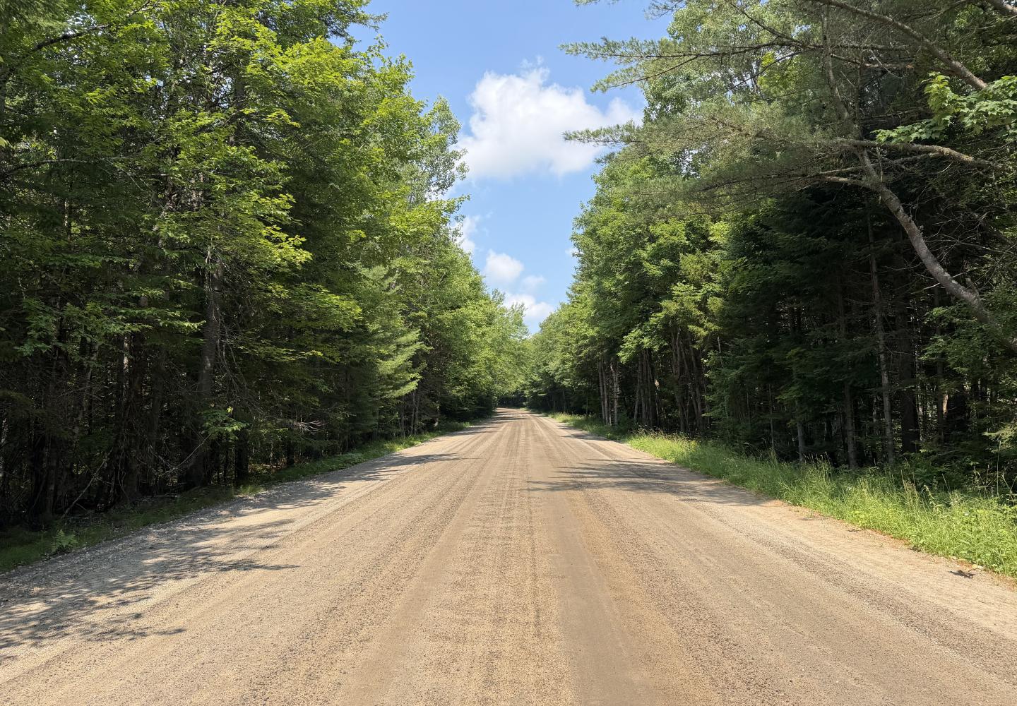
The State Land Master Plan, however, seems to foreclose this option. It declares that if the state acquires the Boy Scout camp, “the road will be closed, and the intervening area classified as Wilderness.” Likewise, the Primitive Area near the dam “will then become part of the Five Ponds Wilderness Area.”
And yet there is that inholding on Parker Island. Presumably the owner of the cabin will want to continue driving there. The master plan calls the legality of this access “unclear.” If motorized access is allowed, the entire road might be designated a Primitive corridor.
Even then, DEC may be reluctant to allow biking. The master plan describes acquisition of the inholding as a high priority. If acquired, it would be added to the Wilderness Area and biking would be prohibited. It’s doubtful that the department would want to encourage biking on the road in the interim.
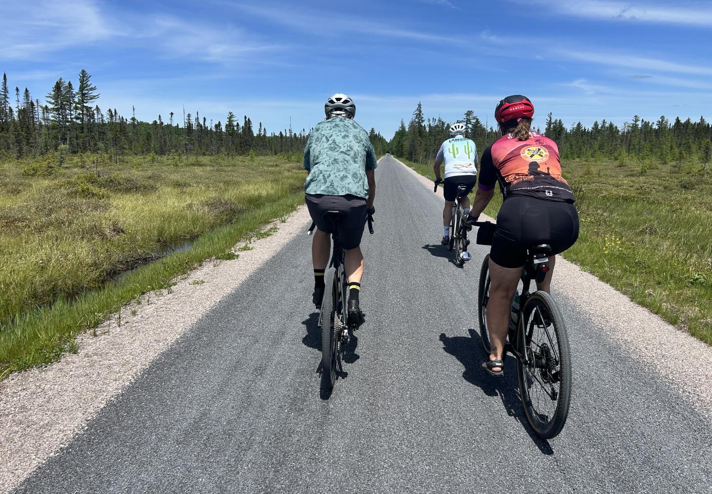
So cyclists should not hold out much hope of biking to Lows Lake. That said, here are a few other gravel-bike options in the vicinity:
Bog River Falls to Lows Upper Dam
This bike-hike combo is one of my go-to trips when friends visit from out of town. I did it last month with my buddies Tim and Clem. We started at a large snowplow turnout on Horseshoe Lake and followed a superb dirt, paralleling the lake and crossing its outlet.
After two miles, we reached the Upper Dam Road in the Eastern Five Ponds Access Primitive Area. It’s closed to motor vehicles, but DEC permits biking. It leads in 2.3 miles to the dam on Lows Lake.
What a splendid road it is! We passed large peat bogs, grassy wetlands, giant white pines, and shady hardwood forests. After ditching our bikes, we hiked a mile-long trail to a lookout on Lows Ridge, which affords a spectacular view of Hitchins Pond, the Bog River, and big mountains in the distance.
If biking and hiking aren’t enough, you can add a swim in Hitchins Pond, a short stroll from the dam.
The round trip entails less than nine miles of biking on flat roads, but you can extend the trip by exploring other dirt roads in the area.
Horseshoe to Massawepie Mire
For a more challenging adventure, try this 31-mile ride. Start again at Horseshoe Lake, but instead of turning down Upper Dam Road, continue straight. At 4.8 miles, turn right to enter the Conifer-Emporium easement lands. Follow a logging road 4.6 miles to a kiosk at the Four Corners. Turn left here, then take a quick right. Shortly, this road leads to the Massawepie Mire.
A different easement allows the public access to the the former Grasse River Railroad corridor, which cuts through the heart of this vast and scenic wetland. Follow the corridor about four miles, crossing the Grass River, to a vehicle barrier. On the other side, you re-enter the Conifer-Emporium easement. In another mile, you reach a well-maintained dirt logging road. Turn left here.
From this point, it’s about seven miles back to the Four Corners. The navigation is a little tricky. For details of this leg, check out my account of a ride I did with Doug Haney (the owner of BikeADK) and Leigh Walrath--keeping in mind that we started in a different place. When you return to Four Corners, retrace your route back to Horseshoe Lake.
This ride goes through remote terrain, and you may encounter beaver floods, a stream crossing, and overgrown roads. There are no signs to guide your way, so bring a map and compass. For a shorter and simpler trip, you could just ride to the mire and back.
Sabattis Road
For a ride without navigational challenges, consider a round trip on the Sabattis Road, a wide dirt thoroughfare that passes between the Whitney Wilderness and Round Lake Wilderness. Start at the Round Lake parking area for paddlers and follow the county road 8.3 miles to a private-land boundary.
As you set off, enjoy views of Round Lake and Little Tupper Lake. At 7.9 miles, the road crosses Bear Pond, with views in both directions. When you reach the end, look for the partially hidden historical marker about the fire that destroyed Long Lake West (another name for the erstwhile community of Sabattis) in 1908. Sabattis was a stop on the Adirondack Division of the New York Central Railroad. The tracks are still in use by a tourist train.
Beyond the end of the county road, a rougher dirt road continues about three miles to the Upper Lows Dam, but it is off limits to the public.
For more mileage, you could bike down the 5.6-mile access road to Lake Lila on the return trip. From the parking area, it’s a short walk to a beach on the lake.
These are just a few ideas. Get a good map or app, like Ride with GPS, and plot your own route. That’s part of the fun.