Ride Report: Daniels Road in Saratoga Springs
Type 1 fun is enjoyable in the moment. Type 2 fun entails some suffering, but afterward you relish the experience.
My time on the mountain-bike trails in and next to the Daniels Road State Forest fell somewhere in between. Let’s call it Type 1.5 fun.
The 523-acre state forest, located in northern Saratoga County, is known for old-school, hand-made trails with many technical challenges. The Saratoga Mountain Bike Association begin building the trails way back in the 1990s, when the property was owned by the Finch, Pruyn timber company. The network also includes trails on adjacent land owned by Skidmore College.
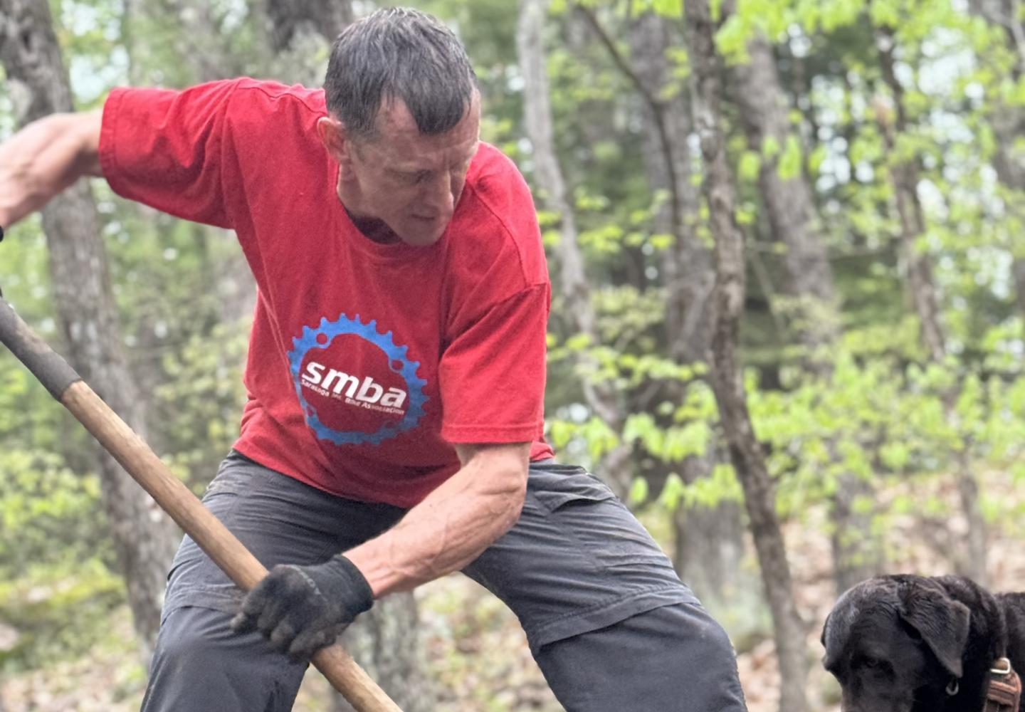
Art Picard, SMBA’s president, and Josh Clevenstine, the group’s spokesperson, say the difficulty of the trails is partly due to age. Unlike modern machine-built trails, with their smooth surfaces and berms, the Daniels Road trails were raked by hand and packed down by riding. And decades of use has exposed a lot of rock.
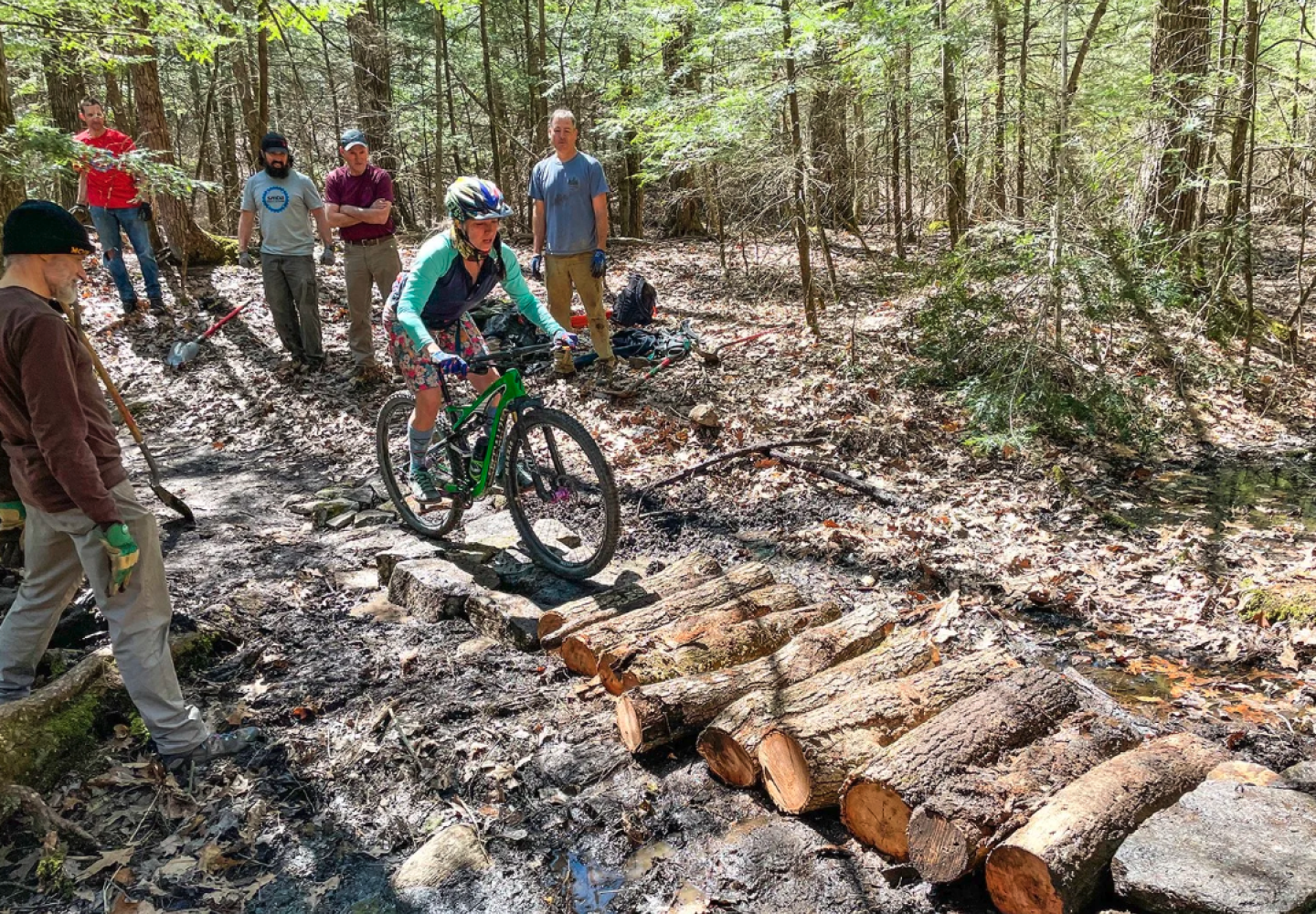
The topography adds to the difficulty. Several low ridges with bedrock slabs traverse the area. On my ride, I often lacked momentum to make it to the top of a steep outcrop. So I would either push the bike up the slab or back up the bike for a second try. Coasting down the slabs could be intimidating, too. I sometimes stopped to scout them before taking the plunge.
For Daniels regulars, the bedrock outcrops are part of the fun. “It’s challenging to get over these obstacles,” Picard conceded, “but that brings you back.”
As an intermediate rider, I felt a little intimidated by Daniels Road’s reputation, but I wanted to see if I could link some easier trails in a circuit that would provide a rider of my ability a modicum of Type 1 fun. Since I enjoyed myself during the ride, I guess I succeeded. But I also suffered, both from fatigue and from humiliation at pushing the bike more often than I care to admit.
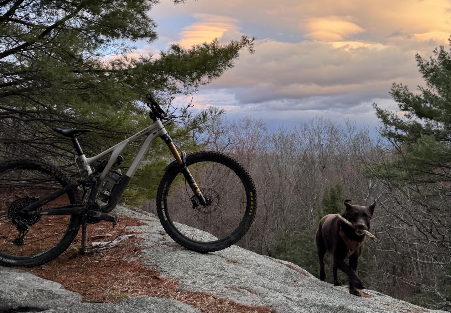
Consider the intermediate trail Stonewall: The Prequel. Over 0.65 miles, I hopped off my bike at least four times--at one of the slabs, at a large log, at a hill with sharp rocks, and at a narrow gap between two trees that left my handlebars only an inch to spare. All this was in addition to the usual rocks and roots found on Adirondack trails.
Sandbagged? It did seem harder than many other intermediate trails I’ve ridden, but in mountain biking, as in rock climbing, ratings are subjective. I suspect the Daniels Road regulars have a lot of Type 1 fun on this trail.
Clevenstine conceded that the difficulty ratings are tough compared with those in nearby mountain-bike networks. A green trail at Daniels, he said, might be considered an intermediate or even a black-diamond trail at the Gurney Lane and Rush Pond networks in Queensbury (which SMBA also maintains). However, he said the Daniels ratings are relative to the network and internally consistent.
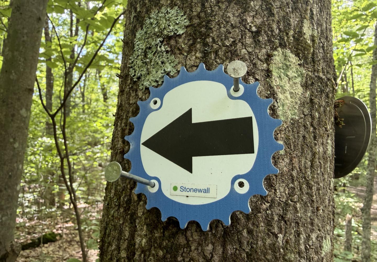
My biggest complaint about Daniels Road concerns the signage. Some intersections were unmarked (though I’m told more signs are coming). Also, the trail names on the SMBA disks were too small to read at a glance. So I found myself stopping a lot to check my location. Also, the signage on the state land differs from that on the Skidmore land.
THE CIRCUIT
The trail network has three trailheads. There is a small parking area on Skidmore property along Daniels Road. A more popular trailhead exists at the Artisanal Brew Works off State Route 9. The main parking area, however, lies on state land reached by a half-mile dirt road from Daniels Road. This is where I started.
I biked a dozen trails. Except for three green trails--Stonewall, Stonewall: The Sequel, and Carriage Trail--they were rated intermediate. In all, I rode 8.2 miles, with 715 feet of climbing. It’s a good introduction to the network’s intermediate offerings. Expert riders can seek greater challenges on black-diamond trails such as Bee, the Rookery, and Putnam Dam.
The route described below differs slightly from the one I actually did, as I made a few wrong turns. It is roughly nine miles long.
PILGRIM: This trail starts on the east end of the parking area, near the kiosk. It heads uphill, then loops back to cross Main Trail, one of two trunk trails in the network. It makes another loop and returns to Main Trail. The second loop on Pilgrim features a large slab that was fun to descend on the way back.
MAIN TRAIL & 107: Turn left on Main Trail. When you reach a four-way junction, turn left onto 107 and follow it to Carriage Trail, the other trunk trail. Stonewall: The Prequel begins on the other side of Carriage Trail.
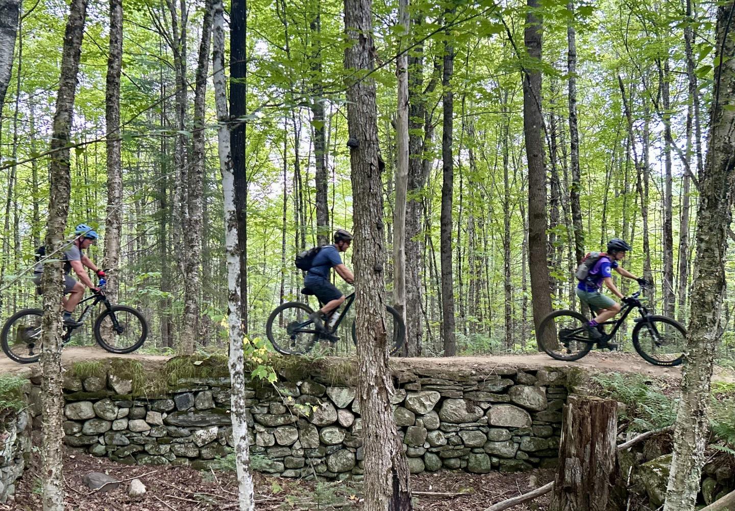
STONEWALL - THE PREQUEL: Described above. True to its name, the trail passes through an old stone wall--one of many seen on the circuit.
STONEWALL: At the end of the Prequel, turn right and go past or over a stone wall. At the next junction, turn left to get on Stonewall: The Sequel.
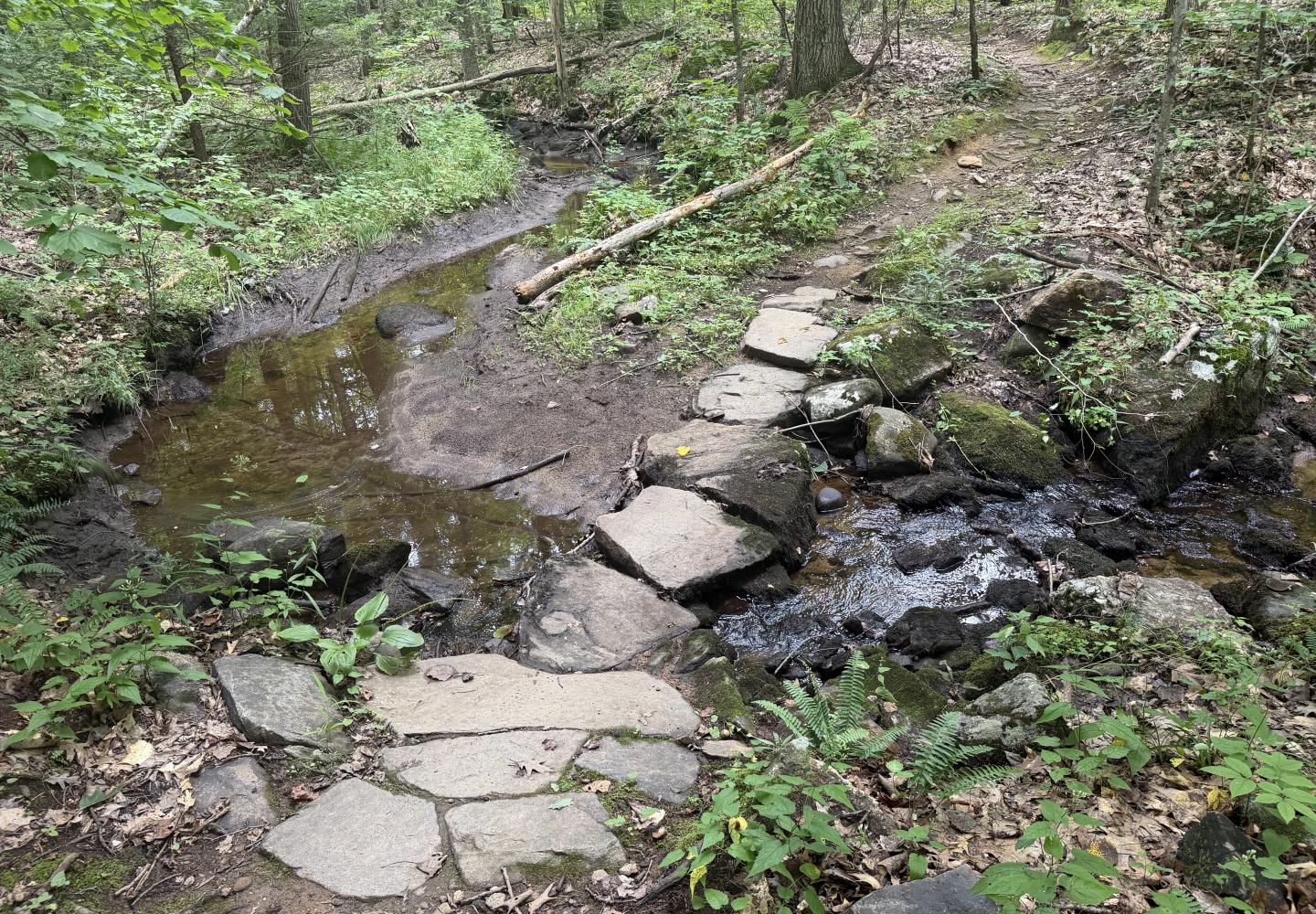
STONEWALL - THE SEQUEL: This is a short interior loop. When it returns to Stonewall, turn left and ride to another junction with Carriage Trail, reached just after crossing a stream on a stone bridge (one of several I saw).
ROGUE ONE: At the end of Stonewall, turn left on Carriage Trail and go a very short way to Rogue One and turn left. The difficulty of this 1.3-mile-long route seemed more in line with the intermediate trails I am used to. There were rocks and roots and small ups and downs, but nothing I couldn’t handle until I came to a ridge with a little cliff. The trail went around the cliff, but I still had to push the bike up the hill. Brave souls biking in the opposite direction sometimes ride off the cliff.
CARRIAGE TRAIL: By the time you finish Rogue One, you might feel ready for something easier. Turn left and follow the double-track Carriage Trail back to Stonewall. Turn left again and take Stonewall to its end, this time skipping the interior loop.
WITCH HUNT: From the end of Stonewall, cross Carriage Trail to get on Witch Hunt. Expect a few challenging ups. After climbing, you get to enjoy a series of slab descents. Those were Type 1 fun!
GOODY TWO SHOES: Shortly before the end of Witch Hunt, turn left on Goody Two Shoes. Pedal over a log, grind up more steep bits, and then loop back to Carriage Trail.
HOWLER: I turned left on Carriage Trail and followed it to Monkey. In retrospect, I should have crossed Carriage Trail to get on Howler, which leads to the same place in a quarter-mile. This would have maximized my time on single-track.
FULL MONKEY: Howler ends at a four-way intersection with Monkey and Full Monkey. Go straight to get on the latter. At Full Monkey’s end, turn left on Carriage Trail Connector and follow it to Monkey. Turn left to return to the aforementioned intersection.
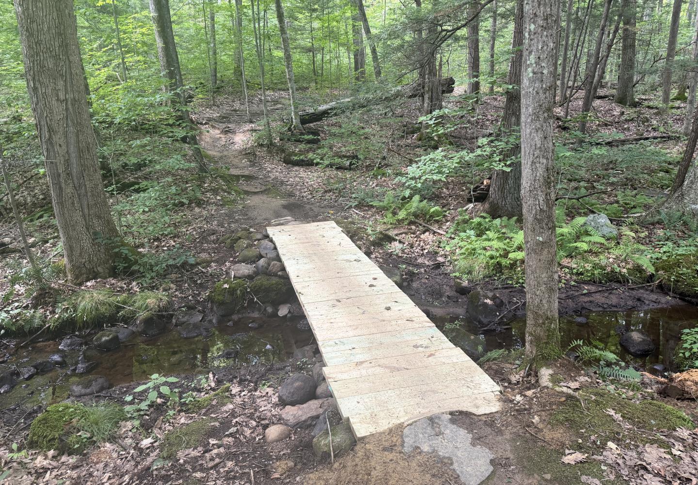
MONKEY: Most of the hard work is over. Descend Monkey to a new wooden bridge over a stream and continue to Carriage Trail. Cross the road to get on 107.
THE FINISH: Take 107 to Main Trail and Main Trail to Pilgrim. Turn right to follow Pilgrim back to the parking area. Enjoy the slab descent.
OTHER OPTIONS
Daniels Road has much more to offer than this circuit, especially for experts. Altogether, the network boasts 48 trails totaling 31 miles. Thirteen of the trails are black diamonds and eight are double black diamonds.
One of Clevenstine’s favorite expert rides goes from Artisanal Brew House to the black-diamond Bee. “I love the climb [from the trailhead]; it warms me up, and I love ending with the downhill. Bee counterclockwise flowing into Killer Bee is a great trail.”
For a longer outing, he might do the Dam Loop (the Putman Dam and Rookery trails) or the Upper Canyon and Devil’s Den loops. The latter can be found at the north end of the state forest.
Daniels Road doesn’t have much for the beginning rider. Fortunately, the nearby Graphite Range Community Forest offers six miles of trails that, while rated intermediate, are considerably easier than the Daniels trails. However, there is a climb at the start. Click here to read an earlier column about the Graphite Range trails. There are plans to create a trail linking the two networks.
Both trail systems are located a little south of the Adirondack Park and west of the Northway. If driving south on the interstate, get off on Exit 17. Following are the GPS coordinates for each.
Daniels Road State Forest: 43.111095, -73.788031
Graphite Range Community Forest: 43.139529, -73.768602