Explore the Remote Massawepie Mire
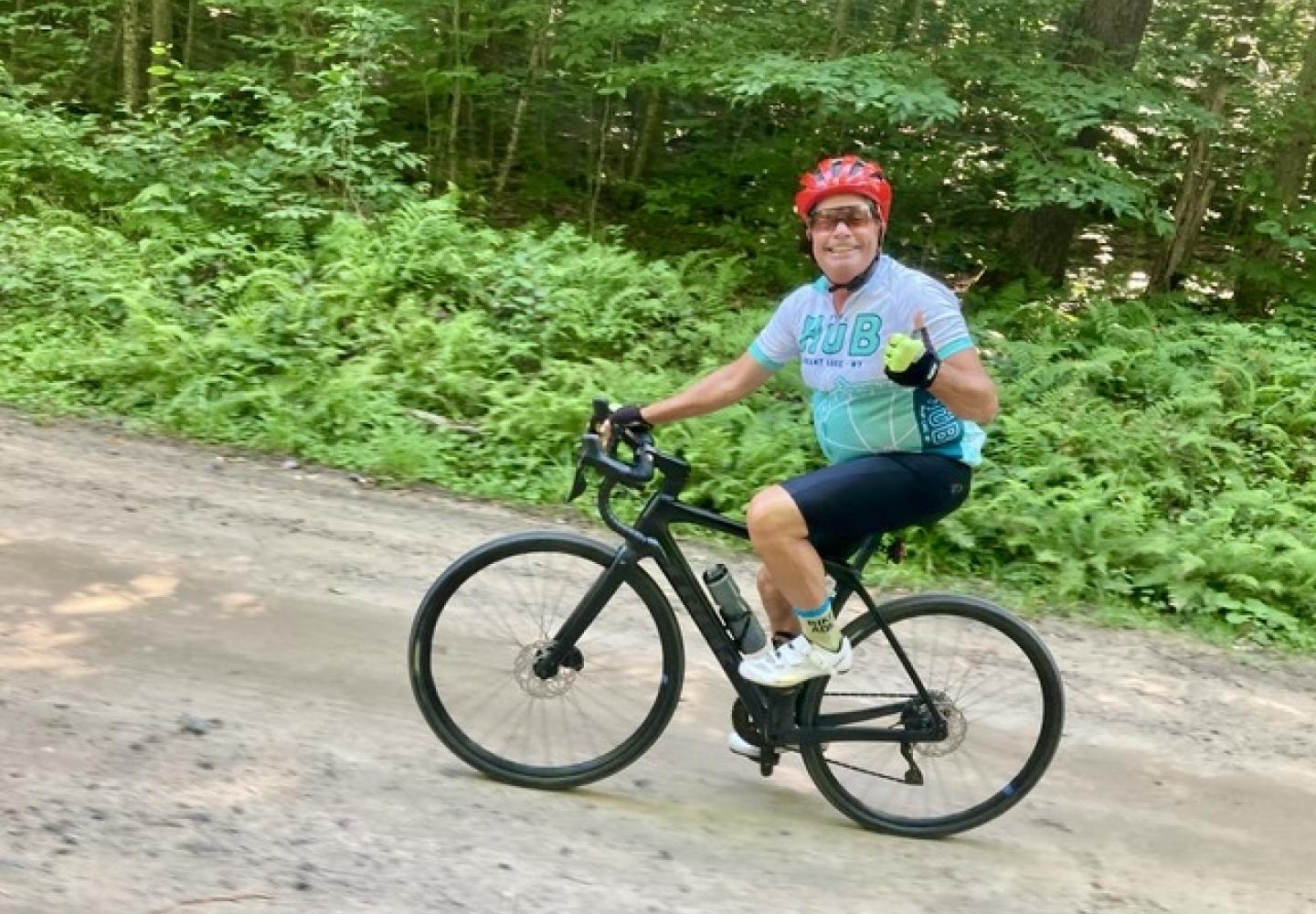
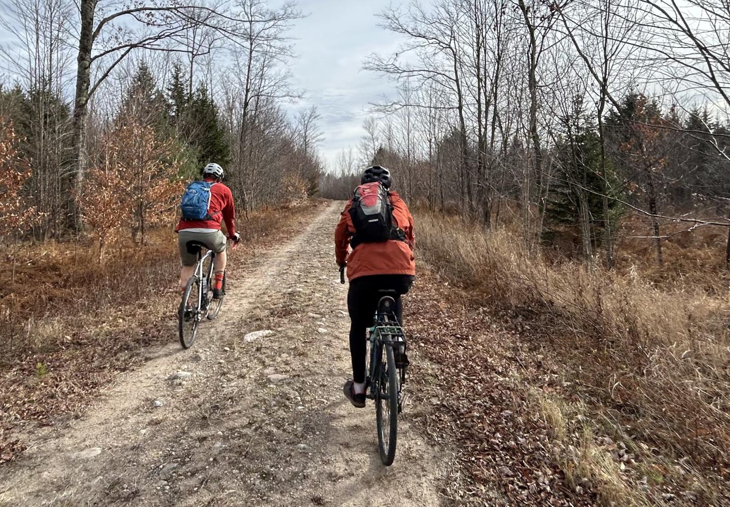
I love riding my gravel bike through the Massawepie Mire on the bed of the long-gone Grasse River Railroad. It can be bumpy going over the old ties, but that’s a minor inconvenience for the enjoyment of biking through the largest peatland in the state.
On several occasions, I’ve biked round-trip through the mire. But like many cyclists, I prefer traveling in a loop. Fortunately, that is possible, thanks to the public’s right to bike on logging roads on the Conifer-Emporium easement lands.
The loop I have in mind is 17 miles long and entails only 550 feet of ascent. Most of the roads are excellent for gravel bikes, though you should expect some grassy or rough stretches. Also, there is one stream crossing (which only adds to the adventure). A hard-tail mountain bike also would be a good choice for this ride.
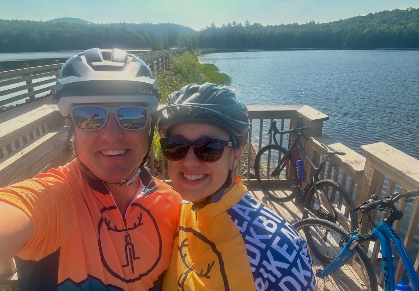
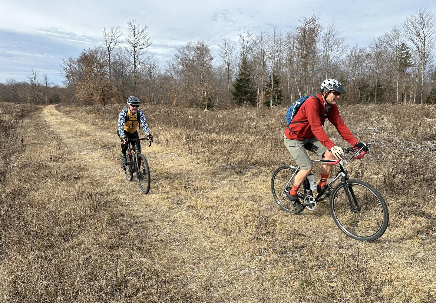
I first biked the Massawepie Loop solo in June 2024. Last fall, I did it again with Doug Haney, the owner of Bike Adirondacks, and his friend Leigh Walrath. Both enjoyed the route.
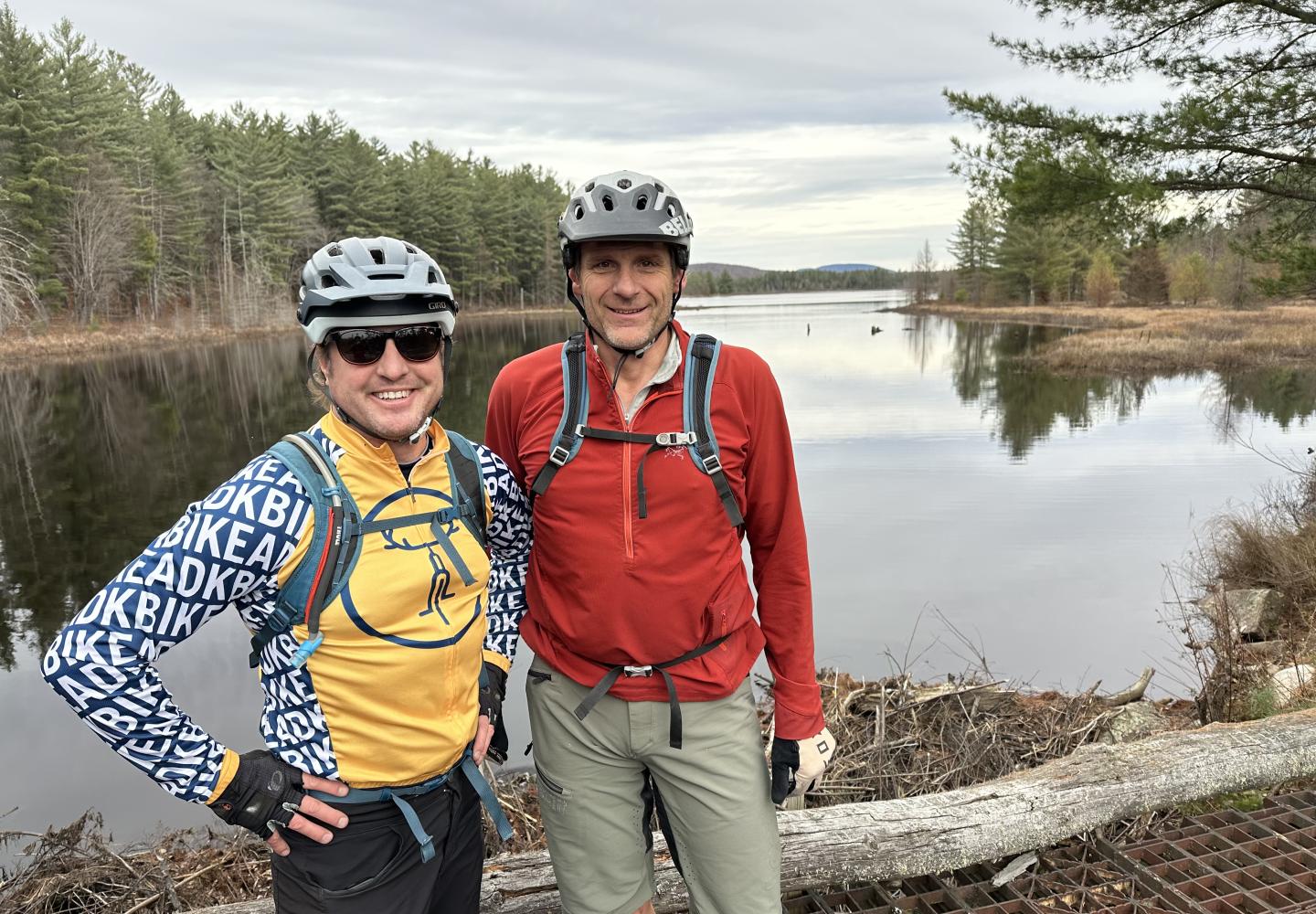
"The Adirondacks are peppered with unique routes like Massawepie, but you've got to know a guy like Phil to find them," said Doug. "The cool thing is that once we do, we share them with those who like to explore too."
We parked at the Grass River picnic area on Route 3 east of Cranberry Lake. In the account that follows, mileage is measured from here unless otherwise noted. I wore a GPS watch, but the figures should be considered approximations.
From the picnic area, we biked west on a nice shoulder for 0.35 miles to the easement lands. (Look for a wooden sign on the left side of the highway.) Going around a vehicle barrier, we headed up a logging road (known as Brandy Brook Road) that parallels the Grass.
At just over two miles, we reached a junction with a grassy road. We stayed on Brandy Brook Road, veering right. Later, we would return on the grassy road.
Over the next few miles, the logging road climbed over a hill, descended to a beaver pond, climbed again, and descended to a larger beaver pond. Be aware that the road may be flooded near the ponds.
The road climbed some more after the second beaver pond. At 4.85 miles we came to a junction with a road on the right. You should continue straight here.
At 5.5 miles, we reached the highest elevation on the loop--1,665 feet, just a few hundred feet above our starting point. The road started trending downhill.
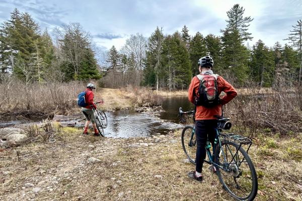
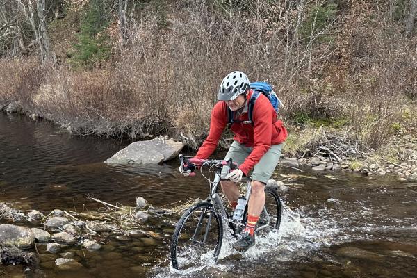
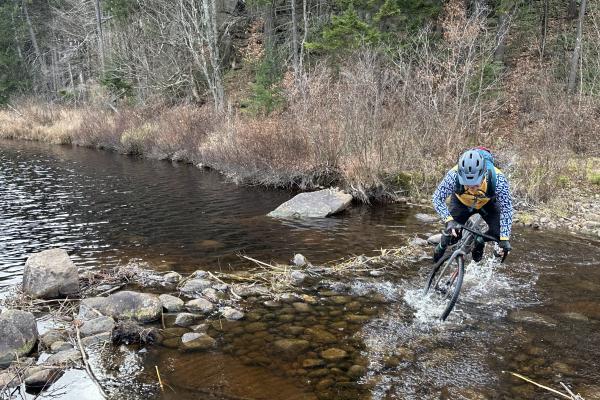
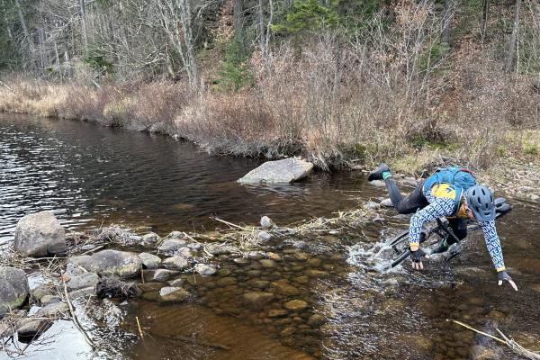
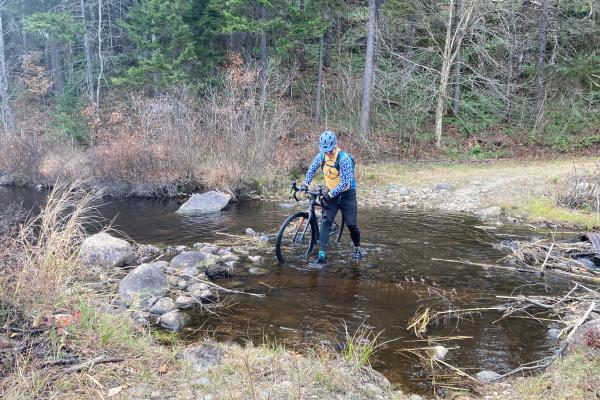
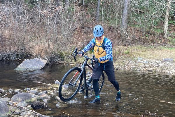
At 6.8 miles, the road made sharp bend to the left. It was now grassy but still rideable. After a steep downhill, we came to the Burntbridge Pond outlet at 7.6 miles. It’s an open stream. On my first ride, I dismounted and tiptoed across shallow water on rocks. This time, we all tried to power through the water. Leigh and I made it across dry, but Doug took a spill. He got a little wet, but his spirits remained undampened.
After this, we cruised on level roads. At 8.25 miles, we turned left at a junction. Just beyond this, we came to another junction and went straight.
At 8.85 miles, we crossed the Grass River on a wooden bridge. (This is where my other friends and I put in for the canoe/bike outing.) We then went around a vehicle barrier and, at 9.1 miles, made a sharp left to head toward the Massawepie Mire.
Bypassing another barrier, we entered the property of the Grasse River Club. The public is allowed to cross the private land, but you must stick to the trail. A short distance from the barrier, we went straight at a four-way intersection and then left at a fork.
Soon we entered the mire and began seeing partially sunken railroad ties. When possible, we went around them. We also had to skirt or go through puddles as we pedaled through a vast wetland of lush grasses, black spruce, and tamaracks.
If you go, you’ll likely see signs about spruce grouse. The mire is a breeding ground for the spruce grouse, which is endangered in New York State. In recent years, the state Department of Environmental Conservation has released birds captured in Canada and Maine to help the population grow. Alas, we didn’t see any on our trip.
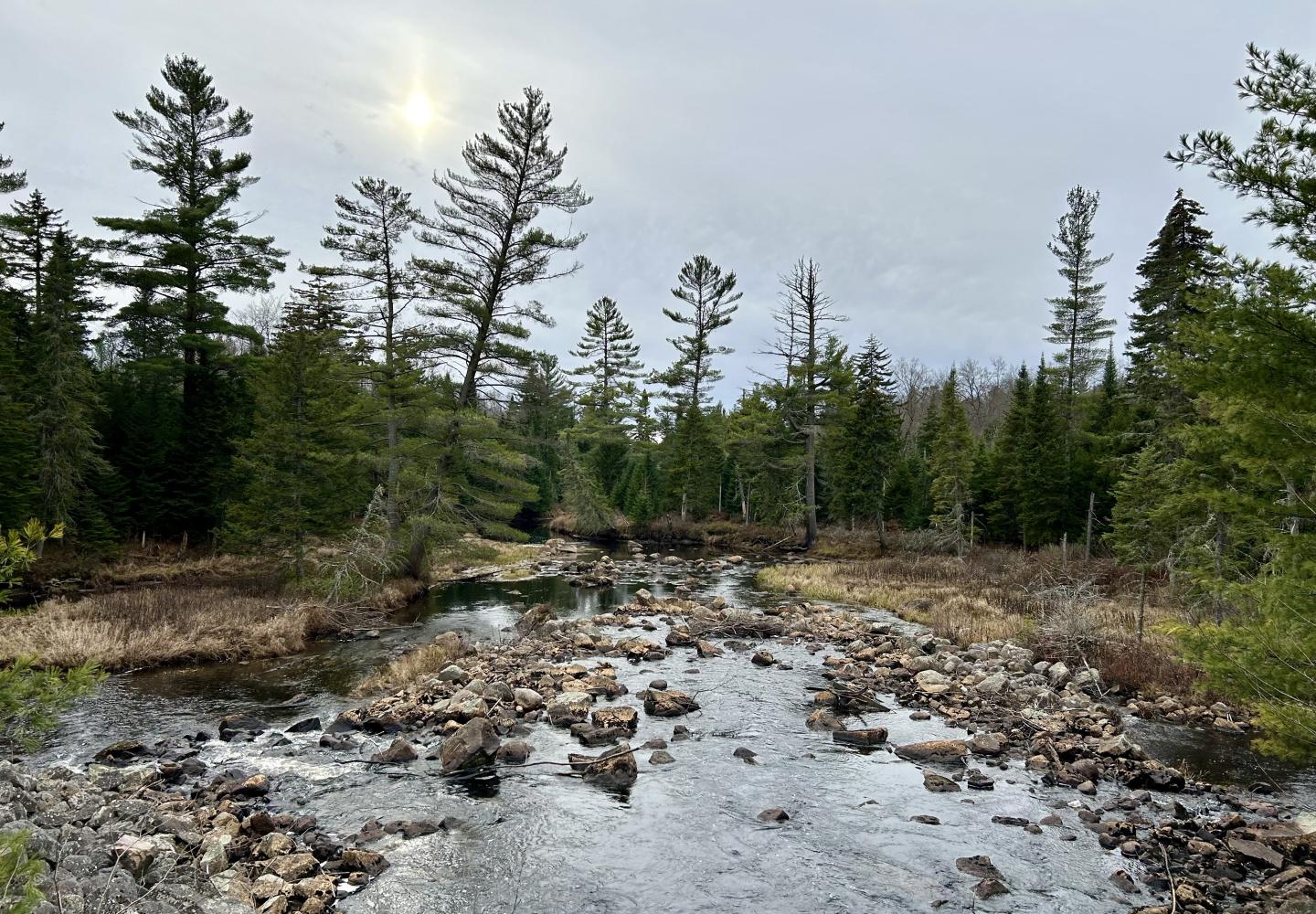
At 9.5 miles, we crossed the Grass\ again on a bridge that afforded long views upstream and down. After a bit longer, the old rail bed entered the forest. We continued straight at all junctions.
At 13.30, we could see the Grass River Flow through the trees and soon after came to yet another vehicle barrier, this one marking the boundary between the Grasse River Club and the Conifer-Emporium easement lands.
At 14.1, we went straight at a fork and came to a luxe outhouse with a mirror for those who want to look their best in the wild. From the outhouse, you can bear right to go to the foot of the Grass River Flow for a view well worth the short detour. Otherwise, bear left and follow the overgrown road a tenth of a mile or so to return to the junction with Brandy Brook Road. Now retrace your tracks for two miles to get back to the Grass River picnic area.
DIRECTIONS: From Seveys Corners, drive west on NY 3 for 4.4 miles to the Grass River picnic area on the left. If coming from Cranberry Lake, the picnic area will be on the right 250 yards after crossing the Grass River.
GPS: 44.248914°, -74.774547°